
Avenc Marquès
A 14-metre-deep pit at Montant de Tost (Ribera d'Urgellet), explored between 6 and 7 June 1965 by the SIRE–UEC of Igualada.
EspeleoWorld
Avenc Marquès
A 14-metre-deep pit at Montant de Tost (Ribera d'Urgellet), explored between 6 and 7 June 1965 by the SIRE–UEC of Igualada.
Ribera d'Urgellet · Alt Urgell
Length: 35 m · Depth: 14 m
Updated record
https://espeleoworld.com/en/c/avenc-marques-ribera-d-urgellet
Information can change. Always verify coordinates, access, weather, and cave conditions before setting out.
A 14-metre-deep pit at Montant de Tost (Ribera d'Urgellet), explored between 6 and 7 June 1965 by the SIRE–UEC of Igualada.
Topographic
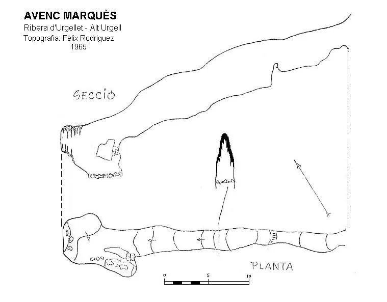

Espeleoindex · CC BY-NC 4.0, https://creativecommons.org/licenses/by-nc/4.0/ · Image © its author.
Description
Morphology
A triangular opening gives way to a 10-metre ramp that ends in a -3-metre drop; the gallery continues descending on a slope for some 20 metres while gradually widening, and a new -4-metre drop places one at the bottom of the cavity.
History
Known to the local people, it was explored between 6 and 7 June 1965 by the SIRE–UEC of Igualada. The cavity was given the name of the person from the village who informed them of the existence of the cavity.
User Comments (0)
No comments yet.
Be the first to share your experience!
Registered Explorations (0)
No explorations registered yet.
Register your visit to this cave!
Bibliography
- Rodriguez Gayol, Fèlix. (1965).-”Cadí de Tost”. Cavernas (6):191-194.GE Badalona
Nearby caves
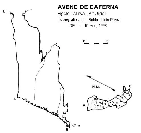
Avenc de Caferna
1.4 km · SE
Fígols i Alinyà (Alt Urgell)
1 topo.
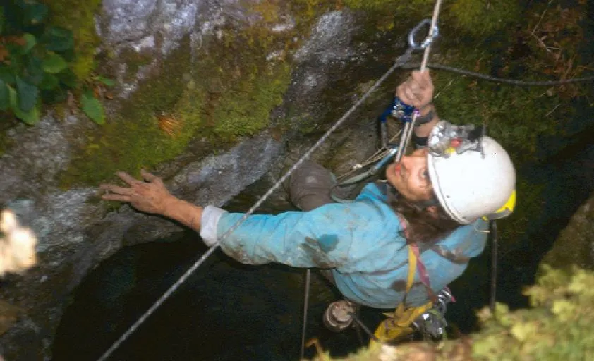
Grallera del Coll de l'olla
1.7 km · E
Vansa i Fórnols, La (Alt Urgell)
1 topo.3 photos
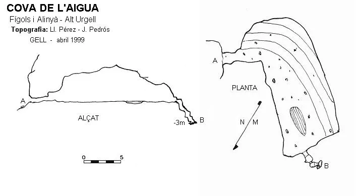
Cova de l'Aigua
2.5 km · SE
Fígols i Alinyà (Alt Urgell)
1 topo.

Forat de les Boixederes
2.5 km · N
Vansa i Fórnols, La (Alt Urgell)
1 topo.
Source: Espeleoindex (espeleoindex.com), modified. CC BY-NC 4.0, https://creativecommons.org/licenses/by-nc/4.0/