
Avenc dels Ametllers
Avenc de 24 m. de fondària a Pratdip (Baix Camp)
EspeleoWorld
Avenc dels Ametllers
Avenc de 24 m. de fondària a Pratdip (Baix Camp)
Pratdip · Baix Camp
Length: 55 m · Depth: 24 m
Updated record
https://espeleoworld.com/en/c/avenc-dels-ametllers
Information can change. Always verify coordinates, access, weather, and cave conditions before setting out.
A 24 m deep pit in Pratdip (Baix Camp)
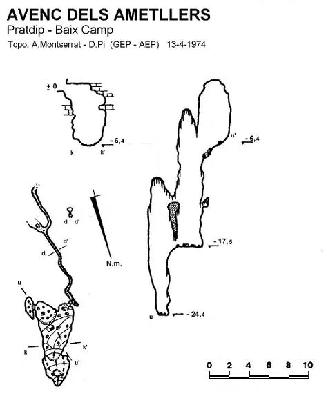
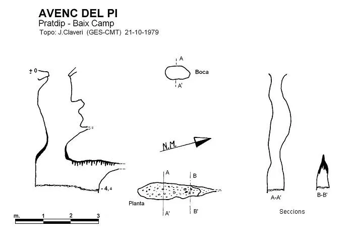
Topographic
Espeleoindex · CC BY-NC 4.0, https://creativecommons.org/licenses/by-nc/4.0/ · Image © its author.
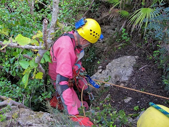
Photos
Espeleoindex · CC BY-NC 4.0, https://creativecommons.org/licenses/by-nc/4.0/ · Image © its author.
Description
Morphology
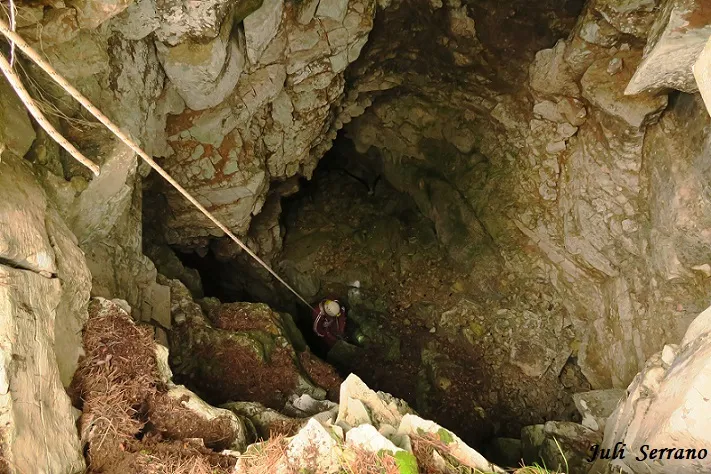
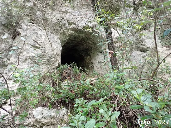
The entrance is circular in shape and a first 6-metre shaft places us on a ledge into which sunlight enters. It continues into a fan of scree with a steep incline towards the S. This descent leads us, along its right-hand side, to a small chamber from which emerges a very narrow gallery oriented S, which was followed for about 17 metres. It describes several meanders until reaching a fork. The gallery, owing to its low height and a block covered with concretions, is almost totally obstructed. The other gallery that emerges from the fork is perpendicular to the previous one, running about 7 metres until progress is impossible because of its narrowness. Back at the base of the entrance shaft, it continues through a sloping passage and after an 11-metre shaft with a circular base that gives, on one side, onto another 7-metre shaft, where the cavity ends.
History
The only references we have are those of the exploration carried out by members of the GEP of the Agrupació Excursionista Pedraforca (Barcelona) on 13 April 1974.
User Comments (0)
No comments yet.
Be the first to share your experience!
Registered Explorations (0)
No explorations registered yet.
Register your visit to this cave!
Bibliography
- Borràs, J.; Miñarro, JM.; Talavera, F. (1984).-”el Baix Camp, el Priorat i la Ribera d'Ebre”. Catàleg espeleològic de Catalunya. (Vol. 7): 283 pp .Políglota. Barcelona.
- Montserrat, A. (1975).- “L'avenc dels Ametllers”. Ildobates (VI): 60-66. GEP Agrupació Excursionista Pedraforca. Barcelona.
- Montserrat, A. (1979).- “Sobre algunes cavitats de les comarques del Baix Camp i Priorat”. Espeleòleg (28): 489-530. ERE del CEC. Barcelona.
- Actualització de fitxa octubre de 2019. Coordenades, situació i fotografies aportades per Juli Serrano i Francesc Rubinat.
Nearby caves


Source: Espeleoindex (espeleoindex.com), modified. CC BY-NC 4.0, https://creativecommons.org/licenses/by-nc/4.0/