
Avenc del Sot del Guix
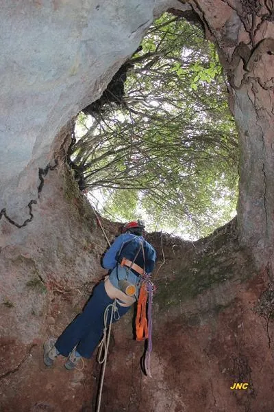
Small pit 12 m deep in Castellar del Vallès, with a 4 m shaft, galleries and drops, a water loss point of the tributary stream of the Sot del Guix.
EspeleoWorld
Avenc del Sot del Guix
Small pit 12 m deep in Castellar del Vallès, with a 4 m shaft, galleries and drops, a water loss point of the tributary stream of the Sot del Guix.
Castellar del Vallès · Vallès Occidental
Length: 20 m · Depth: 12 m
Updated record
https://espeleoworld.com/en/c/avenc-del-sot-del-guix
Information can change. Always verify coordinates, access, weather, and cave conditions before setting out.
Small pit 12 m deep in Castellar del Vallès, with a 4 m shaft, galleries and drops, a water loss point of the tributary stream of the Sot del Guix.
Topographic
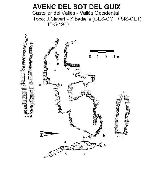

Espeleoindex · CC BY-NC 4.0, https://creativecommons.org/licenses/by-nc/4.0/ · Image © its author.
Description
Morphology
The mouth, of reduced dimensions (0.8 x 0.5 m), gives way to a narrow 4 metre shaft where some fitted blocks and some small bedrock are observed. At its foot and in a N direction, a short 3 metre gallery continues that leads into a small chamber where a water loss is observed on the floor. If one continues descending from the 4 metre shaft, we will descend a drop of 4 metres more, slightly narrower than the previous one; in a N direction and through a window, exploration can be continued by downclimbing a 3 metre drop that leads to a sloping room, at the bottom of which a water loss is observed; the ceiling is quite high and a clear water input is seen that possibly comes from the previously mentioned small chamber.
Quite a curious cavity structured on a N-S joint that crosses the small exterior stream. The middle zone of the cavity is crossed by a thick layer of sandy marls almost 4 metres thick, and it is in this stretch that it has developed more horizontally.
Hydrology
The pit is a small water loss point of the tributary stream of the Sot del Guix, although at present it remains a little displaced from the thalweg; the final room is located directly under the stream bed, being in rainy periods a very important water catchment point, and a visit is not advisable on days of heavy rain.
History
Known by the woodcutter of Sant Feliu del Racó, Mr. Josep Lleixa, he accompanied members of the SIS – CET and of the GES – CMT (Terrassa), who explored the cavity for the first time on 15 May 1982.
User Comments (0)
No comments yet.
Be the first to share your experience!
Registered Explorations (0)
No explorations registered yet.
Register your visit to this cave!
Bibliography
Buil, A. i Badiella, X. (1985).- “Els petits avencs de la nostra muntanya (XVII)” Arxiu del Centre Excursionista de Terrassa (40-41): 926-929.
Nearby caves
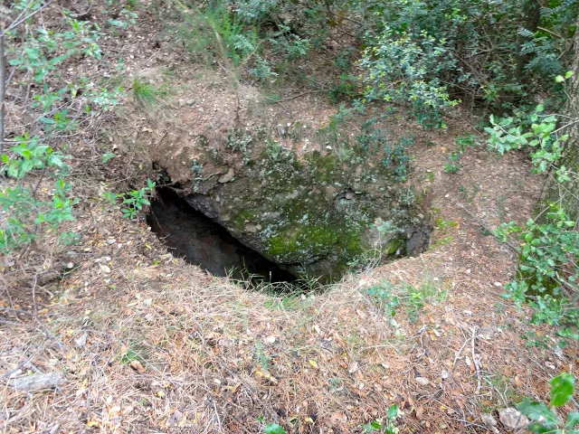
Avenc del Pujol del Mas Pinetó
0.7 km · W
Castellar del Vallès (Vallès Occidental)
1 topo.1 photos
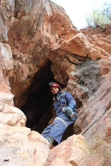
Cova de la Font de la Riera
1.0 km · SE
Castellar del Vallès (Vallès Occidental)
1 topo.4 photos
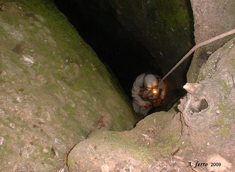
Avenc del Muronell
1.2 km · W
Castellar del Vallès (Vallès Occidental)
1 topo.3 photos
Avenc de la Tica
1.2 km · NW
Castellar del Vallès (Vallès Occidental)
1 topo.3 photos
Source: Espeleoindex (espeleoindex.com), modified. CC BY-NC 4.0, https://creativecommons.org/licenses/by-nc/4.0/