
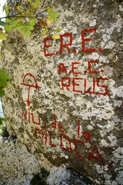
Avenc del Niu de la Miloca
Avenc de 67 m. de fondària a Colldejou (Baix Camp)
EspeleoWorld
Avenc del Niu de la Miloca
Avenc de 67 m. de fondària a Colldejou (Baix Camp)
Colldejou · Baix Camp
Length: 120 m · Depth: 67 m
Updated record
https://espeleoworld.com/en/c/avenc-del-niu-de-la-miloca
Information can change. Always verify coordinates, access, weather, and cave conditions before setting out.
A 67 m deep pit in Colldejou (Baix Camp), located and explored in 1982 by members of the ERE of the Associació Excursionista Catalunya de Reus.
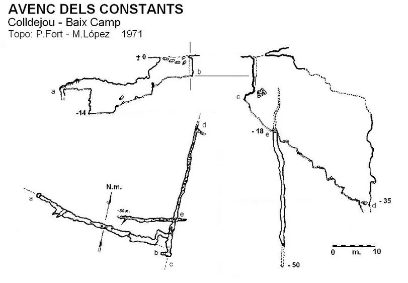
Topographic
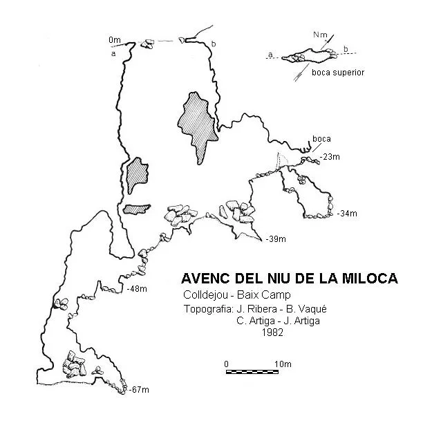
Espeleoindex · CC BY-NC 4.0, https://creativecommons.org/licenses/by-nc/4.0/ · Image © its author.
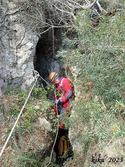
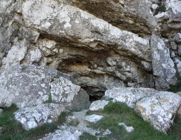
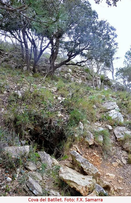
Photos
Espeleoindex · CC BY-NC 4.0, https://creativecommons.org/licenses/by-nc/4.0/ · Image © its author.
Description
Morphology
A small cave entrance, between blocks, gives way to a descending gallery that at 12 metres opens out above a 5-metre pit occupied by blocks. The base of this pit is very long and uneven, mainly due to the blocks found in it, as well as being the floor of a -35 metre pit that has an upper entrance. At the lowest end opens the access point to the lower part of the cavity, formed by a succession of steps and small staggered pits partially obstructed by blocks, until reaching the maximum depth of -67 metres with respect to the upper entrance.
History
Located and explored in 1982 by members of the ERE of the Associació Excursionista Catalunya de Reus, at that time still a delegation of the AEC of Barcelona, who provided the data to furnish volume 7 of the Catàleg Espeleològic de Catalunya (1984).
User Comments (0)
No comments yet.
Be the first to share your experience!
Registered Explorations (0)
No explorations registered yet.
Register your visit to this cave!
Bibliography
- Borràs, J.; Miñarro, JM.; Talavera, F. (1984).- Catàleg espeleològic de Catalunya. Vol. 7 (el Baix Camp, el Priorat i la Ribera d'Ebre). Políglota: 283 pp. Barcelona.
- Situació i foto, “Tot Muntanya” tot-muntanya.blogspot.com.es; post del dia 24 de març de 2011.
- Situació i foto, lapicossa.foros.ws; post del dia 20 octubre 2010.
Nearby caves


Source: Espeleoindex (espeleoindex.com), modified. CC BY-NC 4.0, https://creativecommons.org/licenses/by-nc/4.0/