
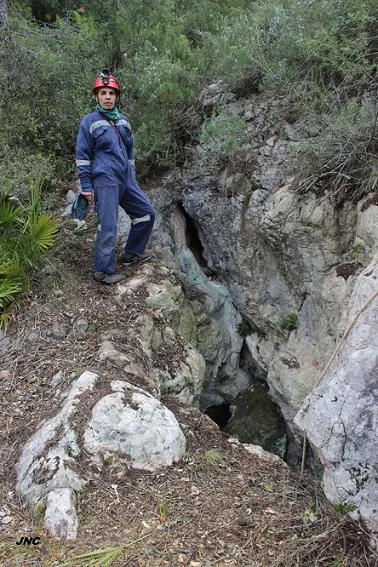
Avenc de les Ventoses
Petit avenc de 7 metres de fondària a Aiguaviva (Montmell).
EspeleoWorld
Avenc de les Ventoses
Petit avenc de 7 metres de fondària a Aiguaviva (Montmell).
Montmell, El · Baix Penedès
Length: 17 m · Depth: 7 m
Updated record
https://espeleoworld.com/en/c/avenc-de-les-ventoses
Information can change. Always verify coordinates, access, weather, and cave conditions before setting out.
Small pit 7 metres deep at Aiguaviva (Montmell), explored by the GET de Vilanova i la Geltrú and surveyed by the SIRE-UEC de Gràcia in 1969.
Topographic
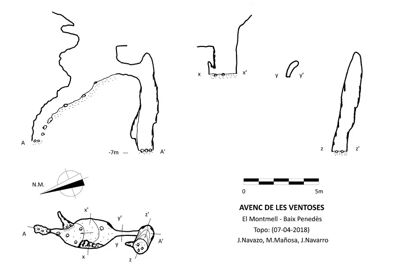

Espeleoindex · CC BY-NC 4.0, https://creativecommons.org/licenses/by-nc/4.0/ · Image © its author.
Photos

Espeleoindex · CC BY-NC 4.0, https://creativecommons.org/licenses/by-nc/4.0/ · Image © its author.
Description
Morphology
The 2.6x1m entrance with NNE-SSW orientation gives access by means of a 1.8m drop to a ramp-like diaclase of blocks and earth, whose walls are covered at some points with decalcified flowstone.
The diaclase has 2 independent continuations at opposite ends.
The continuation located at the NNE (according to the discoverers Via de la Cabra) was cleared and descends approximately some 3m through a narrow laminator.
The continuation located at the SSW (according to the discoverers Via dels Conills) is done through a 2m crawl that connects with a concretion-covered shaft of -5m, where the maximum depth of the cavity is reached.
History
Explored during the second half of the nineteen-sixties of the last century by the GET de Vilanova i la Geltrú. In 1969 the SIRE-UEC de Gràcia explored it again and surveyed it.
In April 2018 Jordi Navarro and Montse Mañosa (Centre Excursionista Castellar) relocated it and carried out the documentation work to include it in the Catàleg Espeleològic de Catalunya (2023).
User Comments (0)
No comments yet.
Be the first to share your experience!
Registered Explorations (0)
No explorations registered yet.
Register your visit to this cave!
Bibliography
- GE Talaia. (1968).-”Avenc de les Ventoses”. Soterrània (1):24-25. GET. Vilanova i la Geltrú.
- Lagar, Àngel (1972).-”Cavidades de Aiguaviva”. Senderos (166):12-18. UEC. Barcelona.
- Virella i Bloda, Joan (1978).-”Experiències a l'entorn de la localització d'Estacions Prehistòriques”. Miscel.lania Penedesenca (1):241-269.
- Valles, Jordi de (2023).-”Alt Penedès, Baix Penedès, Garraf, Tarragonès”. Catàleg Espeleològic de Catalunya (Vol.7):508 pp. Espeleo Club Muntanyenc Barcelonès / Federació Catalana d'Espeleologia. Barcelona.
- Original fitxa i fotografies facilitades per Jordi Navarro i Montse Mañosa (Centre Excursionista de Castellar del Vallès).
Nearby caves
Cova de l'Olla
0.5 km · W
Montmell, El (Baix Penedès)
1 topo.4 photos
Avenc de Pallerets
1.0 km · W
Montmell, El (Baix Penedès)
3 topo.11 photos
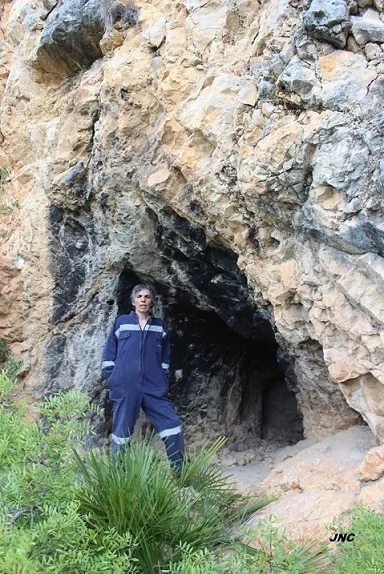
Cova del Fondo de la Curra
1.1 km · SE
Montmell, El (Baix Penedès)
1 topo.4 photos
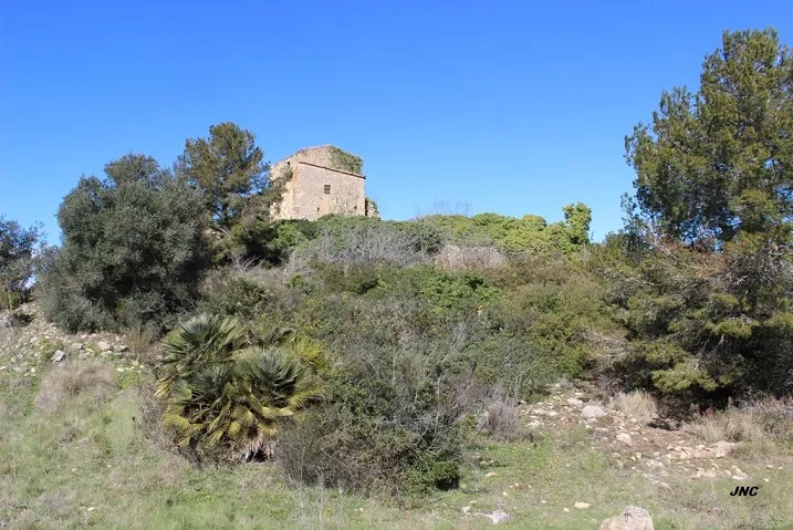
Cova de les Ventoses
1.4 km · E
Montmell, El (Baix Penedès)
1 topo.4 photos
Source: Espeleoindex (espeleoindex.com), modified. CC BY-NC 4.0, https://creativecommons.org/licenses/by-nc/4.0/