
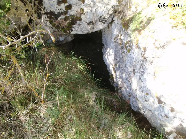
Avenc de la Ginebra
Avenc de 30 metres de fondària al NO dels Prats de Carreu,(Coll de Nargó).
EspeleoWorld
Avenc de la Ginebra
Avenc de 30 metres de fondària al NO dels Prats de Carreu,(Coll de Nargó).
Coll de Nargó · Alt Urgell
Length: 47 m · Depth: 30 m
Updated record
https://espeleoworld.com/en/c/avenc-de-la-ginebra
Information can change. Always verify coordinates, access, weather, and cave conditions before setting out.
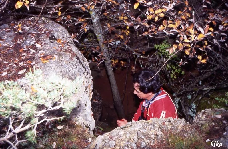
A 30-metre-deep pit in the NW of the Prats de Carreu (Coll de Nargó), located 46 metres in direction E25N from the avenc dels Rocs de l'Esteve.
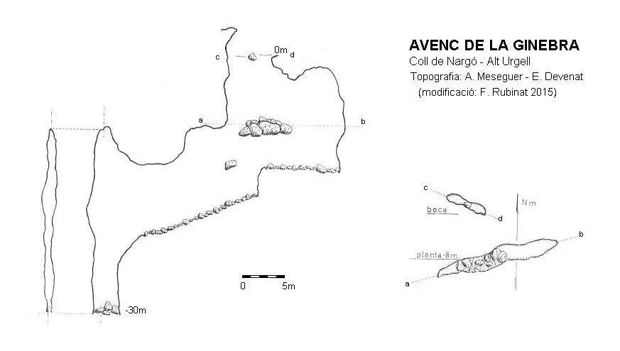
Topographic

Espeleoindex · CC BY-NC 4.0, https://creativecommons.org/licenses/by-nc/4.0/ · Image © its author.
Photos

Espeleoindex · CC BY-NC 4.0, https://creativecommons.org/licenses/by-nc/4.0/ · Image © its author.
Description
Morphology
It is an E-W trending joint, with a maximum width of one and a half metres. The entrance is divided in two by a wedged block. At -8 metres depth a block divides the pit in two; from -13 metres a descending ramp begins and a small final pit, which reaches -30 metres depth.
History
The first news we have of the exploration of the cavity is that it was carried out in 1968 by members of the SAS de Centre Gimnàstic Barcelonès.
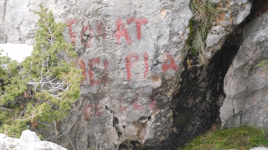
In 1993 it is located again by the ERE del CEC, although these, thinking that it was a new cavity, wrongly name it avenc de Cal Magí, we suppose because this farmhouse is the closest to the cavity. Already in 2015, this name of Cal Magí painted at the entrance had practically disappeared, being totally illegible.
User Comments (0)
No comments yet.
Be the first to share your experience!
Registered Explorations (0)
No explorations registered yet.
Register your visit to this cave!
Bibliography
- Borràs, J.; Miñarro, J.M.;Talavera, F.(1978).-”alt Urgell i la Cerdanya”. Catàleg Espeleològic de Catalunya (vol.1):72. Ed. Políglota.
- Devenat, E.(1968).-”Reanudación de la serie de exploraciones en el macizo del Boumort”. Circular CGB 2ª època (8):11.
- Valles, Jordi de (2008).-”Alt Urgell, Noguera, Pla d'Urgell, Segarra, Solsonès, Urgell”. Catàleg Espeleològic de Catalunya (vol.2):1-384. ECG/FCE.
- Coordenades i fotografies facilitades per Alfred Montserrat (ERE-CEC) i l'equip d'espeleoíndex.
- Fitxa actualitzada l'abril de 2020 , topografia facilitada per Toni Inglès (ERE-CEC).
Nearby caves
Escletxa de Cal Roi
0.0 km · SW
Coll de Nargó (Alt Urgell)
1 topo.2 photos
Avenc dels Rocs de l'esteve
0.0 km · SW
Coll de Nargó (Alt Urgell)
1 topo.12 photos
Forat dels Coms
1.0 km · W
Abella de la Conca (Pallars Jussà)
1 topo.5 photos
Forat del Pla de Calama
1.0 km · N
Coll de Nargó (Alt Urgell)
1 topo.3 photos
Source: Espeleoindex (espeleoindex.com), modified. CC BY-NC 4.0, https://creativecommons.org/licenses/by-nc/4.0/