
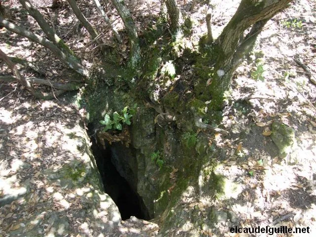
Avenc de la Caseta dels Plans
Petita cova-avenc de 44 m. de recorregut a Gallifa
EspeleoWorld
Avenc de la Caseta dels Plans
Petita cova-avenc de 44 m. de recorregut a Gallifa
Gallifa · Vallès Occidental
Length: 44 m · Depth: 6 m
Updated record
https://espeleoworld.com/en/c/avenc-de-la-caseta-dels-plans
Information can change. Always verify coordinates, access, weather, and cave conditions before setting out.
Small pit cave with a 44 m passage in Gallifa, known since ancient times and used as a refuge during the civil war.
Topographic
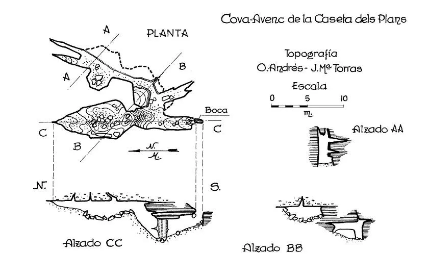
Espeleoindex · CC BY-NC 4.0, https://creativecommons.org/licenses/by-nc/4.0/ · Image © its author.
Photos
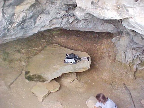
Espeleoindex · CC BY-NC 4.0, https://creativecommons.org/licenses/by-nc/4.0/ · Image © its author.
Description
Morphology
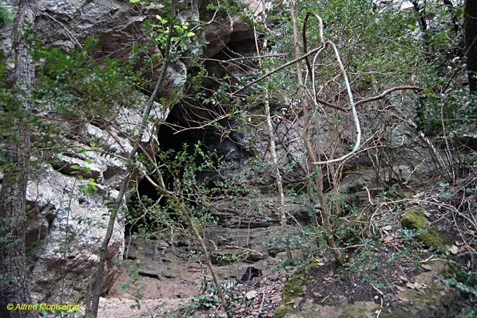
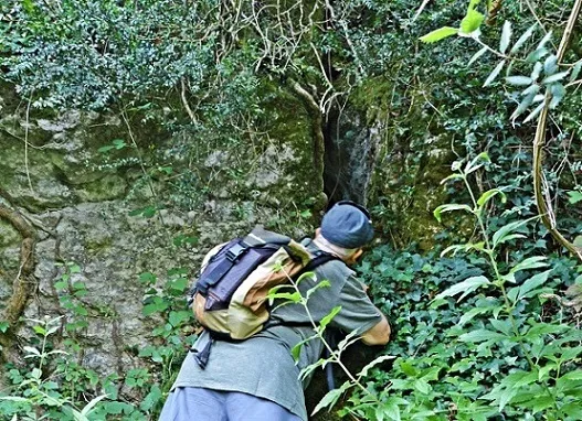
Cavity structured in large collapse blocks along two axes. Access is through a narrow entrance of 1 x 0.4 metres. This step leads us to a wide gallery about 9 metres long. From here we find a distribution chamber: on our right a narrow gallery leaves that widens under the interstices left by a large fallen block, and which finally ends up bifurcating and narrowing. On our left we must overcome a flowstone step about 3 metres high that leads to a second chamber, wide and about 10 metres long, where the cave ends.
Progression
The entrance of 1 x 0.4 metres can be descended without ropes thanks to the stones placed artificially.
History
Known for a very long time by the people of the area, it had been used as a refuge during the civil war.
Practically unknown to speleologists, except for a reference in the maps of Editorial Alpina, probably provided by members of the GES – CMB who visited it in March 1963.
It has probably received visits on other occasions but we have no record of them, except for those carried out by members of the SIS – CET between 1999 and 2008.
We update the record (February 2016) with the incorporation of the survey carried out by O. Andrés and J.Mª Torras (GES – CMB) in March 1963 and which had remained unpublished until now.
User Comments (0)
No comments yet.
Be the first to share your experience!
Registered Explorations (0)
No explorations registered yet.
Register your visit to this cave!
Bibliography
· Cavitat sense una bibliografia específica coneguda.
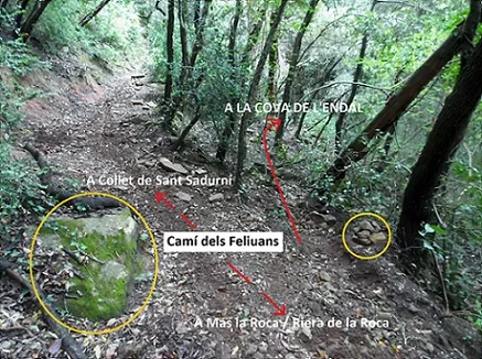
Tan sols trobarem dades concretes al blog: elcaudelguille.net (apartat de rutes), d'on hem extret la major part de dades.
· Coordenades facilitades expressament per Jordi Guillemot (SIS-CET).
Nearby caves


Source: Espeleoindex (espeleoindex.com), modified. CC BY-NC 4.0, https://creativecommons.org/licenses/by-nc/4.0/