
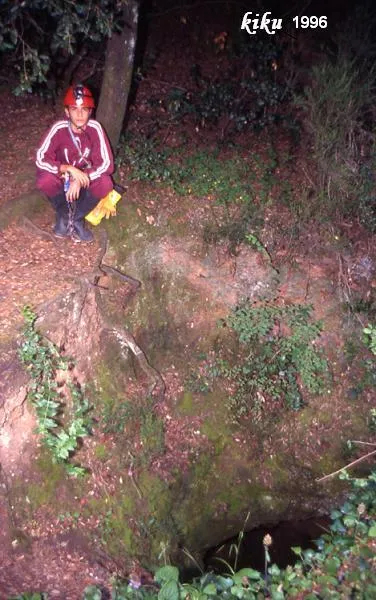
Avenc de la Carbonera
Interessant avenc de 80 m. de fondària a Sant Llorenç del Munt.
EspeleoWorld
Avenc de la Carbonera
Interessant avenc de 80 m. de fondària a Sant Llorenç del Munt.
Castellar del Vallès · Vallès Occidental
Length: 170 m · Depth: 80 m
Updated record
https://espeleoworld.com/en/c/avenc-de-la-carbonera-castellar-del-valles
Information can change. Always verify coordinates, access, weather, and cave conditions before setting out.
An 80 m deep pit in Sant Llorenç del Munt, discovered in 1966 by a charcoal burner from Castellar del Vallès.
Topographic
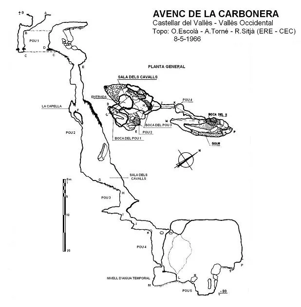

Espeleoindex · CC BY-NC 4.0, https://creativecommons.org/licenses/by-nc/4.0/ · Image © its author.
Photos

Espeleoindex · CC BY-NC 4.0, https://creativecommons.org/licenses/by-nc/4.0/ · Image © its author.
Description
Morphology
The entrance opens at the bottom of a depression about 3 metres in diameter formed by the old charcoal burner enlarged when the thickness of earth and detritus at the bottom collapsed. An opening of 2 x 1 metre allows access to a small chamber occupied by clay and earth dragged in from the surface. At one end opens the entrance of the first pit, 5 metres deep, of elongated section and structured on an E30N-O30S joint, enlarged towards the S side mainly by a developed clastic process. Its base forms a ramp to the entrance of the second pit, 32 metres deep. Down it one descends 13 metres to a side chamber (La Capella) and from this point the pit notably widens its section and the cavity becomes structured on an N-S megajoint. At the bottom of the pit one reaches the Sala dels Cavalls, where it takes on notable proportions (12 x 6 x 15 m.). The floor, on a ramp occupied by small detritus, leads to the entrance of the third pit, 6 metres deep and which can also be descended by a side gallery 7 metres long.
A descent of 2 metres more allows access to a gallery of reduced section that, after another step, reaches the entrance of the fourth pit, 9 metres deep. A short ramp leads out into the final chamber (15 x 5 x 20 m.), in the floor of which opens the entrance of the fifth and last pit, 5 metres deep and the bottom of which constitutes the point of maximum depth of the cavity.
The final chamber is divided by a large elongated block into a lower part constituted by the aforementioned pit and a gallery of 9 metres that leads to a low point choked by clay. A short gallery between the wall and the central block allows a “ramonage” up to the upper side of the block and of the chamber itself.
Speleothems
At the bottom of the second pit, walls covered with concretion in the form of typical hemispheres attached to the nodules. At the W end of the Sala dels Cavalls there is a notable stalagmitic flow of very white concretion.
Hydrology
Down the fourth pit a small quantity of water usually descends. Two metres above the low point choked by clay a temporary water level is observed. On the upper side of the block and of the chamber itself there is a water deposit about 6 metres long, 1.5 wide and 1.5 deep. Still 3 metres higher, another temporary water level is observed located 10 metres above the fifth pit.
Progression
An opening of 2 x 1 metre allows access to a small chamber. At one end opens the entrance of the first pit, 5 metres deep. Its base forms a ramp to the entrance of the second pit, 32 metres deep. Down it one descends 13 metres to a side chamber (La Capella). At the bottom of the pit one reaches the Sala dels Cavalls. The floor, on a ramp, leads to the entrance of the third pit, 6 metres deep and which can also be descended by a side gallery 7 metres long. A descent of 2 metres more allows access to a gallery of reduced section that, after another step, reaches the entrance of the fourth pit, 9 metres deep. A short ramp leads out into the final chamber (15 x 5 x 20 m.), in the floor of which opens the entrance of the fifth and last pit, 5 metres deep and the bottom of which constitutes the point of maximum depth of the cavity. A short gallery between the wall and the central block allows a “ramonage” up to the upper side of the block and of the chamber itself.
History
Discovered in the early part of 1966 by a charcoal burner from Castellar del Vallès when, on going to prepare a charcoal burner used in previous years, he noticed that the bottom of the basin had collapsed while observing a small hole. He gave notice to Joan Estella (“Bambi”), at that time speleology officer of the SAM of the Centre Excursionista de Terrassa, who, with other companions (A. Palau and M. Garcia) enlarged the original opening and were able to descend to about 15 metres deep. This happened on 10 March 1966. The night of that same day, they themselves returned to the pit, reaching the point of maximum depth.
On 16 and 17 April 1966 another group from the CET made a partial descent into the cavity.
The speleologists from Terrassa got in contact with members of the ERE of the CEC and on 7 and 8 May 1966, accompanied by a numerous group of members of the CET, they made a meticulous exploration of the pit, discovering the hanging corners of the final chamber. Likewise, the topographic survey of the cavity was carried out.
Bio
Coleoptera: Speophilus kiesenwetteri Dieck (O. Escolà, 8-5-1966).
User Comments (0)
No comments yet.
Be the first to share your experience!
Registered Explorations (0)
No explorations registered yet.
Register your visit to this cave!
Bibliography
- Escolà, O. (1967).- “Nueva sima en el macizo de Sant Llorenç del Munt: Avenc de la Carbonera” Montaña (110-111-112): 378-383 CEC / També a: Espeleòleg (1): 25-29. (1966). ERE del CEC.
- GES-CMB (1974).- Catálogo espeleológico de la provincia de Barcelona. 198 pp. Club Montañés Barcelonés /Diputación Provincial de Barcelona.
- SIS – CET (1990).- 1969-1989. 20 anys de la Secció d'Investigacions Subterrànies del Centre Excursionista de Terrassa. SIS del CET: 77 pp. Terrassa.
Nearby caves
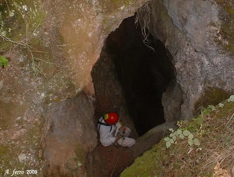
Avenc del Boscater
0.2 km · S
Castellar del Vallès (Vallès Occidental)
1 topo.2 photos
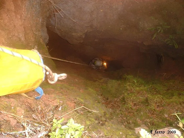
Avenc del Sot del Muronell
0.3 km · SE
Castellar del Vallès (Vallès Occidental)
1 topo.4 photos
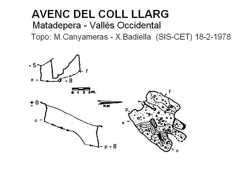
Avenc del Coll Llarg
0.3 km · W
Matadepera (Vallès Occidental)
1 topo.
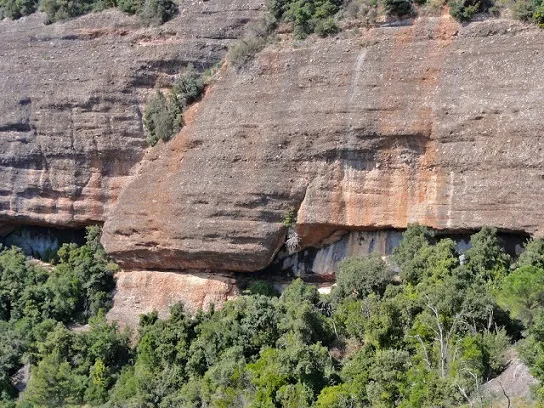
Balma del Sot de la Carda
0.6 km · W
Castellar del Vallès (Vallès Occidental)
2 photos
Source: Espeleoindex (espeleoindex.com), modified. CC BY-NC 4.0, https://creativecommons.org/licenses/by-nc/4.0/