
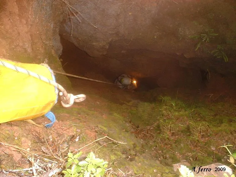
Avenc del Sot del Muronell
Avenc de 22 m. de fondària a Castellar del Vallès
EspeleoWorld
Avenc del Sot del Muronell
Avenc de 22 m. de fondària a Castellar del Vallès
Castellar del Vallès · Vallès Occidental
Length: 35 m · Depth: 22 m
Updated record
https://espeleoworld.com/en/c/avenc-del-sot-del-muronell
Information can change. Always verify coordinates, access, weather, and cave conditions before setting out.
A 22 m deep pit in Castellar del Vallès, on the right-hand slope of the Sot del Muronell, with a single inclined shaft and galleries and chimneys at its base.
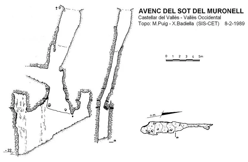
Topographic

Espeleoindex · CC BY-NC 4.0, https://creativecommons.org/licenses/by-nc/4.0/ · Image © its author.
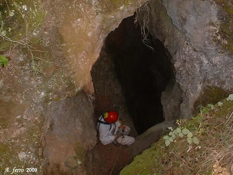
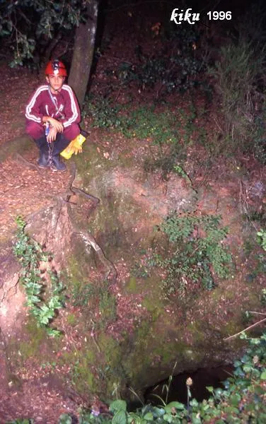
Photos

Espeleoindex · CC BY-NC 4.0, https://creativecommons.org/licenses/by-nc/4.0/ · Image © its author.
Description
Morphology
The pit consists of a single shaft, slightly inclined for the first 15 metres until it becomes vertical in the last 5 metres. The 2.3 x 1.8 metre entrance is very earthy (which guarantees a rain of sand and stones for the visitor), and the first section of the shaft narrows, taking the form of a fissure 2 x 0.7 metres wide at its middle part. At – 10 we find a gallery running S30W that becomes impassable after 3 metres. We continue descending and at – 15 a large half-detached slab narrows the shaft, with a couple of blocks wedged in it. Past the slab the shaft becomes more vertical and wider until reaching its base.
The floor of the shaft is formed by a gallery 12 metres long with a strong slope towards the S, where we reach the maximum depth of the pit. To the N of this gallery, climbing the ramp that narrows to 0.4 metres, we find a chimney 4 metres high. Towards the S the gallery is wider, almost 2 metres, and also has a chimney that climbs 9 metres and is quite heavily concreted.
The cavity is structured along a N10E joint and another in a N30E direction, that is, within the main fracturing system of the massif.
Between the levels – 12 and – 15 there are a series of sandstone strata which, affected by the two joints, have caused the detachment of the slab in mid-shaft.
Speleothems
At present infiltration occurs at two points; one in the 9 metre chimney, and the other in the shaft at the level of the slab; in both cases some concretions have formed, quite white at the start but already more earthy at the level of the floor.
Hydrology
Only in times of heavy rain does half a metre of the bottom of the pit become flooded.
History
We do not know when the cavity was first explored. It does not appear in the catalogue of Sant Llorenç – Obac by F. Termes (1951). We have evidence of an exploration in April 1958 by members of the GES-CMB, which very possibly was the first. Years later it already appeared located on the maps of Editorial Alpina. A little-visited cavity due to its difficult location.
User Comments (0)
No comments yet.
Be the first to share your experience!
Registered Explorations (0)
No explorations registered yet.
Register your visit to this cave!
Bibliography
- GES-CMB (1974).- Catálogo espeleológico de la provincia de Barcelona. 198 pp. Club Montañés Barcelonés /Diputación Provincial de Barcelona.
- Puig,M; Badiella,E. (1989).- “L'avenc del Sot del Muronell” Arxiu del Centre Excursionista de Terrassa (59-62): 441-443. CE Terrassa.
- fotos 'JNC' facilitades per Jordi Navarro, (Centre Excursionista de Castellar del Vallès).
Nearby caves
Avenc del Boscater
0.2 km · W
Castellar del Vallès (Vallès Occidental)
1 topo.2 photos
Avenc de la Carbonera
0.3 km · NW
Castellar del Vallès (Vallès Occidental)
1 topo.12 photos
Avenc del Sot de la Carda
0.4 km · S
Castellar del Vallès (Vallès Occidental)
1 topo.2 photos
Avenc del Lledoner
0.4 km · SE
Castellar del Vallès (Vallès Occidental)
1 topo.
Source: Espeleoindex (espeleoindex.com), modified. CC BY-NC 4.0, https://creativecommons.org/licenses/by-nc/4.0/