
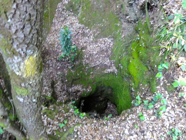
Avenc de la Barbotera
Avenc de 118 m. de recorregut relacionat amb la font de la Barbotera (Serra de l'Obac)
EspeleoWorld
Avenc de la Barbotera
Avenc de 118 m. de recorregut relacionat amb la font de la Barbotera (Serra de l'Obac)
Rellinars · Vallès Occidental
Length: 118 m · Depth: 18 m
Updated record
https://espeleoworld.com/en/c/avenc-de-la-barbotera
Information can change. Always verify coordinates, access, weather, and cave conditions before setting out.
A 118 m long pit related to the font de la Barbotera, in the Serra de l'Obac.
Topographic
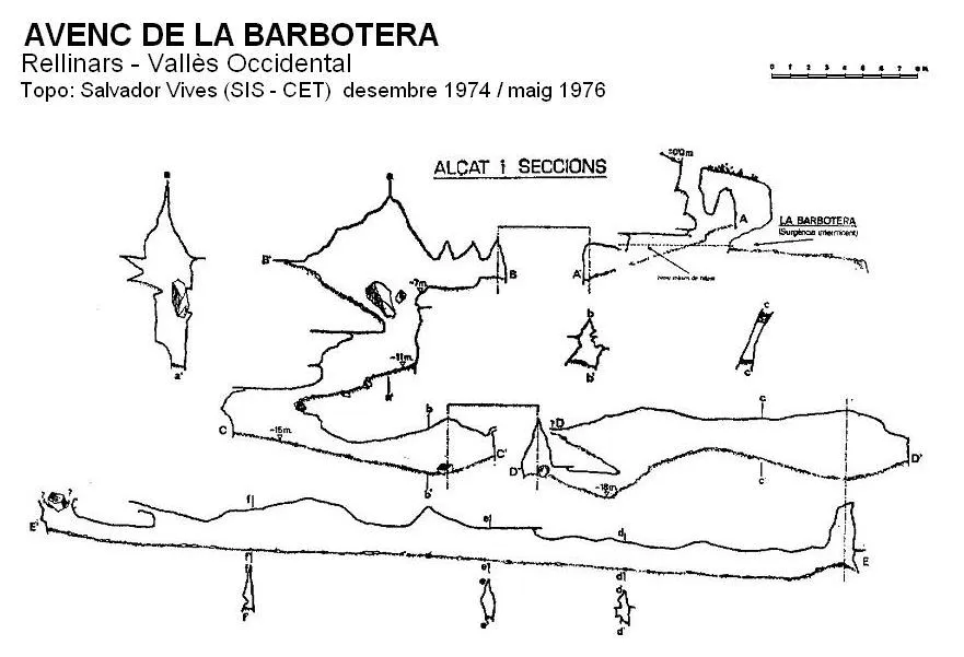

Espeleoindex · CC BY-NC 4.0, https://creativecommons.org/licenses/by-nc/4.0/ · Image © its author.
Photos

Espeleoindex · CC BY-NC 4.0, https://creativecommons.org/licenses/by-nc/4.0/ · Image © its author.
Description
Morphology
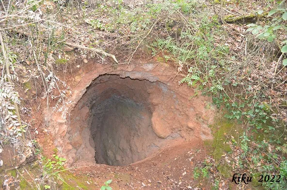
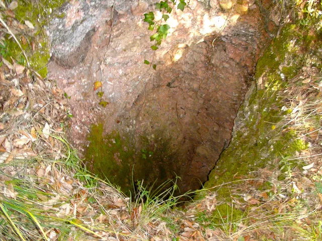
A pit 4.5 metres deep, with some ledges, leads to a gallery 6.5 metres long, with a low roof at first and somewhat higher towards the end, where it turns sharply to the left at an angle of almost 90º and leads to a small chamber 6 x 3 metres with a maximum height of 5 metres. From this same chamber we will descend a vertical drop of 4.5 metres that gives onto a very narrow passage where there is another drop. Then we will follow a very narrow gallery in the opposite direction from where we came. On reaching another small chamber, behind a block there is a gallery with a floor covered in cobbles. Once the sump has been passed we will reach a gallery and, at the end of it — which forms a small chamber —, at an almost right angle, a gallery 43 metres long opens to the right, very narrow and of variable height between 1.5 and 3.5 metres. At the end of the gallery two very small passages make progression impossible. The other known survey, that of the GEB, gives a slightly shorter length: 105 metres and a depth of 19 metres.
Hydrology
At this point there is a small sump which very often can be found flooded. This last gallery is the main water supply conduit of the cavity.
Progression
A pit 4.5 metres deep, with some ledges, leads to a gallery 6.5 metres long. From this same chamber we will descend a vertical drop of 4.5 metres that gives onto a very narrow passage where there is another drop. Then we will follow a very narrow gallery in the opposite direction from where we came. Once the sump has been passed we will reach a gallery. At the end of the gallery two very small passages make progression impossible.
History
The first exploration took place on 19 October 1919 by members of the Centre Excursionista de Terrassa and it seems that a survey was already carried out there.
User Comments (0)
No comments yet.
Be the first to share your experience!
Registered Explorations (0)
No explorations registered yet.
Register your visit to this cave!
Bibliography
- Anglès, Marc; Monterde, Eva (2004).- “Dinàmica càrstica a la vessant sud-oest del massís de Sant Llorenç del Munt i serra de l'Obac”. Actes del 1er. Congrés Català d'Espeleologia: 135-144. Federació Catalana d'Espeleologia. Barcelona.
- Anglès, Marc; Monterde, Eva (2007).- “Les surgències del vessant sud-oest del massís de Sant Llorenç del Munt i serra de l'Obac”. Arxiu del Centre Excursionista de Terrassa (113): 199-212. Terrassa.
- Cardona, F.; Miret, F.; Salvador, F. (1979).- “Las surgencias del 'Torrent de la Saiola' (Serra de l'Obac)”. Cavernas (21): 3-43. Grup d'Espeleologia de Badalona.
- Freixes, A.; Monterde, M.; Cervelló, J Mª (1983).- “El paleocarst i el carst actual de les serres de Sant Llorenç del Munt de l'Obac. El carst experimental de Rellinars”. 57 pp. Espeleo Club de la Unió Excursionista de Sabadell.
- Vives, Salvador (1978).- “Les fonts intermitents de la Serra de l'Obac”. SIS (6): 12-26/Arxiu del Centre Excursionista de Terrassa (16): 580-594. Terrassa.
- Fotografia extreta del blog: trailsantllorenc (de Lluís R. Hernández, de Matadepera)
Nearby caves
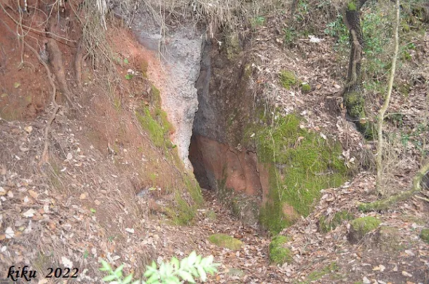
la Barbotera
0.0 km · W
Rellinars (Vallès Occidental)
1 topo.3 photos
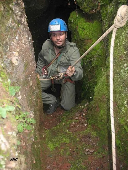
Avenc de l'Endaló
0.3 km · NE
Rellinars (Vallès Occidental)
2 topo.3 photos
la Pedregosa
0.3 km · S
Rellinars (Vallès Occidental)
2 topo.5 photos
Avenc de les Roquisses
0.3 km · SE
Rellinars (Vallès Occidental)
1 topo.1 photos
Source: Espeleoindex (espeleoindex.com), modified. CC BY-NC 4.0, https://creativecommons.org/licenses/by-nc/4.0/