

Avenc de Coll Balaguer
A 39-metre-deep pit at l'Hospitalet de l'Infant, explored in May 1963 by Josep Castell and his group from GES – CMB.
EspeleoWorld
Avenc de Coll Balaguer
A 39-metre-deep pit at l'Hospitalet de l'Infant, explored in May 1963 by Josep Castell and his group from GES – CMB.
Vandellòs i l'Hospitalet de l'Infant · Baix Camp
Length: 115 m · Depth: 39 m
Updated record
https://espeleoworld.com/en/c/avenc-de-coll-balaguer
Information can change. Always verify coordinates, access, weather, and cave conditions before setting out.
A 39-metre-deep pit at l'Hospitalet de l'Infant, explored in May 1963 by Josep Castell and his group from GES – CMB.
Topographic


Espeleoindex · CC BY-NC 4.0, https://creativecommons.org/licenses/by-nc/4.0/ · Image © its author.
Photos

Espeleoindex · CC BY-NC 4.0, https://creativecommons.org/licenses/by-nc/4.0/ · Image © its author.
Description
Morphology
A fissure with a general N-S direction presents a first vertical drop of -10 metres, where it divides into two branches; the southern one forms a pit that descends to -22 metres from the surface, among a large quantity of blocks embedded in the walls. On the S side, the cavity descends as a ramp of blocks until reaching the entrance to the second part, formed by a narrow pit of about 6 metres, followed by a new pit of 9 metres; at the base and on the S side, there is a very narrow impassable passage. On the N side, a new pit of 9 metres places us at the bottom of the cavity. This whole sector is extraordinarily divided by a large number of blocks that even form a false lateral route with many protrusions.
Speleothems
The walls are heavily covered in concretions.
Progression
The narrowness of the pit and the fact that the walls are heavily covered in concretions greatly limit passage. Equipment: two metres above the entrance there are 1 parabolt (M10) and 2 parabolts (M8) at the first pit; the following pits are rigged on naturals and at the final pit there is another parabolt (M-8).
History
The first exploration took place in May 1963 by Josep Castell and his group, who at that time belonged to GES – CMB. In September of the same year they returned and explored what they called Via lateral. They returned again in April of the following year and during 1965, already as members of ERE – CEC, they went several times to do the survey. The one we include is the original version of the tracing found again in the ERE archive and which had been published, in a redrawn version, in volume 7 of the Catàleg (1984). Castell was a perfectionist and the completion of the surveys dragged on over time. During this period they carried out a great many explorations in the area of the Vandellòs mountains, mostly small cavities, of which unfortunately we have very little data and some of which we have even lost track of. The rediscovery of the cavity has been possible thanks to our friend Floren Fadrique, who has known it for more than 30 years and acted as our guide so that we could position it correctly.
Bio
Coleoptera: Paranillochlamys velox Zariquiey 1940 (data provided by F. Fadrique, BIOSP).
User Comments (0)
No comments yet.
Be the first to share your experience!
Registered Explorations (0)
No explorations registered yet.
Register your visit to this cave!
Bibliography
- Altimira, C.(1970).-”Moluscos y conchas recogidas en cavidades subterráneas”. Speleon (17):65-75. CE Catalunya. Barcelona.
- Borràs, J.; Miñarro, JM.; Talavera, F. (1984).- “el baix camp, el priorat i la ribera d'ebre”. Catàleg Espeleològic de Catalunya (vol. 7): 109-110 pp. Ed. Políglota. Barcelona.
- Fitxa actualitzada el gener de 2018. Coordenades, dades i fotografies facilitades per Juli Serrano (SIE-CEA) i Francesc Rubinat (ERE-CEC).
Nearby caves

Avenc del Pla dels Albercoquers
1.1 km · E
Vandellòs i l'Hospitalet de l'Infant (Baix Camp)
1 topo.7 photos

Cova del Llop Marí
1.6 km · E
Vandellòs i l'Hospitalet de l'Infant (Baix Camp)
1 topo.8 photos

Cova del Solà del Pep
2.1 km · N
Vandellòs i l'Hospitalet de l'Infant (Baix Camp)
1 topo.9 photos
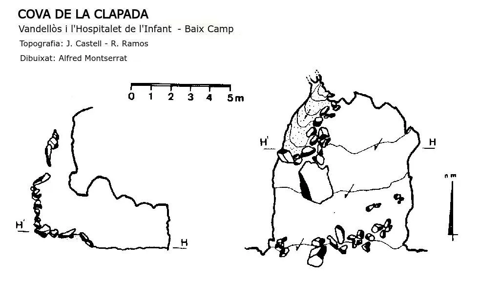
Cova de la Clapada
2.4 km · N
Vandellòs i l'Hospitalet de l'Infant (Baix Camp)
1 topo.
Source: Espeleoindex (espeleoindex.com), modified. CC BY-NC 4.0, https://creativecommons.org/licenses/by-nc/4.0/