
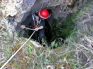
Avenc d'Olèrdola
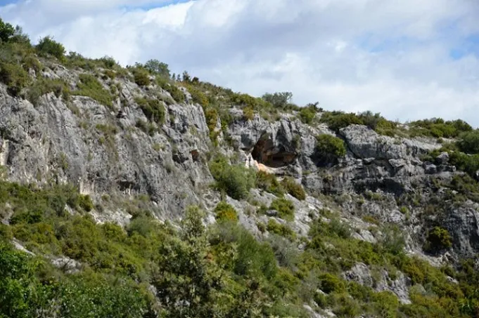
Small pit just over 6 m deep near the castle of Olèrdola (Alt Penedès).
EspeleoWorld
Avenc d'Olèrdola
Small pit just over 6 m deep near the castle of Olèrdola (Alt Penedès).
Olèrdola · Alt Penedès
Length: 12 m · Depth: 6 m
Updated record
https://espeleoworld.com/en/c/avenc-d-olerdola
Information can change. Always verify coordinates, access, weather, and cave conditions before setting out.
Small pit just over 6 m deep near the castle of Olèrdola (Alt Penedès).
Topographic
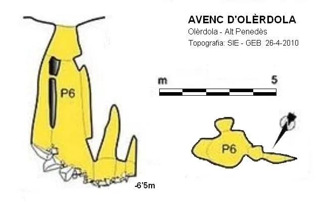
Espeleoindex · CC BY-NC 4.0, https://creativecommons.org/licenses/by-nc/4.0/ · Image © its author.
Photos
Espeleoindex · CC BY-NC 4.0, https://creativecommons.org/licenses/by-nc/4.0/ · Image © its author.
Description
Morphology
Small shaft 6 metres deep at whose base a short gallery begins in a slight slope with two small chimneys.
History
The first exploration took place in February 1951 by Francesc Español and Àngel Lagar during one of their outings for biospeleological purposes. Apparently, for years, the cavity had a second shaft in which it reached a depth of about 12 metres, but during the decade of the 1960s it was obstructed by a series of blocks thrown deliberately from the outside.
Speleologists from Vilafranca renamed it as avenc del Conill and in Vilanova it was known as avenc del Castell, but in both cases after the second shaft was plugged.
We update the record (March 2016) including the topography, until now unpublished, made by Oleguer Escolà at the end of 1963 when the second small shaft still existed and reached 8 metres deep and not 12 as had been said.
Bio
Locality of Troglocharinus variabilis olerdolai, captured by Español and Lagar on 11-2-1951. (Initially it was named Troglocharinus españoli olerdolai; and possibly it will change again, if it has not already done so).
User Comments (0)
No comments yet.
Be the first to share your experience!
Registered Explorations (0)
No explorations registered yet.
Register your visit to this cave!
Bibliography
- Ferrer, A. (1968).- “Les cavitats de Sant Miquel d'Olèrdola” Espeleòleg (7): 275-279. ERE del Centre Excursionista de Catalunya. Barcelona.
- Lagar, A. et al.(1973): “Cavidades del Penedès (5ª nota)” Senderos (178): 9-14. Unió Excursionista de Catalunya. Barcelona.
Topografia i fotos extretes del blog Espeleobloc (29-4-2010).
Nearby caves
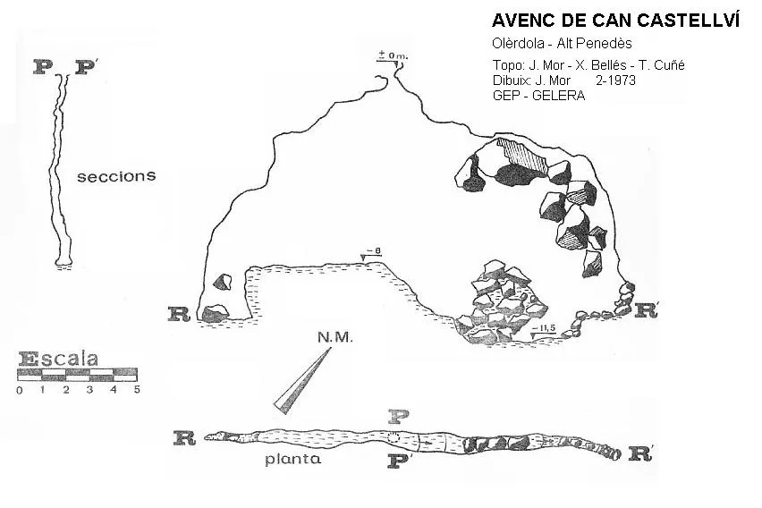


Source: Espeleoindex (espeleoindex.com), modified. CC BY-NC 4.0, https://creativecommons.org/licenses/by-nc/4.0/