
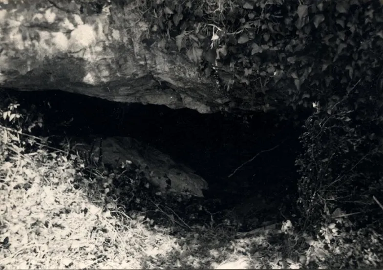
Ullal de Pasqual
Temporary spring in the barranc de la Vall (el Port), known since ancient times and explored in 1968 by the GIE – Club Excursionista de Gràcia.
EspeleoWorld
Ullal de Pasqual
Temporary spring in the barranc de la Vall (el Port), known since ancient times and explored in 1968 by the GIE – Club Excursionista de Gràcia.
Roquetes · Baix Ebre
Sviluppo: 63 m · Profondità: 6 m
Scheda aggiornata
https://espeleoworld.com/it/c/ullal-de-pasqual
Le informazioni possono cambiare. Verifica sempre coordinate, accesso, meteo e condizioni della cavità prima di partire.
Temporary spring in the barranc de la Vall (el Port), known since ancient times and explored in 1968 by the GIE – Club Excursionista de Gràcia.
Topografia
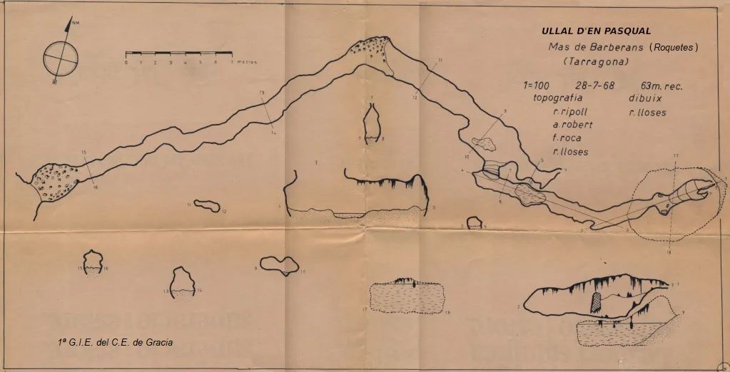
Espeleoindex · CC BY-NC 4.0, https://creativecommons.org/licenses/by-nc/4.0/ · Immagine © del suo autore.
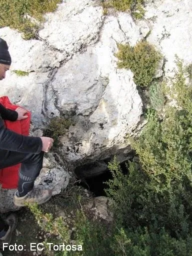
Foto
Espeleoindex · CC BY-NC 4.0, https://creativecommons.org/licenses/by-nc/4.0/ · Immagine © del suo autore.
Descrizione
Morfologia
A low entrance through which one enters a gallery a little more than one metre wide and which continues with a low ceiling. The floor is covered with sediments and small rubble. At about 25 m from the entrance the passage turns some 45º to the right and the ceiling drops further before gaining a little height within a few metres. In this stretch some pools can already be found, and immediately afterwards, via a small ramp-like step, one reaches a lower gallery of larger dimensions and a high ceiling. The final stretch is a small chamber decorated with many speleothems and which climbs a little until it becomes impassable. Below it there is a concavity that is completely flooded.
Concrezioni
The final stretch is a small chamber decorated with many speleothems.
Idrologia
In this stretch some pools can already be found. Below the final small chamber there is a concavity that is completely flooded. These conditions apply in the dry season, but with rainy weather the cavity can become active for a certain time.
Progressione
A low entrance through which one enters a gallery a little more than one metre wide and which continues with a low ceiling. At about 25 m from the entrance the passage turns some 45º to the right and the ceiling drops further before gaining a little height within a few metres. Immediately afterwards, via a small ramp-like step, one reaches a lower gallery of larger dimensions and a high ceiling. The final stretch is a small chamber that climbs a little until it becomes impassable.
Storia
Certainly known to the inhabitants of the area since ancient times. Despite this, it had never been cited in the old speleological catalogues and the first exploration of which we have news was carried out by members of the GIE – Club Excursionista de Gràcia at the end of July 1968.
For the moment we are publishing this “vintage” record while awaiting more recent data and an update.
Commenti degli utenti (0)
Nessun commento ancora.
Sii il primo a condividere la tua esperienza!
Esplorazioni registrate (0)
Nessuna esplorazione registrata.
Registra la tua visita a questa grotta!
Bibliografia
- Robert, A. (1969).- “Resultados de la 1ª Expedición al Mas de Barberans”. Butlletí del Club Excursionista de Gràcia (323): 59-62. Barcelona.
- Topografia (1968) i fotos en blanc i negre facilitades per Toni Robert (GIE del CE Gràcia), fetes durant la primera exploració.
- Revisió de coordenades i fotografies color facilitades per Marcos Carbó "Chusa" (GE Dinàmics, la Ràpita).
Grotte vicine
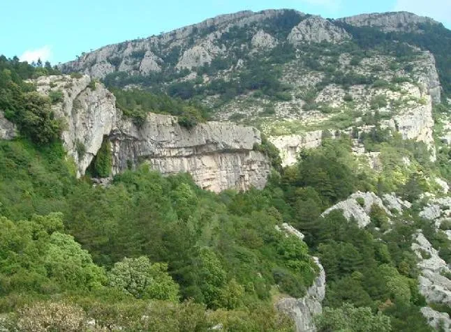
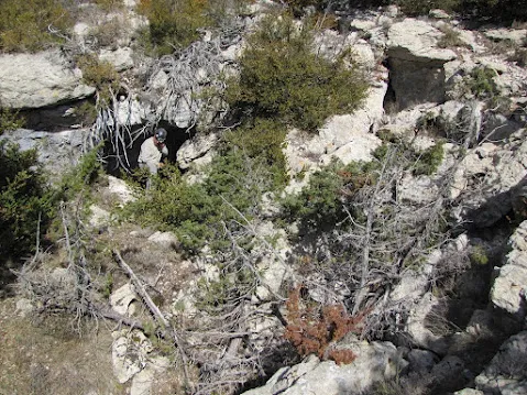


Fonte: Espeleoindex (espeleoindex.com), modificato. CC BY-NC 4.0, https://creativecommons.org/licenses/by-nc/4.0/