
Tut de Fustanyà
Cave with a 22-metre passage in Queralbs.
EspeleoWorld
Tut de Fustanyà
Cave with a 22-metre passage in Queralbs.
Queralbs · Ripollès
Sviluppo: 22 m · Profondità: 1 m
Scheda aggiornata
https://espeleoworld.com/it/c/tut-de-fustanya
Le informazioni possono cambiare. Verifica sempre coordinate, accesso, meteo e condizioni della cavità prima di partire.
Cave with a 22-metre passage in Queralbs.
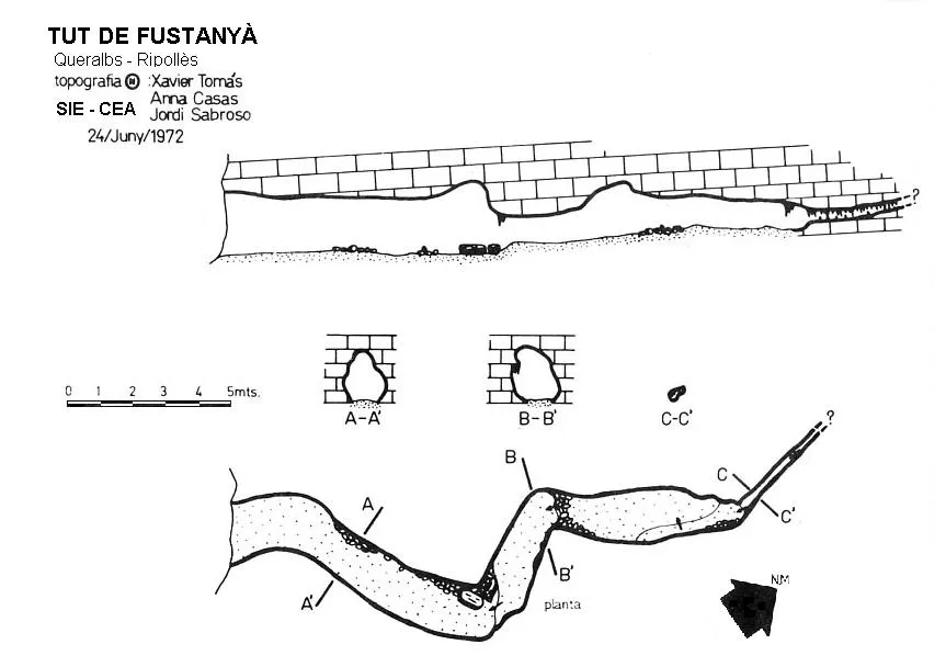
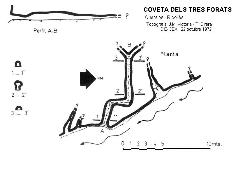
Topografia
Espeleoindex · CC BY-NC 4.0, https://creativecommons.org/licenses/by-nc/4.0/ · Immagine © del suo autore.
Foto
Espeleoindex · CC BY-NC 4.0, https://creativecommons.org/licenses/by-nc/4.0/ · Immagine © del suo autore.
Descrizione
Morfologia
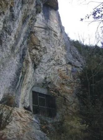
The mouth is closed by a grille with a gate. The cave consists of a single gallery with a 22-metre passage, showing a meandering development, with an average width of 1.5 metres and a height of two metres at its start, which gradually decreases until it becomes impenetrable at the end.
Storia
Known since time immemorial in the area, it has habitually been used by shepherds. Since the decade of the 50s of the 20th century, it has been the subject of study and also of archaeological looting. The first speleological reference dates from 24.25 and 26 January 1953, when it was explored by the GES of the Club Muntanyenc Barcelonès (Andrés, Armengou, Barceló); they carried out the survey but it was never published. In 1960 G. López Pérez carried out a stratigraphic study there which appeared published in 1961, citing the cavity as cova de Can Frustanyà. From 1971 it was visited on various occasions by Eudald Carbonell and Ramon Busquets; the results of these visits appeared published in 1976, where a sketch of the cavity is attached without scale and with North wrongly indicated. On 24 June 1972 it was visited by the SIE of the CE Àliga, carrying out the survey of the cavity; before the end of the decade the cavity would be closed in order to preserve the archaeological site.
Commenti degli utenti (0)
Nessun commento ancora.
Sii il primo a condividere la tua esperienza!
Esplorazioni registrate (0)
Nessuna esplorazione registrata.
Registra la tua visita a questa grotta!
Bibliografia
- AA.(1953).-”Sección de Exploraciones”. Speleon (IV-2):105-108. Oviedo.
- Borràs, J.; Miñarro, JM.; Talavera, F.(1980).-”el Ripollès, la Garrotxa i l'Alt Empordà”. Catàleg Espeleològic de Catalunya. (vol. 4):1-296. Ed. Políglota. Barcelona.
- Canal i Roquer, J.; Soler i Masferrer,N.(1976).-El Paleolític a les comarques Gironines.
- Ripoll,E.(1961).-”Notas de Arqueología de Cataluña y Baleares”. Ampurias (22-23):353-354.
- Sirera i Navia, Antoni; Tomás i Corretgé, Xavier.(1973).-”La cova de Rialb y cavidades cercanas en el valle del Freser”. Comunicacions III Simpòsium Espeleologia. pp.154-178. Agrupació Cientifico-Excursionista de Mataró.
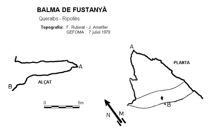
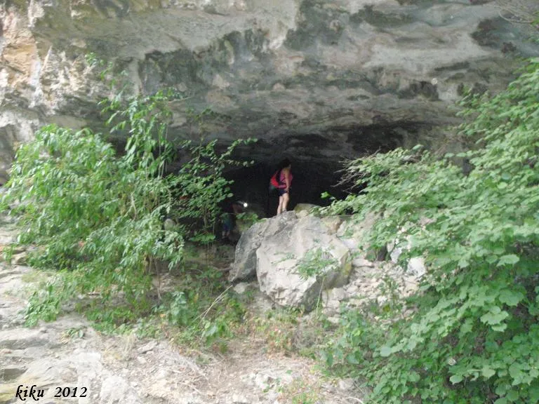
Grotte vicine


Fonte: Espeleoindex (espeleoindex.com), modificato. CC BY-NC 4.0, https://creativecommons.org/licenses/by-nc/4.0/