
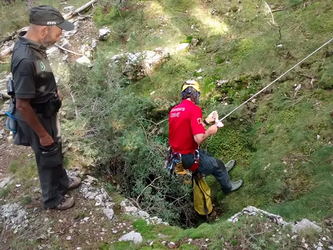
Grallera de l'Obac de Marcús
A 15-metre-deep pit on the mountain of Alinyà (Fígols i Alinyà), a single subcylindrical shaft with a small access funnel.
EspeleoWorld
Grallera de l'Obac de Marcús
A 15-metre-deep pit on the mountain of Alinyà (Fígols i Alinyà), a single subcylindrical shaft with a small access funnel.
Fígols i Alinyà · Alt Urgell
Sviluppo: 18 m · Profondità: 15 m
Scheda aggiornata
https://espeleoworld.com/it/c/grallera-de-l-obac-de-marcus
Le informazioni possono cambiare. Verifica sempre coordinate, accesso, meteo e condizioni della cavità prima di partire.
A 15-metre-deep pit on the mountain of Alinyà (Fígols i Alinyà), a single subcylindrical shaft with a small access funnel.
Topografia

Espeleoindex · CC BY-NC 4.0, https://creativecommons.org/licenses/by-nc/4.0/ · Immagine © del suo autore.
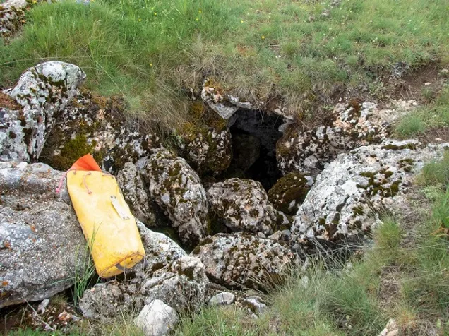
Foto
Espeleoindex · CC BY-NC 4.0, https://creativecommons.org/licenses/by-nc/4.0/ · Immagine © del suo autore.
Descrizione
Morfologia
Preceded by a small funnel of 4 x 1.5 metres, the mouth, at the bottom, measures 1 x 0.5 metres. The dip of the strata, clearly observable here, is 35º to the N10E. The cavity consists of a single subcylindrical pit, with rounded walls, which reaches 15 metres in depth.
It is structured on a single joint, of orientation E15N, and some perpendicular joint is observed that is not reflected in the morphology of the cavity. The section of the pit, minimal at the mouth, enlarges progressively and reaches its maximum width towards the lower third (3 x 1.5 m). The floor, occupied by small-sized blocks, measures 2 metres in diameter. From the -8 level down to the bottom, the E end of the generating joint is filled by lithogenic formation. The walls of the pit (with slight superficial decalcification, as is the concretion) show erosive morphology. In short, it is a simple spindle half-filled by external materials.
Concrezioni
From the -8 level down to the bottom, the E end of the generating joint is filled by lithogenic formation. The walls of the pit show slight superficial decalcification, as does the concretion.
Storia
Within one of the extensions of the Operació Solsonès, members of EDES, EDECA, ERE-CEC and CE Pirenaic explore the cavity for the first time on 1 May 1964.
For many years its exact location became unknown; it is not until September 2018 that, during the search for a lost mushroom picker on the mountain of Alinyà, the colleague Manel Trepat, who as a rural agent accompanied the firefighters, locate the cavity. It is in the municipality of Fígols i Alinyà and not in that of Odèn as it had been catalogued until now, and therefore it also changes comarca, coming to be in the Alt Urgell instead of the Solsonès.
It seems that the correct name of the cavity is that of “grallera”, as with the nearby “grallera de Cambrils”, and not “bòfia” as it had been called.
Commenti degli utenti (0)
Nessun commento ancora.
Sii il primo a condividere la tua esperienza!
Esplorazioni registrate (0)
Nessuna esplorazione registrata.
Registra la tua visita a questa grotta!
Bibliografia
- Escolà, O. (1980).- “Solsonès-3: Grallera de Cambrils i Bòfia de l'Obac de Marcús” Espeleòleg (31): 45-49. ERE-CEC. Barcelona
- Situació, coordenades i fotografia facilitades per Manel Trepat (ERE-CEC)
Grotte vicine
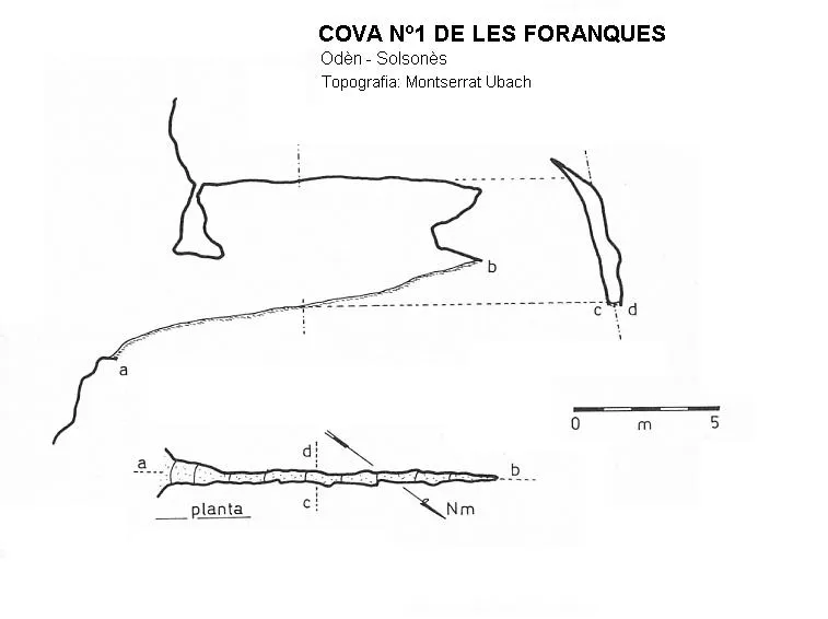


Fonte: Espeleoindex (espeleoindex.com), modificato. CC BY-NC 4.0, https://creativecommons.org/licenses/by-nc/4.0/