
Cova Nº1 les Balçs
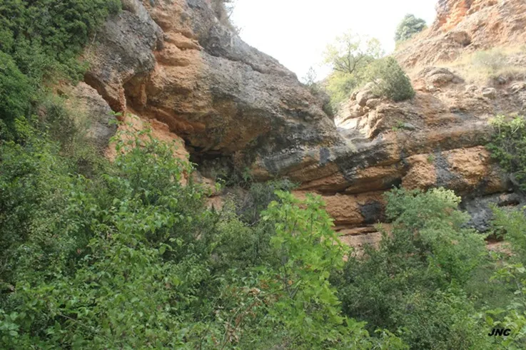
A worked rock shelter in Rivert (Pallars Jussà), beneath a waterfall of the Barranc del Balç, historically known and catalogued in August 2025.
EspeleoWorld
Cova Nº1 les Balçs
A worked rock shelter in Rivert (Pallars Jussà), beneath a waterfall of the Barranc del Balç, historically known and catalogued in August 2025.
Conca de Dalt · Pallars Jussà
Sviluppo: 10 m · Profondità: 1 m
Scheda aggiornata
https://espeleoworld.com/it/c/cova-n-1-les-balcs
Le informazioni possono cambiare. Verifica sempre coordinate, accesso, meteo e condizioni della cavità prima di partire.
A worked rock shelter in Rivert (Pallars Jussà), beneath a waterfall of the Barranc del Balç, historically known and catalogued in August 2025.
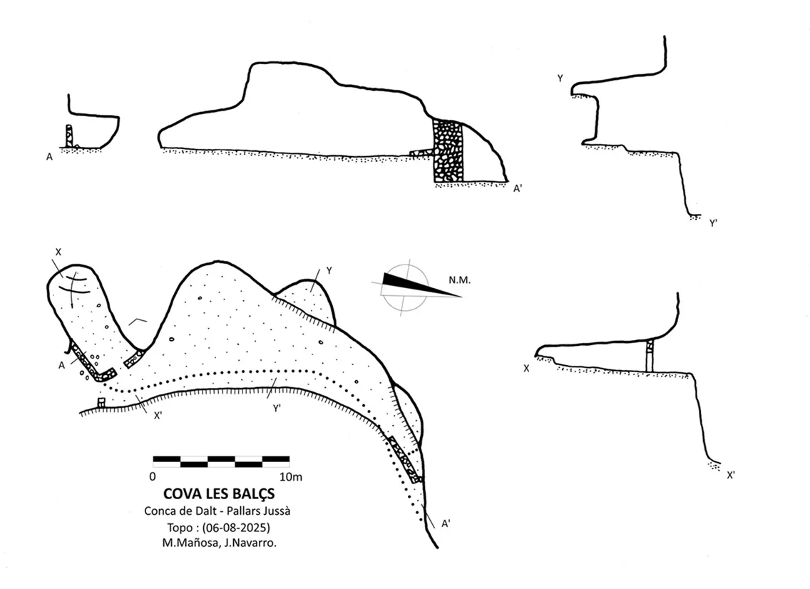
Topografia
Espeleoindex · CC BY-NC 4.0, https://creativecommons.org/licenses/by-nc/4.0/ · Immagine © del suo autore.
Foto
Espeleoindex · CC BY-NC 4.0, https://creativecommons.org/licenses/by-nc/4.0/ · Immagine © del suo autore.
Descrizione
Morfologia
A rock shelter suspended a few metres above the lower bed of the ravine, semicircular in shape, following the erosion forms of the stream.
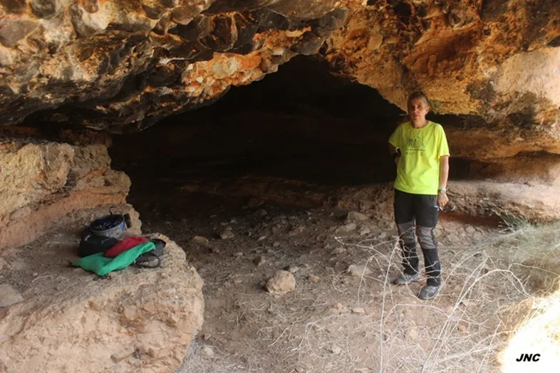
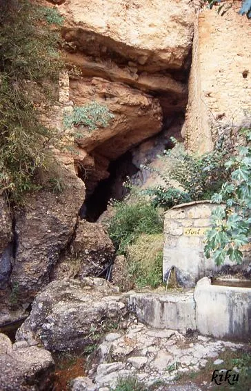
The rock shelter is worked and was historically used. Access is via its southern end, where there is a wall with a door; once inside the rock shelter, a second door gives access to a long room, walled up at one end and completely enclosed. The rock shelter continues northwards with a wide roofed room and with a balcony suspended from the ceiling. At the NE end of the rock shelter there is a wall that closes off access from this end.
Progressione
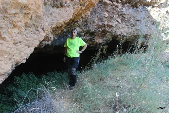
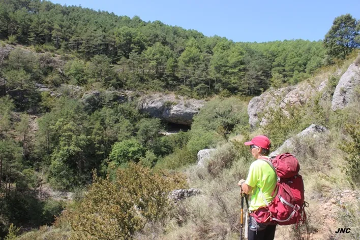
To reach it we will set out from the Font de Rivert, an important spring located in the upper part of the village of Rivert. We will go down the street heading south that skirts the cliffs; in 60m we will reach the last buildings of the village and follow a path that skirts the cliffs in a SW direction. In another 80m we will reach the bed of the Barranc del Balç and a ruined construction beside the path; from the house a faint path sets out that climbs the ravine along its right hydrographic side and in 40m we will reach the entrance door of the cave.
Storia
A worked rock shelter, historically known, which had remained unpublished in speleological catalogues. Referenced on the ICGC map.
In August 2025 members of the Centre Excursionista de Castellar del Vallès visit it and carry out the cataloguing work.
Commenti degli utenti (0)
Nessun commento ancora.
Sii il primo a condividere la tua esperienza!
Esplorazioni registrate (0)
Nessuna esplorazione registrata.
Registra la tua visita a questa grotta!
Bibliografia
Totes les dades, topografia i fotografies han estat facilitades per Jordi Navarro i Montse Mañosa (Centre Excursionista de Castellar del Vallès)
Grotte vicine


Fonte: Espeleoindex (espeleoindex.com), modificato. CC BY-NC 4.0, https://creativecommons.org/licenses/by-nc/4.0/