
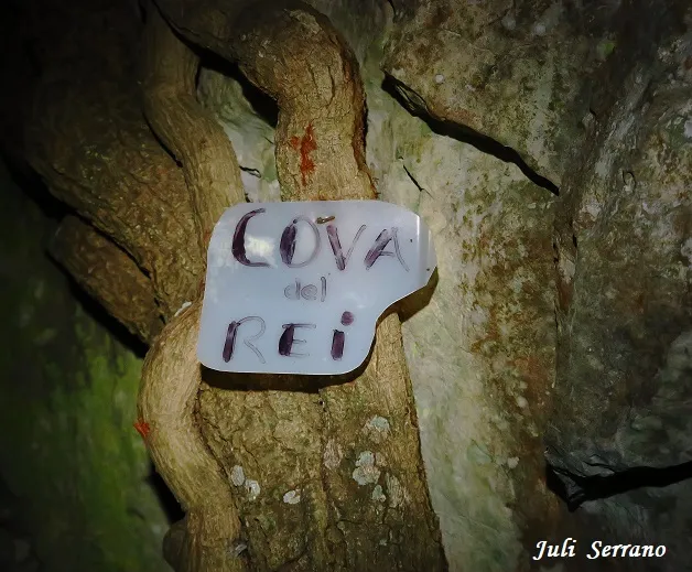
Cova del Rei
A 20 m cave at the Motllats (Capafonts), a single ascending gallery about 8 m wide and 2 m high, with an entrance protected by a dry-stone wall.
EspeleoWorld
Cova del Rei
A 20 m cave at the Motllats (Capafonts), a single ascending gallery about 8 m wide and 2 m high, with an entrance protected by a dry-stone wall.
Capafonts · Baix Camp
Sviluppo: 20 m
Scheda aggiornata
https://espeleoworld.com/it/c/cova-del-rei
Le informazioni possono cambiare. Verifica sempre coordinate, accesso, meteo e condizioni della cavità prima di partire.
A 20 m cave at the Motllats (Capafonts), a single ascending gallery about 8 m wide and 2 m high, with an entrance protected by a dry-stone wall.
Topografia
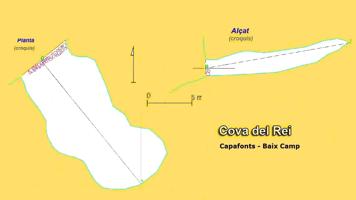
Espeleoindex · CC BY-NC 4.0, https://creativecommons.org/licenses/by-nc/4.0/ · Immagine © del suo autore.
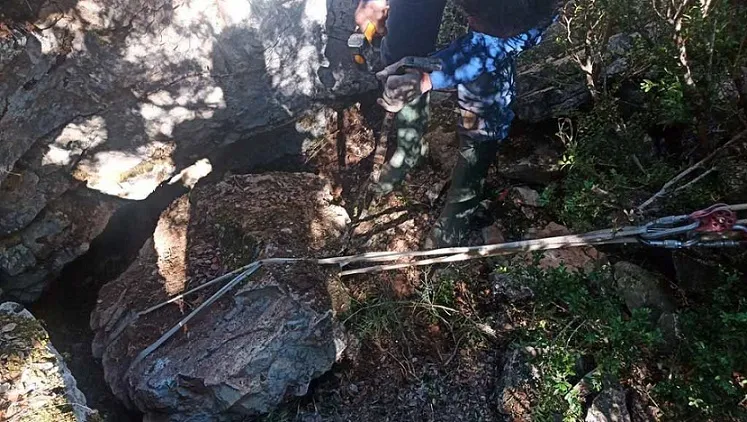
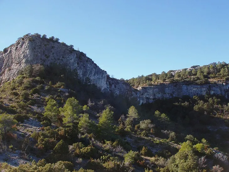
Foto
Espeleoindex · CC BY-NC 4.0, https://creativecommons.org/licenses/by-nc/4.0/ · Immagine © del suo autore.
Descrizione
Morfologia
It consists of a single gallery about 20 metres long, slightly ascending, about 8 metres wide and about 2 metres high along almost its entire length.
Altri dettagli
The entrance is protected by a dry-stone wall one metre high, which indicates its former use for keeping livestock.
Storia
Cited by J. Iglésies in 1927 as the Coves del Rei, with a careful description of it. It seems to have served as a refuge during the Civil War. Well known to hikers who travel through the area. In August 2017, members of the SIE – CEA (Josu Rizu and Lluïsa Mengual) visited it and made a sketch and photographs of the cavity.
Commenti degli utenti (0)
Nessun commento ancora.
Sii il primo a condividere la tua esperienza!
Esplorazioni registrate (0)
Nessuna esplorazione registrata.
Registra la tua visita a questa grotta!
Bibliografia
- Iglèsies, Josep (1927).- “Catalogació d'avencs i coves de la vall del riu Brugent”. Revista del Centre de Lectura (173): 212-226. Reus.
- Borràs, J.; Miñarro,JM.; Talavera, F. (1978).-Catàleg Espeleològic de Catalunya. Vol. 2 (l'Alt Camp, la Conca de Barberà,el Baix Penedès i el Tarragonès):246 pp. Ed. Poliglota. Barcelona.
- Borrás, J.; Miñarro, J.M.; Talavera, F.(1984).-”El Baix Camp, el Priorat i la Ribera d'Ebre” Catàleg Espeleològic de Catalunya (Vol 7):1-283. Ed Políglota. Barcelona.
- Actualització de dades i croquis topogràfic extret del blog: espeleobloc.blogspot (Apunt del 3-9-2017).
- Actualització de dades i fotografies facilitades per Montse Roca i Juli Serrano (SIE-CEA) desembre de 2020.
Grotte vicine



Fonte: Espeleoindex (espeleoindex.com), modificato. CC BY-NC 4.0, https://creativecommons.org/licenses/by-nc/4.0/