
Cova de la Sal
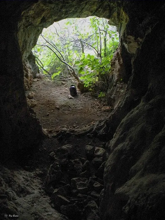
A rock shelter with an upper opening in Godall, in the Montsià, popularly known as cova de la Sal.
EspeleoWorld
Cova de la Sal
A rock shelter with an upper opening in Godall, in the Montsià, popularly known as cova de la Sal.
Godall · Montsià
Sviluppo: 28 m · Profondità: 8 m
Scheda aggiornata
https://espeleoworld.com/it/c/cova-de-la-sal
Le informazioni possono cambiare. Verifica sempre coordinate, accesso, meteo e condizioni della cavità prima di partire.
A rock shelter with an upper opening in Godall, in the Montsià, popularly known as cova de la Sal.
Topografia
Espeleoindex · CC BY-NC 4.0, https://creativecommons.org/licenses/by-nc/4.0/ · Immagine © del suo autore.
Foto
Espeleoindex · CC BY-NC 4.0, https://creativecommons.org/licenses/by-nc/4.0/ · Immagine © del suo autore.
Descrizione
Morfologia
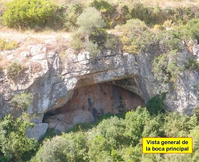
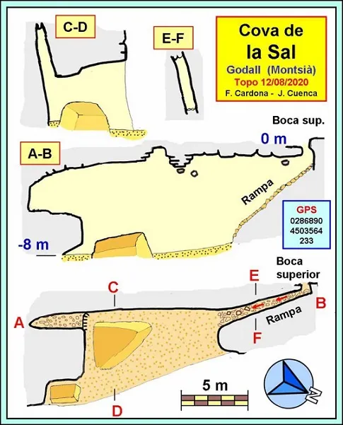
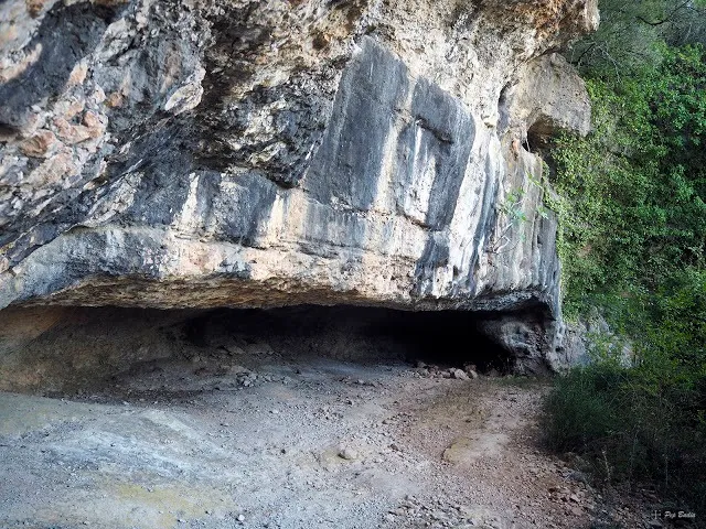
The main entrance of the cave presents itself in the manner of a rock shelter. The mouth is arch-shaped with dimensions of 10 m long by about 4 m high. The rock shelter is not very deep, about 7 m at its deepest point, but the back wall coincides with a joint that causes the cavity to continue as a gallery both to the right and to the left, but also vertically upwards until reaching 8 m in height.
Idrologia
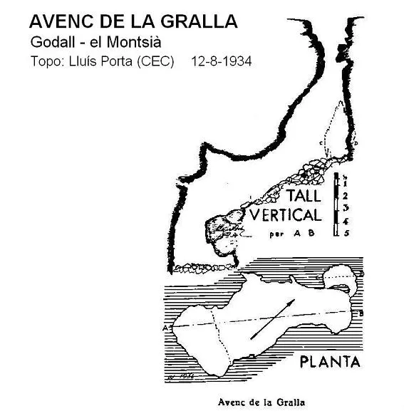
A little further east, the barranc de la Gralla overcomes the small crag where the cave is located by means of a waterfall (when it carries water).
Progressione
The gallery on the right immediately gives way to an ascending ramp 8 m long with a gradient close to 45 degrees, at the end of which is the upper mouth, of small dimensions.
Storia
Known to the people of the village, the name of the cave appears labelled on the ICC map in the correct place. The cavity does not appear in any speleological catalogue.
It seems that, originally, the name of the cavity would have been cova del Salt, but as the final “t” is hardly sounded, the toponym evolved towards cova de la Sal, the name by which everyone in the village knows the cavity.
Catalogued by members of the Espeleo Club Muntanyenc Barcelonès and of the Grup d'Espeleologia de Badalona who visited it on 12 August 2020.
Commenti degli utenti (0)
Nessun commento ancora.
Sii il primo a condividere la tua esperienza!
Esplorazioni registrate (0)
Nessuna esplorazione registrata.
Registra la tua visita a questa grotta!
Bibliografia
- Totes les dades, topografia i fotografies han estat extretes del web: geb.cat (del Grup d'Espeleologia de Badalona). Apunt del 17-8-2020. Dades: Ferran Cardona (ECM Barcelonès) i Josep Cuenca (GE Badalona)
Grotte vicine


Fonte: Espeleoindex (espeleoindex.com), modificato. CC BY-NC 4.0, https://creativecommons.org/licenses/by-nc/4.0/