
Cova de la Platja Nº2
Small cave with 11 metres of passage in Llimiana, a “T”-shaped conduit with no continuation, probably part of the cova de la Platja before the Noguera Pallaresa river cut them off.
EspeleoWorld
Cova de la Platja Nº2
Small cave with 11 metres of passage in Llimiana, a “T”-shaped conduit with no continuation, probably part of the cova de la Platja before the Noguera Pallaresa river cut them off.
Llimiana · Pallars Jussà
Sviluppo: 11 m
Scheda aggiornata
https://espeleoworld.com/it/c/cova-de-la-platja-n-2
Le informazioni possono cambiare. Verifica sempre coordinate, accesso, meteo e condizioni della cavità prima di partire.
Small cave with 11 metres of passage in Llimiana, a “T”-shaped conduit with no continuation, probably part of the cova de la Platja before the Noguera Pallaresa river cut them off.
Topografia
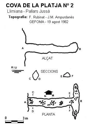
Espeleoindex · CC BY-NC 4.0, https://creativecommons.org/licenses/by-nc/4.0/ · Immagine © del suo autore.
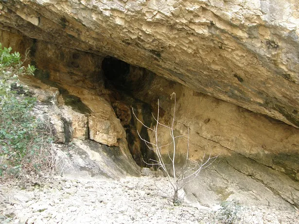
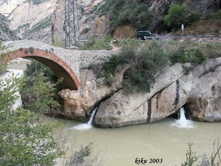
Foto
Espeleoindex · CC BY-NC 4.0, https://creativecommons.org/licenses/by-nc/4.0/ · Immagine © del suo autore.
Descrizione
Morfologia
It is a conduit with 11 metres of passage that ends in a “T” shape, with no possibility of continuation.
Progressione
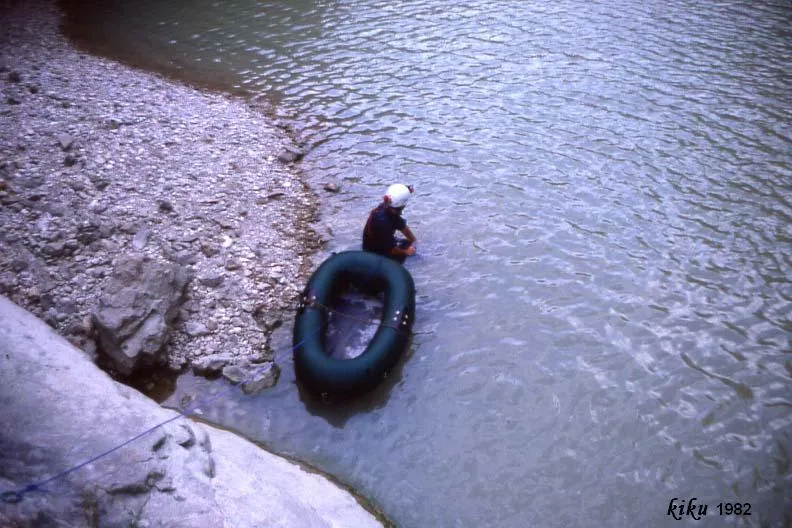
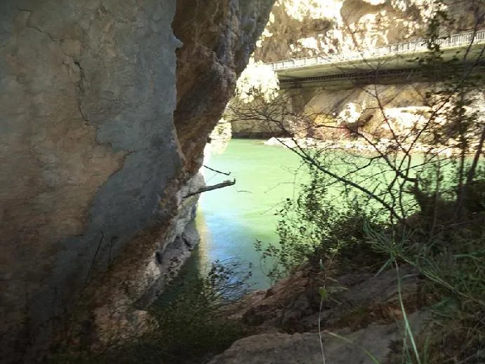
You have to go down along a path to the riverbed where we will find the cova de la Platja, crossing the river to its left bank, you go up along a terrace and just above the cave we will find some rock bridges where a 10-metre rope can be rigged that will allow us access to the cave.
Altri dettagli
Very probably it formed part of the cova de la platja located on the other bank of the gorge, before the Noguera Pallaresa river cut them off.
Storia
Located by the ERE of the CEC in 1960, explored by the same group in April 1969, although the description they give does not match the cavity at all. In August 1982 it was explored and surveyed by GEFOMA, although some time earlier it was explored by a group called GEIP which renamed it cova Tallada.
Commenti degli utenti (0)
Nessun commento ancora.
Sii il primo a condividere la tua esperienza!
Esplorazioni registrate (0)
Nessuna esplorazione registrata.
Registra la tua visita a questa grotta!
Bibliografia
- Rubinat, Francesc (1982).-“Serra del Montsec” Gours (9):114-127. GEFOMA. Barcelona.
- Escolà i Boada, Oleguer (1970).- “Catálogo Espeleológico del Montsec”. Espeleòleg (11-12):453-541. ERE del CEC. Barcelona.
Grotte vicine


Fonte: Espeleoindex (espeleoindex.com), modificato. CC BY-NC 4.0, https://creativecommons.org/licenses/by-nc/4.0/