
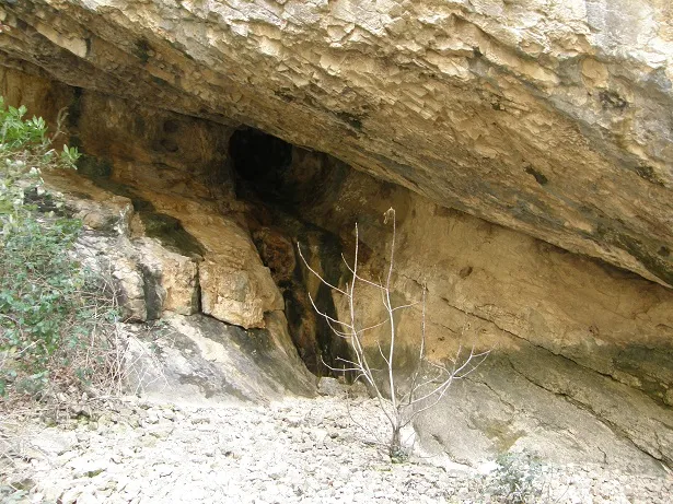
Cova de la Platja
A cave with 83 metres of passage in the municipality of Castell de Mur, with two entrances and ascending and descending galleries.
EspeleoWorld
Cova de la Platja
A cave with 83 metres of passage in the municipality of Castell de Mur, with two entrances and ascending and descending galleries.
Castell de Mur · Pallars Jussà
Sviluppo: 83 m · Profondità: 6 m
Scheda aggiornata
https://espeleoworld.com/it/c/cova-de-la-platja
Le informazioni possono cambiare. Verifica sempre coordinate, accesso, meteo e condizioni della cavità prima di partire.
A cave with 83 metres of passage in the municipality of Castell de Mur, with two entrances and ascending and descending galleries.
Topografia
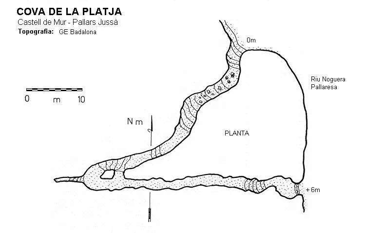
Espeleoindex · CC BY-NC 4.0, https://creativecommons.org/licenses/by-nc/4.0/ · Immagine © del suo autore.
Foto
Espeleoindex · CC BY-NC 4.0, https://creativecommons.org/licenses/by-nc/4.0/ · Immagine © del suo autore.
Descrizione
Morfologia
The lower entrance leads to an ascending passage running south-west, with some narrow sections; at its end there is a small pit and an upper gallery of 6 metres. After a sharp bend we find a descending gallery running east through which one reaches a low gallery that leads to the second entrance of the cave, located 6 metres above the river level.
Storia
The first exploration was carried out by the GE Badalona on 22 December 1964. On 11 May 1965 the ERE of the CEC explored a small ascending upper gallery.
Commenti degli utenti (0)
Nessun commento ancora.
Sii il primo a condividere la tua esperienza!
Esplorazioni registrate (0)
Nessuna esplorazione registrata.
Registra la tua visita a questa grotta!
Bibliografia
- Borràs, J; Miñarro, J.M.; Talavera, F.(1979).-”el Pallars Jussà”. Catàleg Espeleològic de Catalunya (Vol.3). ed. Políglota. Barcelona.
- Carreras, A. (1965).-”El Montsec Subterráneo”. Cavernas (5):150-156. GE Badalona.
- Escolà i Boada, Oleguer (1970).- “Catálogo Espeleológico del Montsec”. Espeleòleg (11-12):453-541. ERE del CEC. Barcelona.
- Rubinat Aumedes, Francesc (1982).-“Serra del Montsec” Gours (9):114-127. GEFOMA. Barcelona.
- Valles, Jordi de (2008).-”Alta Ribagorça, Pallars Jussà, Pallars Sobirà, Val d'Aran”. Catàleg Espeleològic de Catalunya (Vol.1):1-319. FCE/EC Gràcia.
- Vega, Josep de la (1981).-“Aplec de documents arqueològics de les coves del Montsec i llur projecció a les comarques i serres properes”. Mediterrània (11-12):1-359.
- Fotografies facilitades per Josep M. Molgó (GELL).
- Situació i coordenades facilitades per Joan Pallise.
Grotte vicine
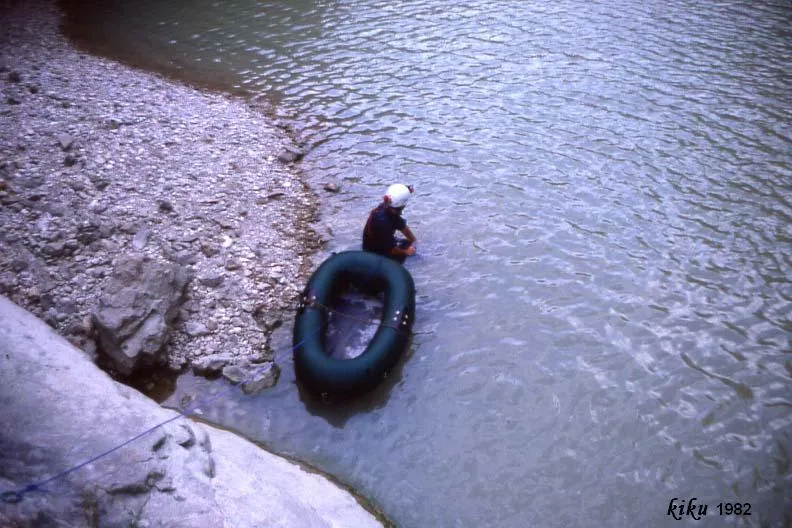
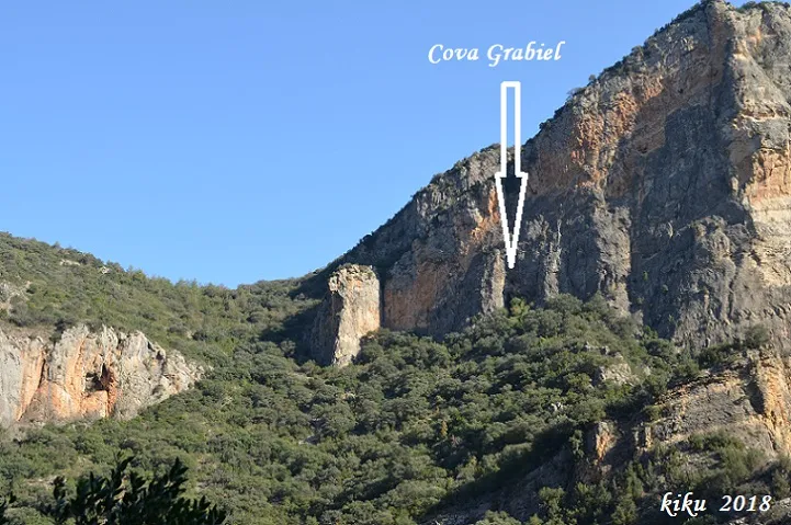
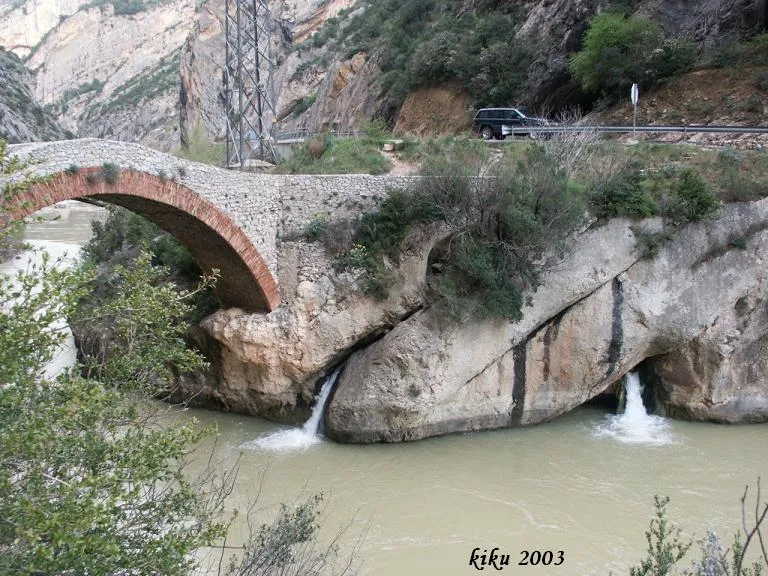
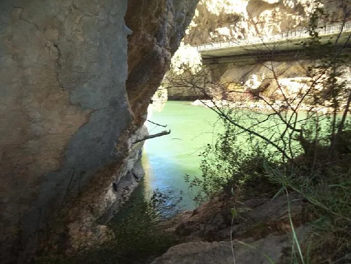


Fonte: Espeleoindex (espeleoindex.com), modificato. CC BY-NC 4.0, https://creativecommons.org/licenses/by-nc/4.0/