
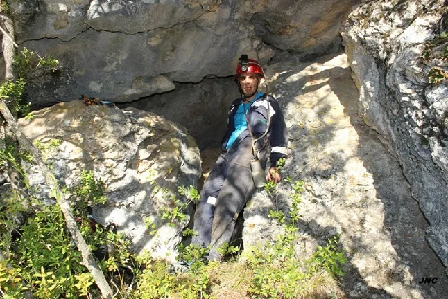
Cova 2 de Saborell
Small cave with 82 metres of passage in Alòs de Balaguer, formed by voids between blocks from landslides of the upper cliff, covered by sediments.
EspeleoWorld
Cova 2 de Saborell
Small cave with 82 metres of passage in Alòs de Balaguer, formed by voids between blocks from landslides of the upper cliff, covered by sediments.
Alòs de Balaguer · Noguera
Sviluppo: 82 m · Profondità: 9 m
Scheda aggiornata
https://espeleoworld.com/it/c/cova-2-de-saborell
Le informazioni possono cambiare. Verifica sempre coordinate, accesso, meteo e condizioni della cavità prima di partire.
Small cave with 82 metres of passage in Alòs de Balaguer, formed by voids between blocks from landslides of the upper cliff, covered by sediments.
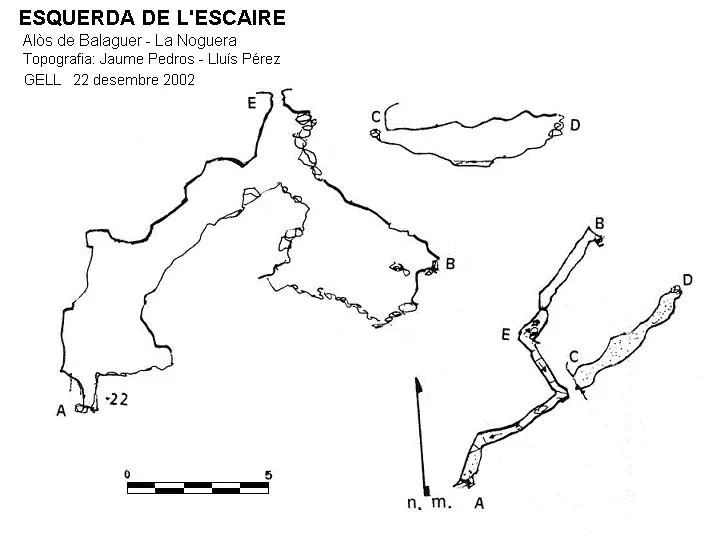
Topografia
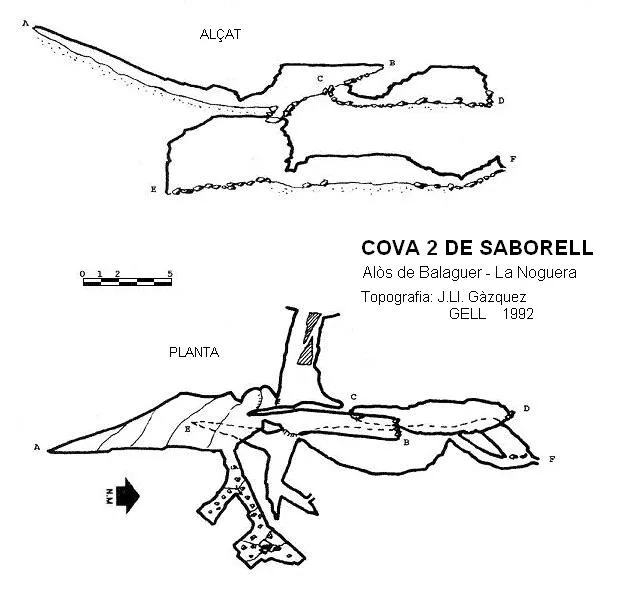
Espeleoindex · CC BY-NC 4.0, https://creativecommons.org/licenses/by-nc/4.0/ · Immagine © del suo autore.
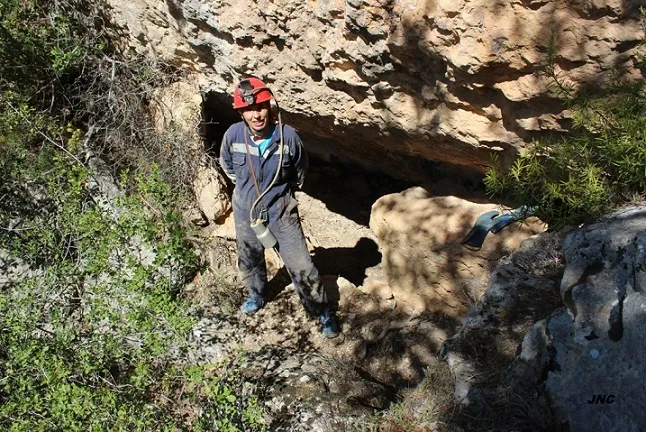
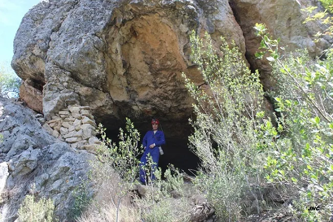
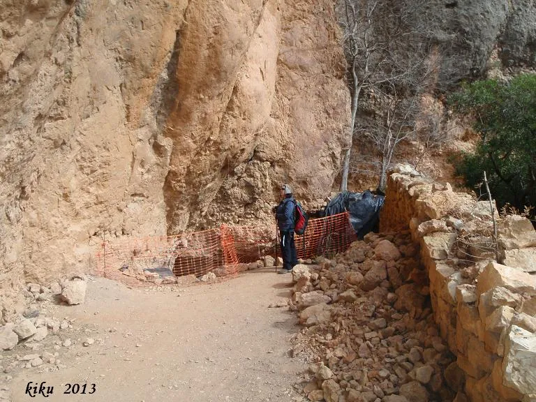
Foto
Espeleoindex · CC BY-NC 4.0, https://creativecommons.org/licenses/by-nc/4.0/ · Immagine © del suo autore.
Descrizione
Morfologia
Cavity formed by the voids left between blocks from landslides of the upper cliff, later covered by sediments. This has formed a set of pseudogalleries of reduced dimensions at different levels. The elevation difference is 9 metres (-6/+3).
Concrezioni
The local water input has produced an incipient lithogenic process.
Storia
Explored in 1992 by the GELL of the CE Lleida.
Commenti degli utenti (0)
Nessun commento ancora.
Sii il primo a condividere la tua esperienza!
Esplorazioni registrate (0)
Nessuna esplorazione registrata.
Registra la tua visita a questa grotta!
Bibliografia
- Gàzquez i Pons, Josep Lluis, (1995).-”Catàleg Espeleològic de la Noguera” Grallera (3-4):1-90. GE Lleidatà. Lleida.
- Valles, Jordi de (2008).-”Alt Urgell, Noguera, Pla d'Urgell, Segarra, Solsonès, Urgell”. Catàleg Espeleològic de Catalunya (Vol.2):1-384. EC Gràcia/FCE.
- Dades, revisió de coordenades i fotografies facilitades per Montse Mañosa i Jordi Navarro (Centre Excursionista Castellar del Vallès)
Grotte vicine


Fonte: Espeleoindex (espeleoindex.com), modificato. CC BY-NC 4.0, https://creativecommons.org/licenses/by-nc/4.0/