
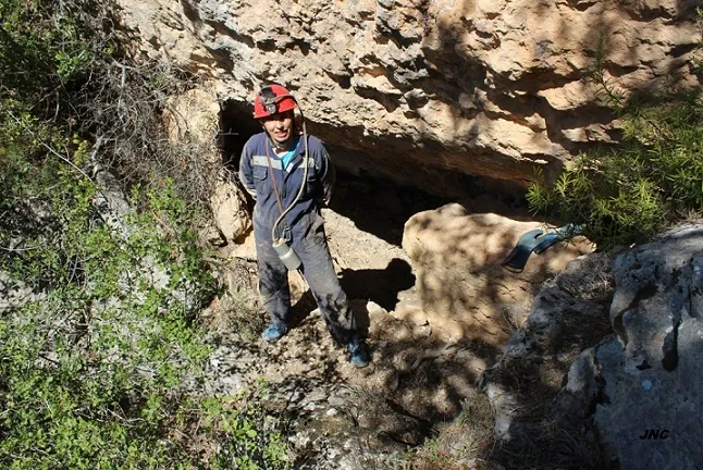
Cova 1 de Saborell
Small cave with 49 metres of passage in Alòs de Balaguer, formed between blocks from landslides of the upper crag.
EspeleoWorld
Cova 1 de Saborell
Small cave with 49 metres of passage in Alòs de Balaguer, formed between blocks from landslides of the upper crag.
Alòs de Balaguer · Noguera
Sviluppo: 49 m · Profondità: 6 m
Scheda aggiornata
https://espeleoworld.com/it/c/cova-1-de-saborell
Le informazioni possono cambiare. Verifica sempre coordinate, accesso, meteo e condizioni della cavità prima di partire.
Small cave with 49 metres of passage in Alòs de Balaguer, formed between blocks from landslides of the upper crag.
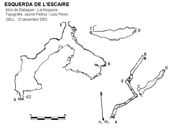
Topografia
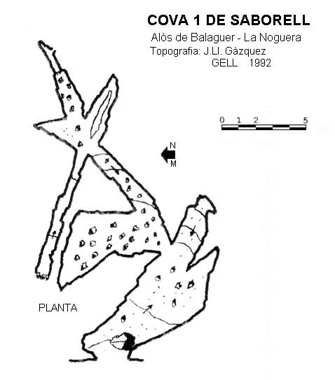
Espeleoindex · CC BY-NC 4.0, https://creativecommons.org/licenses/by-nc/4.0/ · Immagine © del suo autore.
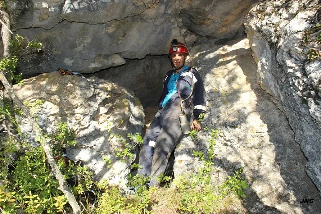
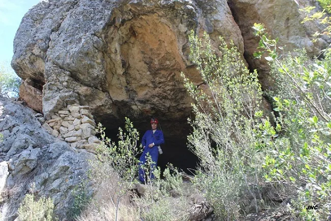
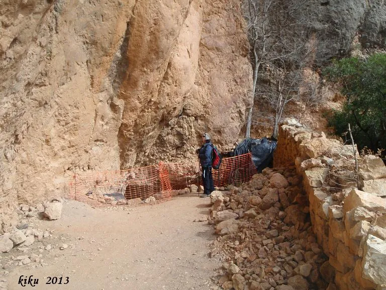
Foto
Espeleoindex · CC BY-NC 4.0, https://creativecommons.org/licenses/by-nc/4.0/ · Immagine © del suo autore.
Descrizione
Morfologia
Cavity formed by the voids left between blocks from landslides of the upper crag, later covered by sediments. The elevation difference is 6 metres (-2/+4).
Storia
Explored in 1992 by the GELL of the CE Lleida.
Commenti degli utenti (0)
Nessun commento ancora.
Sii il primo a condividere la tua esperienza!
Esplorazioni registrate (0)
Nessuna esplorazione registrata.
Registra la tua visita a questa grotta!
Bibliografia
- Gàzquez i Pons, Josep Lluis, (1995).-”Catàleg Espeleològic de la Noguera” Grallera (3-4):1-90. GE Lleidatà. Lleida.
- Valles, Jordi de (2008).-”Alt Urgell, Noguera, Pla d'Urgell, Segarra, Solsonès, Urgell”. Catàleg Espeleològic de Catalunya (Vol.2):1-384. EC Gràcia/FCE.
- Dades, revisió de coordenades i fotografies facilitades per Montse Mañosa i Jordi Navarro (Centre Excursionista Castellar del Vallès)
Grotte vicine


Fonte: Espeleoindex (espeleoindex.com), modificato. CC BY-NC 4.0, https://creativecommons.org/licenses/by-nc/4.0/