
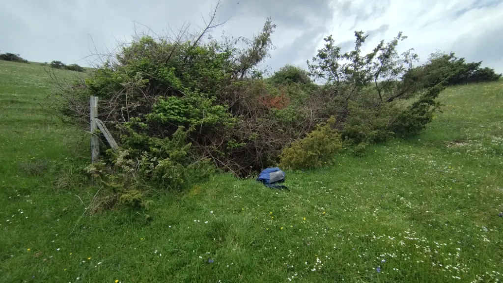
Pozzicoletto
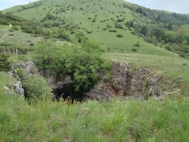
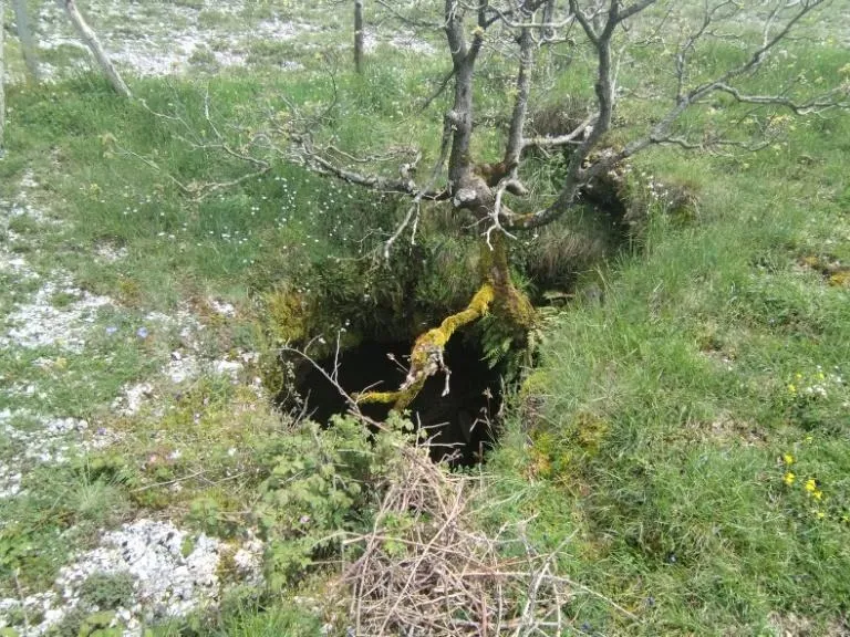
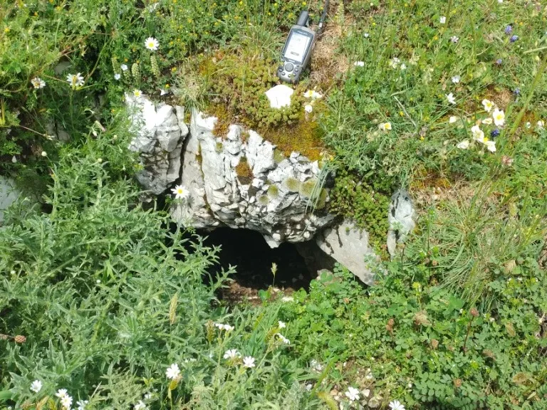
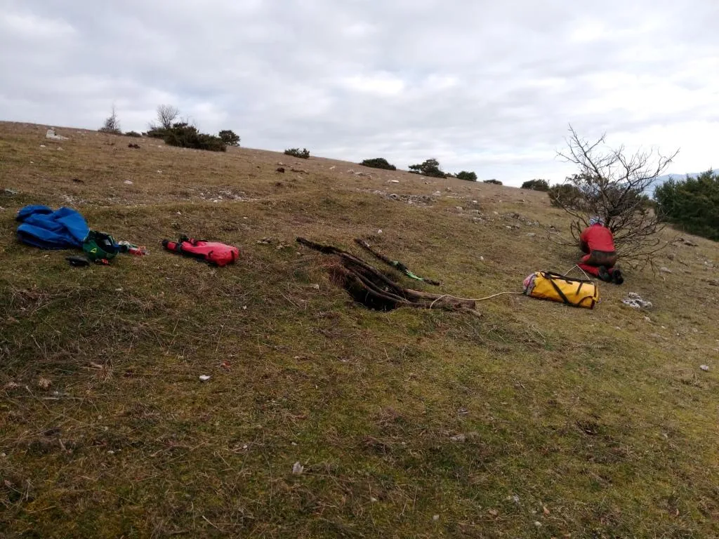
A pit with a collapse chamber, with a surface opening about 2 m in diameter and a depth of about 5 m, whose underlying hall is almost oval in shape.
EspeleoWorld
Pozzicoletto
A pit with a collapse chamber, with a surface opening about 2 m in diameter and a depth of about 5 m, whose underlying hall is almost oval in shape.
Spoleto
Longueur: 4 m · Profondeur: 8 m
Fiche actualisée
https://espeleoworld.com/fr/c/pozzicoletto-spoleto-perugia
Les informations peuvent changer. Vérifiez toujours les coordonnées, l'accès, la météo et l'état de la cavité avant de partir.
A pit with a collapse chamber, with a surface opening about 2 m in diameter and a depth of about 5 m, whose underlying hall is almost oval in shape.
Photos
© Mauro Barbieri · LicenseRef-FUGS-media-per-item · Federazione Umbra Gruppi Speleologici (FUGS), Catasto Speleologico dell'Umbria · https://catasto.fugs.it/index.php?mod=caves&op=view&id=115
Description
Morphologie
Pit with a chamber, a collapse structure with a surface opening about 2 m in diameter and a depth of about 5 m. The underlying hall has an almost oval shape. Trend: horizontal/vertical.
Progression
Traversability: demanding; recommended period all year round. Rigging: necessary. Progression difficulty: pits. Hazards: dangerous access.
Autres détails
Geology: MAI Maiolica - Upper Jurassic-Lower Cretaceous (Tithonian-Aptian).
Commentaires des utilisateurs (0)
Aucun commentaire pour le moment.
Soyez le premier à partager votre expérience !
Explorations enregistrées (0)
Aucune exploration enregistrée pour le moment.
Enregistrez votre visite dans cette cavité !
Bibliographie
LOTTI B. (1917) Il gruppo montuoso del Monte Martano MONTANARI R. (1940) I Monti Martani FAMIANI F. & CARDINALI R. (2018) Esplorazioni Monti Martani Gennaio-Febbraio 2018
Grottes à proximité

Source : Catasto Cavità Umbria (Federazione Umbra Gruppi Speleologici, FUGS) (catasto.fugs.it), avec modifications. LicenseRef-FUGS-no-licence-stated Federazione Umbra Gruppi Speleologici (FUGS), Catasto Speleologico dell'Umbria · https://catasto.fugs.it/index.php?mod=caves&op=view&id=115 · données de 2025 · Source : Catasto Cavità Umbria (Federazione Umbra Gruppi Speleologici, FUGS) (catasto.fugs.it), avec modifications. LicenseRef-FUGS-media-per-item Federazione Umbra Gruppi Speleologici (FUGS), Catasto Speleologico dell'Umbria · données de 2025