
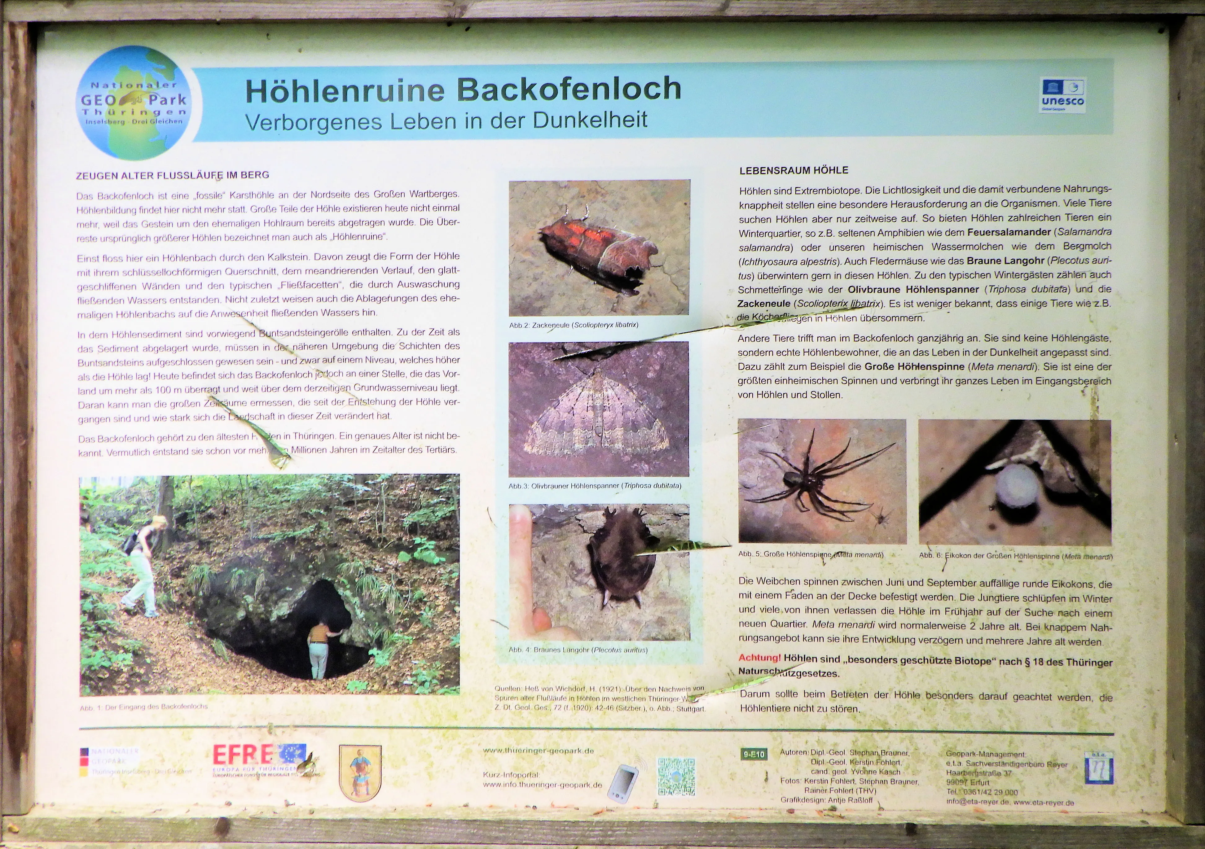
Backofenloch
The Großer Wartberg is a prominent, 567.7 m high, fully wooded mountain in the east of the town of Ruhla in the Wartburgkreis in Thuringia.
EspeleoWorld
Backofenloch
The Großer Wartberg is a prominent, 567.7 m high, fully wooded mountain in the east of the town of Ruhla in the Wartburgkreis in Thuringia.
Ruhla
Fiche actualisée
https://espeleoworld.com/fr/c/backofenloch-ruhla
Les informations peuvent changer. Vérifiez toujours les coordonnées, l'accès, la météo et l'état de la cavité avant de partir.
The Großer Wartberg is a prominent, 567.7 m high, fully wooded mountain in the east of the town of Ruhla in the Wartburgkreis in Thuringia.
Photos
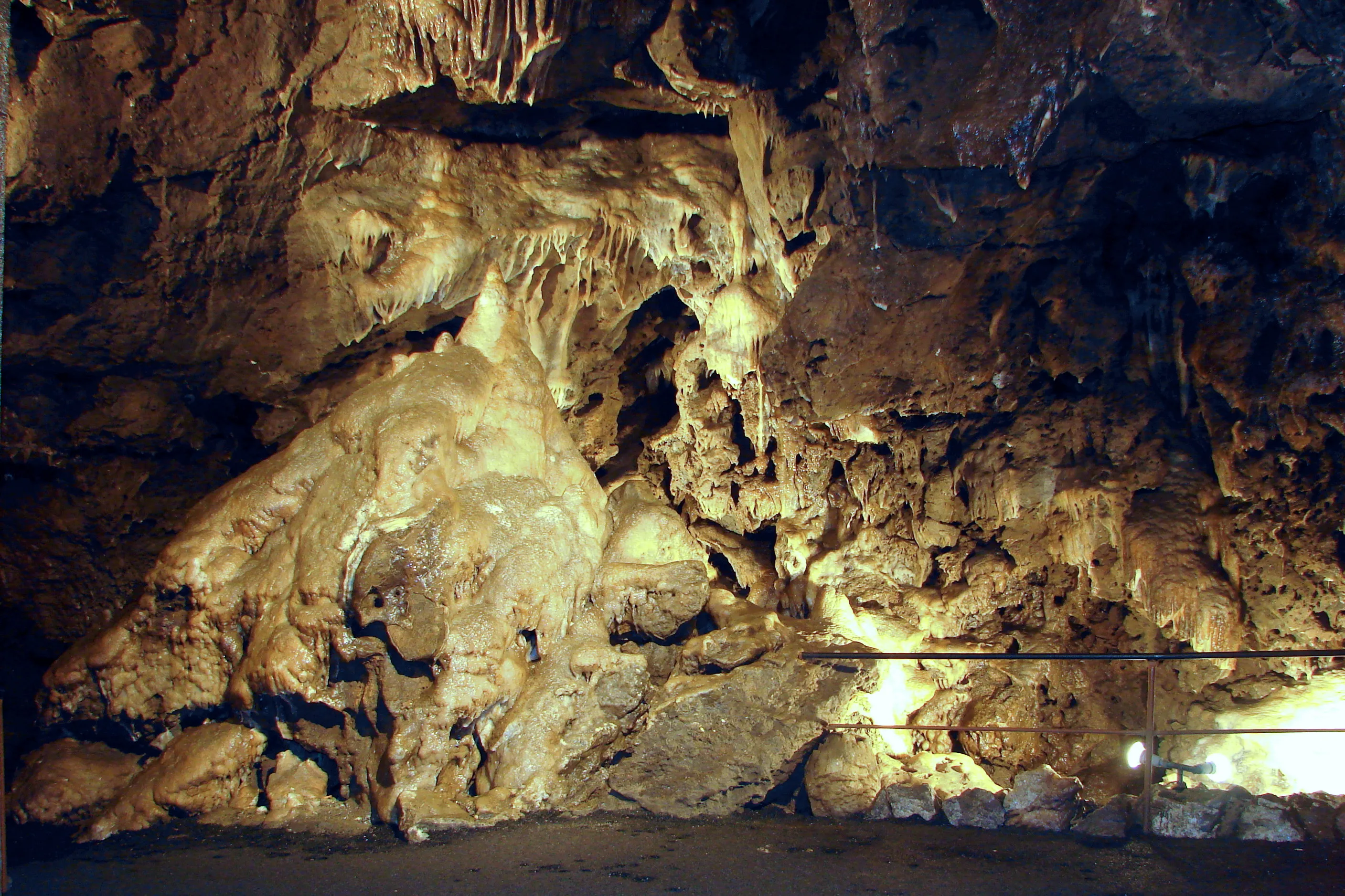
© EACC80 · CC BY 3.0, https://creativecommons.org/licenses/by/3.0/ · Wikimedia Commons · https://commons.wikimedia.org/wiki/File:GeoRoute9_Ruhlaer_Insel_Station10.jpg
Description
Morphologie
The Großer Wartberg is a prominent, 567.7 m high mountain. The secondary summit Kleiner Wartberg (553.6 m) is located west of the main summit and can be recognized as a cone-shaped knoll; on the western flank, the viewpoint "Dicelstein" can be climbed on a rock.
Autres détails
Near the summit, on the northern slope of the Großer Wartberg, there is a cave that is associated with the presence of the Venetians; it is known as Backofenloch.
Histoire
In the 18th and 19th centuries, the Wartberg was also written as "Martberg" – probably due to a typographical error in various maps.
Commentaires des utilisateurs (0)
Aucun commentaire pour le moment.
Soyez le premier à partager votre expérience !
Explorations enregistrées (0)
Aucune exploration enregistrée pour le moment.
Enregistrez votre visite dans cette cavité !
Grottes à proximité

Contient des informations de © OpenStreetMap contributors, www.openstreetmap.org, mises à disposition sous la licence Open Database License (ODbL 1.0, https://opendatacommons.org/licenses/odbl/1-0/), avec modifications. · https://www.openstreetmap.org/node/1122507215 · données de 2026 · Source : German Wikipedia – article leads (cave descriptions) (de.wikipedia.org), avec modifications. CC BY-SA 4.0, https://creativecommons.org/licenses/by-sa/4.0/ Wikipedia contributors (de.wikipedia.org), CC BY-SA 4.0 · Texte de Wikipedia contributors (Großer Wartberg (Ruhla)) · adapté par Espeleoworld (normalisé, traduit) ; l'adaptation est sous licence CC BY-SA 4.0, https://creativecommons.org/licenses/by-sa/4.0/ · description · obtenu le 2026-11-13 · https://de.wikipedia.org/wiki/Gro%C3%9Fer_Wartberg_(Ruhla) · données de 2026 · Les données dérivées sont disponibles sur demande sous l'ODbL : [email protected]