
Photo - Försterhöhle
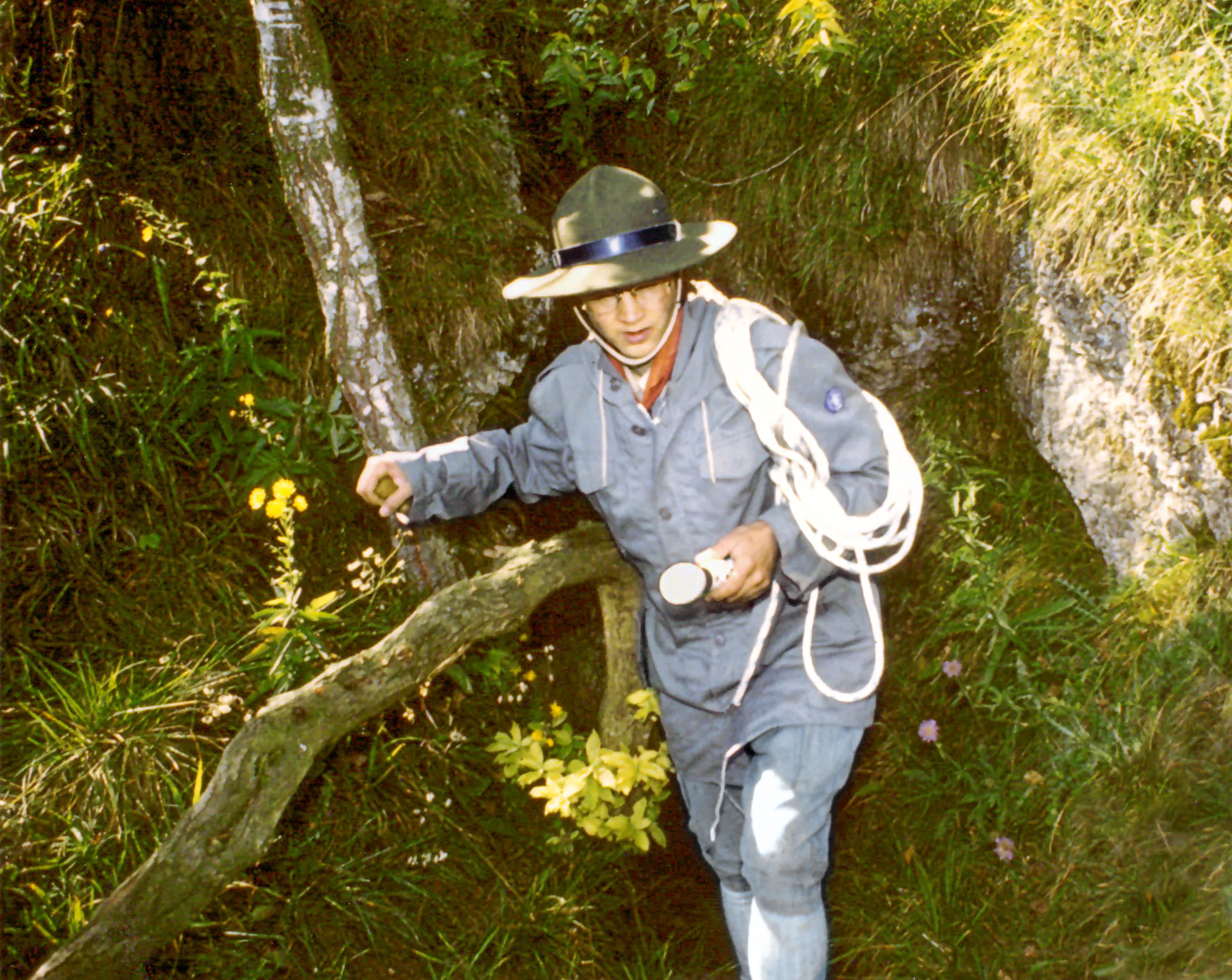


© Mediatus · CC BY-SA 3.0, https://creativecommons.org/licenses/by-sa/3.0/ · Wikimedia Commons · https://commons.wikimedia.org/wiki/File:Stamm_%C3%84gypten,_Sommerlager_1986,_Fr%C3%A4nkische_Schweiz_%E2%80%93_In_der_F%C3%B6rsterh%C3%B6hle_bei_Waischenfeld.png
Source: Geotopkataster Bayern (Bayerisches Landesamt für Umwelt) (www.umweltatlas.bayern.de), modified. CC BY 4.0, https://creativecommons.org/licenses/by/4.0/ Datenquelle: Bayerisches Landesamt für Umwelt, www.lfu.bayern.de · data as of 2026 · Contains information from © OpenStreetMap contributors, www.openstreetmap.org, made available under the Open Database License (ODbL 1.0, https://opendatacommons.org/licenses/odbl/1-0/), modified. · length · obtained 2026-11-13 · https://www.openstreetmap.org/node/2377076916 · data as of 2026 · Source: Wikidata – cave items (Germany) (www.wikidata.org), modified. CC0 1.0, https://creativecommons.org/publicdomain/zero/1.0/ Wikidata (CC0 1.0) · data as of 2026 · The derived data is available on request under the ODbL: [email protected]