
Wassersteinhöhle
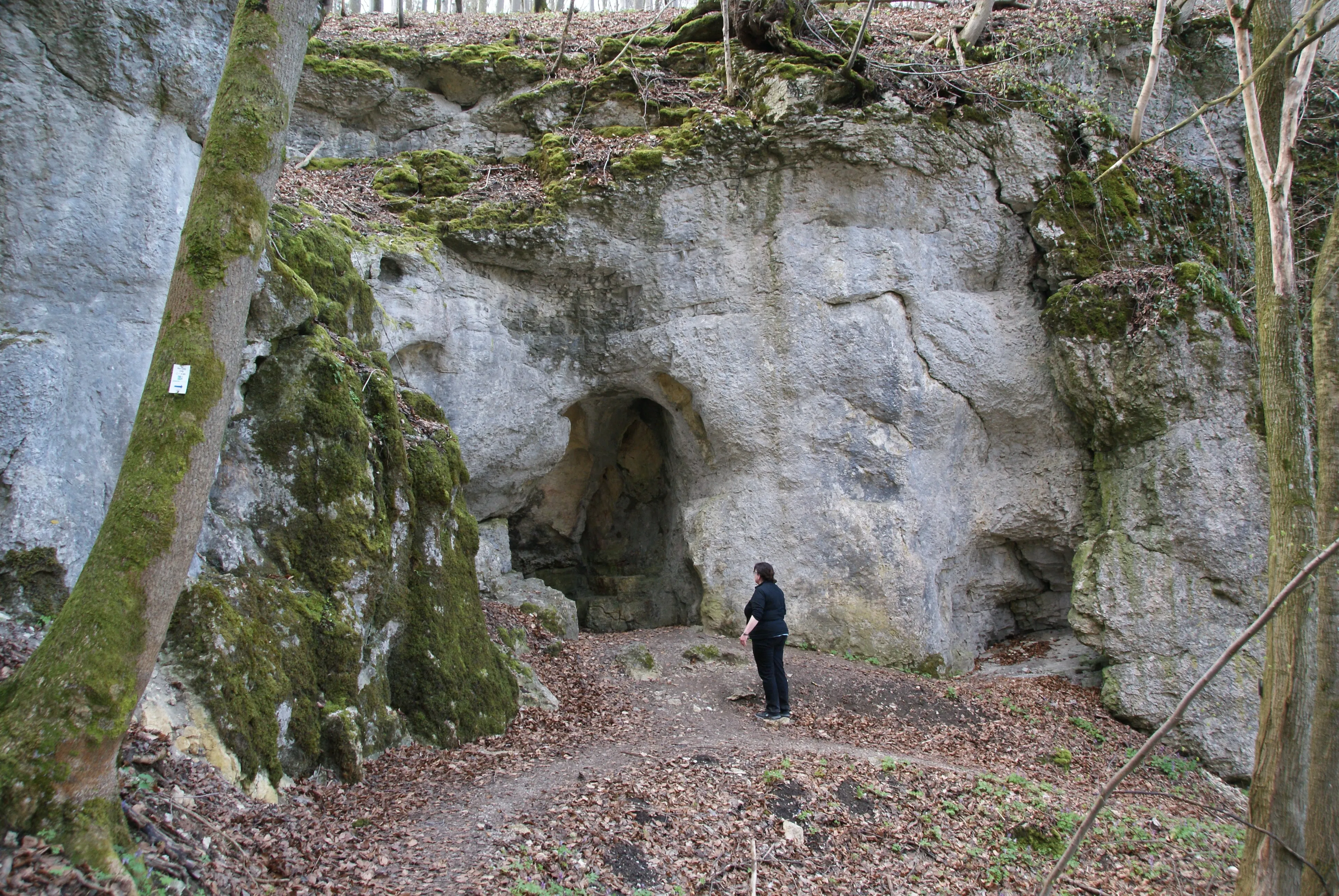
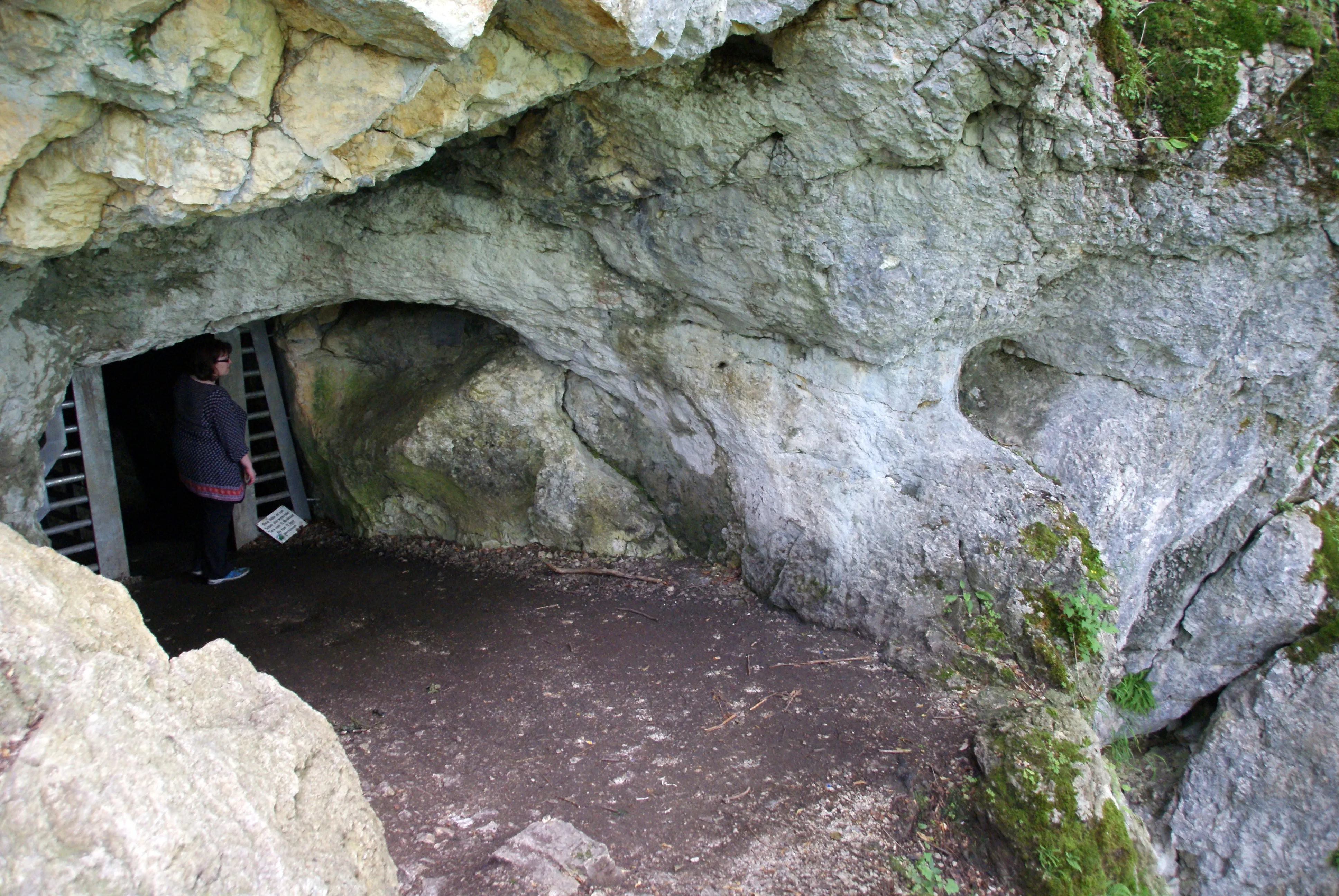
The Wassersteinhöhle is a cave about 31 meters long that can only be visited by crawling, with a nearly rounded, artificially altered entrance 3.2 m wide and 3.5 m high.
EspeleoWorld
Wassersteinhöhle
The Wassersteinhöhle is a cave about 31 meters long that can only be visited by crawling, with a nearly rounded, artificially altered entrance 3.2 m wide and 3.5 m high.
Bad Urach
Length: 31 m · Depth: 9 m
Updated record
https://espeleoworld.com/en/c/wassersteinhoehle-bad-urach
Information can change. Always verify coordinates, access, weather, and cave conditions before setting out.
The Wassersteinhöhle is a cave about 31 meters long that can only be visited by crawling, with a nearly rounded, artificially altered entrance 3.2 m wide and 3.5 m high.
Photos
© Karle3 · CC BY-SA 4.0, https://creativecommons.org/licenses/by-sa/4.0/ · Wikimedia Commons · https://commons.wikimedia.org/wiki/File:Kd3_20200410_05185_wassersteinhoehle.jpg
Description
Morphology
It has a nearly rounded, artificially altered entrance 3.2 m wide and 3.5 m high and is about 31 meters long.
Progression
The cave can only be visited by crawling.
Other details
The cave is protected as a geotope.
User Comments (0)
No comments yet.
Be the first to share your experience!
Registered Explorations (0)
No explorations registered yet.
Register your visit to this cave!
Nearby caves

Source: Geotopkataster Baden-Württemberg (Regierungspräsidium Freiburg – LGRB) (services.lgrb-bw.de), modified. Data licence Germany – attribution – version 2.0 (dl-de/by-2-0), https://www.govdata.de/dl-de/by-2-0 Datenquelle: Regierungspräsidium Freiburg - LGRB, www.lgrb-bw.de · data as of 2026 · Contains information from Grottocenter (Wikicaves), grottocenter.org, made available under the Open Database License (ODbL 1.0, https://opendatacommons.org/licenses/odbl/1-0/), modified. · depth, length · obtained 2026-11-13 · https://grottocenter.org/ui/entrances/77396 · data as of 2026 · Source: Wikidata – cave items (Germany) (www.wikidata.org), modified. CC0 1.0, https://creativecommons.org/publicdomain/zero/1.0/ Wikidata (CC0 1.0) · data as of 2026 · Source: German Wikipedia – article leads (cave descriptions) (de.wikipedia.org), modified. CC BY-SA 4.0, https://creativecommons.org/licenses/by-sa/4.0/ Wikipedia contributors (de.wikipedia.org), CC BY-SA 4.0 · Text by Wikipedia contributors (Wassersteinhöhle) · adapted by Espeleoworld (normalized, translated); the adaptation is licensed CC BY-SA 4.0, https://creativecommons.org/licenses/by-sa/4.0/ · description · obtained 2026-11-13 · https://de.wikipedia.org/wiki/Wassersteinh%C3%B6hle · data as of 2026 · The derived data is available on request under the ODbL: [email protected]