
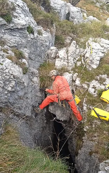
Torca
EspeleoWorld
Torca
Ruesga
Length: 20 m · Depth: 15 m
Updated record
https://espeleoworld.com/en/c/torca-ruesga-cantabria-54
Information can change. Always verify coordinates, access, weather, and cave conditions before setting out.
Shaft in Ruesga (Cantabria). Length 20 m. Depth 15 m. Entrance altitude 734 m.
Topographic
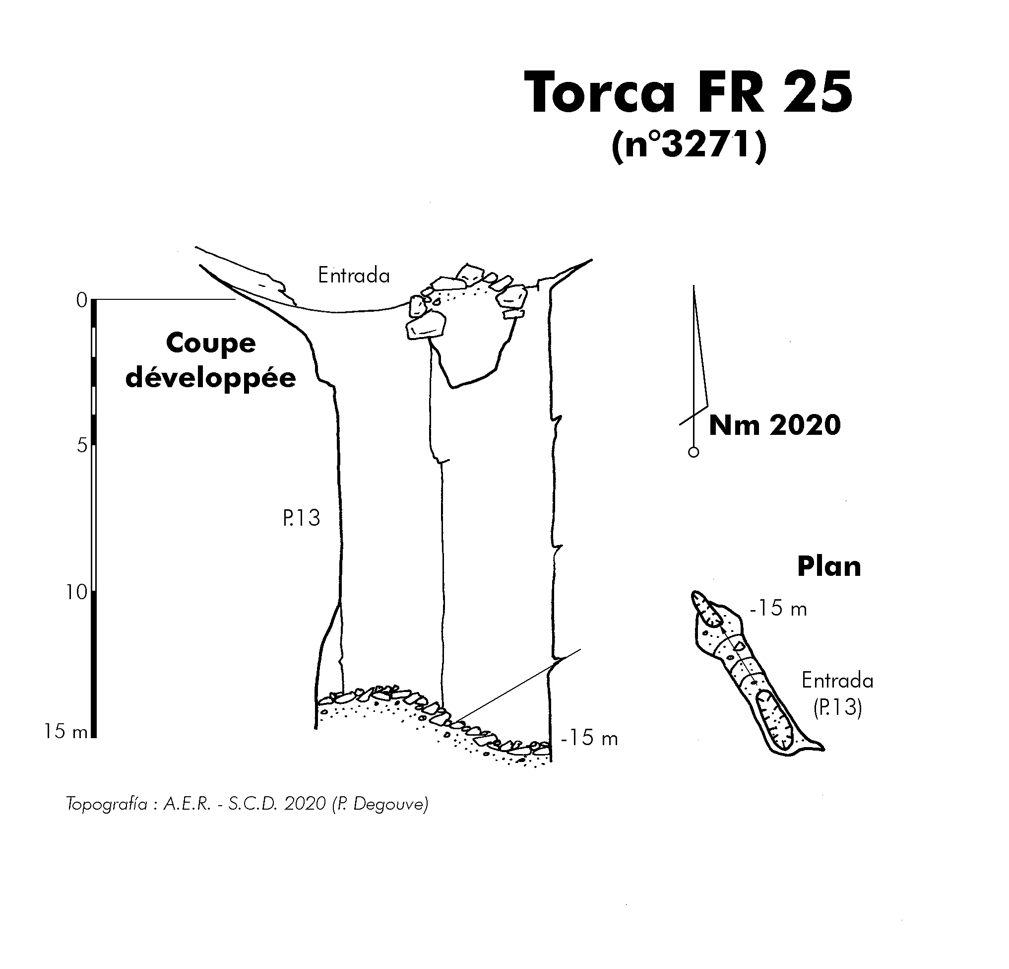
© Degouve (AER-SCD) · CC BY-NC-SA (version not stated by the source), https://www.karsteau.org/karsteau/index.php · Karsteau: Topographie torca 3271 · https://www.karsteau.org/karsteau/recherche/entree/recherche_entree.php?entree=26457
Photos
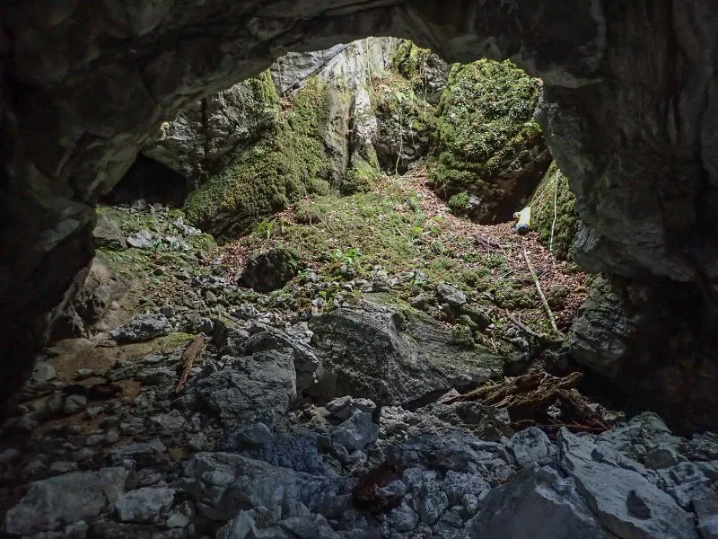
© Degouve (AER-SCD) · CC BY-NC-SA (version not stated by the source), https://www.karsteau.org/karsteau/index.php · Karsteau: Entrée de la torca 3271 · https://www.karsteau.org/karsteau/recherche/entree/recherche_entree.php?entree=26457
History
3271 (AER-SCD) : Torca .
Description : Puits en diaclase de 15 m de profondeur entièrement colmaté (7 x 1 m).
Pas de courant d'air.
Développement : 20 m ; dénivellation : 15 m
Historique des explorations : Découvert par l'AER le 10 novembre 2020 (A. Fuentes) et exploré le 30 novembre suivant (P. Degouve).
Topographie : AER-SCD 2020
Résurgence présumée : Fuente Iseña?
User Comments (0)
No comments yet.
Be the first to share your experience!
Registered Explorations (0)
No explorations registered yet.
Register your visit to this cave!
Nearby caves
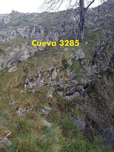
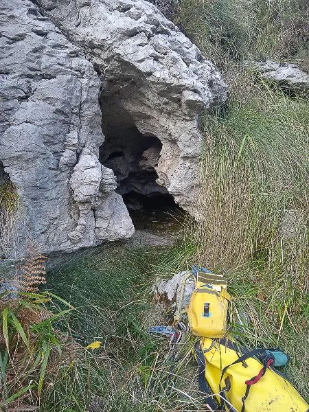


Source: Karsteau (Fédération Française de Spéléologie et Canyon) (www.karsteau.org), modified. CC BY-NC-SA (version not stated by the source), https://www.karsteau.org/karsteau/index.php Karsteau (Fédération Française de Spéléologie et Canyon) · Text by Karsteau (FFS) contributors · https://www.karsteau.org/karsteau/recherche/entree/recherche_entree.php?entree=26457 · data as of 2026