
Torca de la Cumbre El Palomar
EspeleoWorld
Torca de la Cumbre El Palomar
Arredondo
Updated record
https://espeleoworld.com/en/c/torca-de-la-cumbre-el-palomar-arredondo
Information can change. Always verify coordinates, access, weather, and cave conditions before setting out.
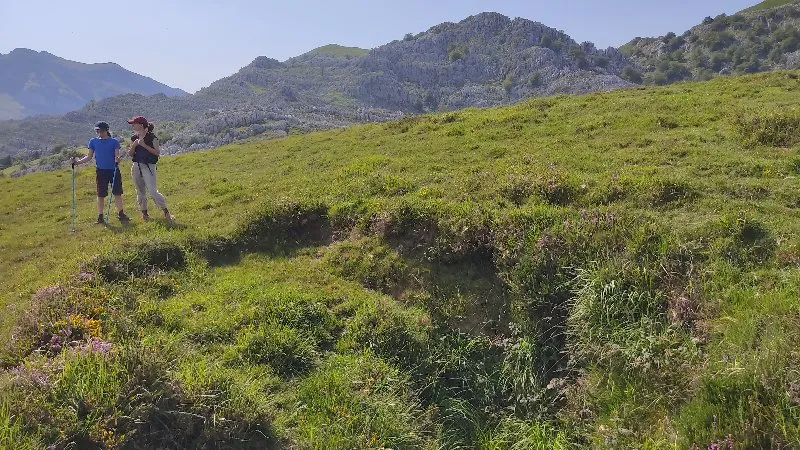
Shaft in Arredondo (Cantabria). Entrance altitude 822 m.
Photos
© G. Simonnot (SCD) · CC BY-NC-SA (version not stated by the source), https://www.karsteau.org/karsteau/index.php · Karsteau: 3669.jpg · https://www.karsteau.org/karsteau/recherche/entree/recherche_entree.php?entree=35296
User Comments (0)
No comments yet.
Be the first to share your experience!
Registered Explorations (0)
No explorations registered yet.
Register your visit to this cave!
Nearby caves
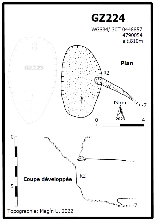

Source: Karsteau (Fédération Française de Spéléologie et Canyon) (www.karsteau.org), modified. CC BY-NC-SA (version not stated by the source), https://www.karsteau.org/karsteau/index.php Karsteau (Fédération Française de Spéléologie et Canyon) · https://www.karsteau.org/karsteau/recherche/entree/recherche_entree.php?entree=35296 · data as of 2026