
Torca
EspeleoWorld
Torca
Arredondo
Length: 10 m · Depth: 7 m
Updated record
https://espeleoworld.com/en/c/torca-arredondo-cantabria-313
Information can change. Always verify coordinates, access, weather, and cave conditions before setting out.
Shaft in Arredondo (Cantabria). Length 10 m. Depth 7 m. Entrance altitude 453 m.
History
2226 (SCD) : Torca
Commune : Arredondo
x : 448,398 ; y : 4791,37 ; z : 453 m (UTM-ED 50) (GPS), (zone n° 01)
Carte 1/5000 : Xl-29 ; carte spéléologique n°2
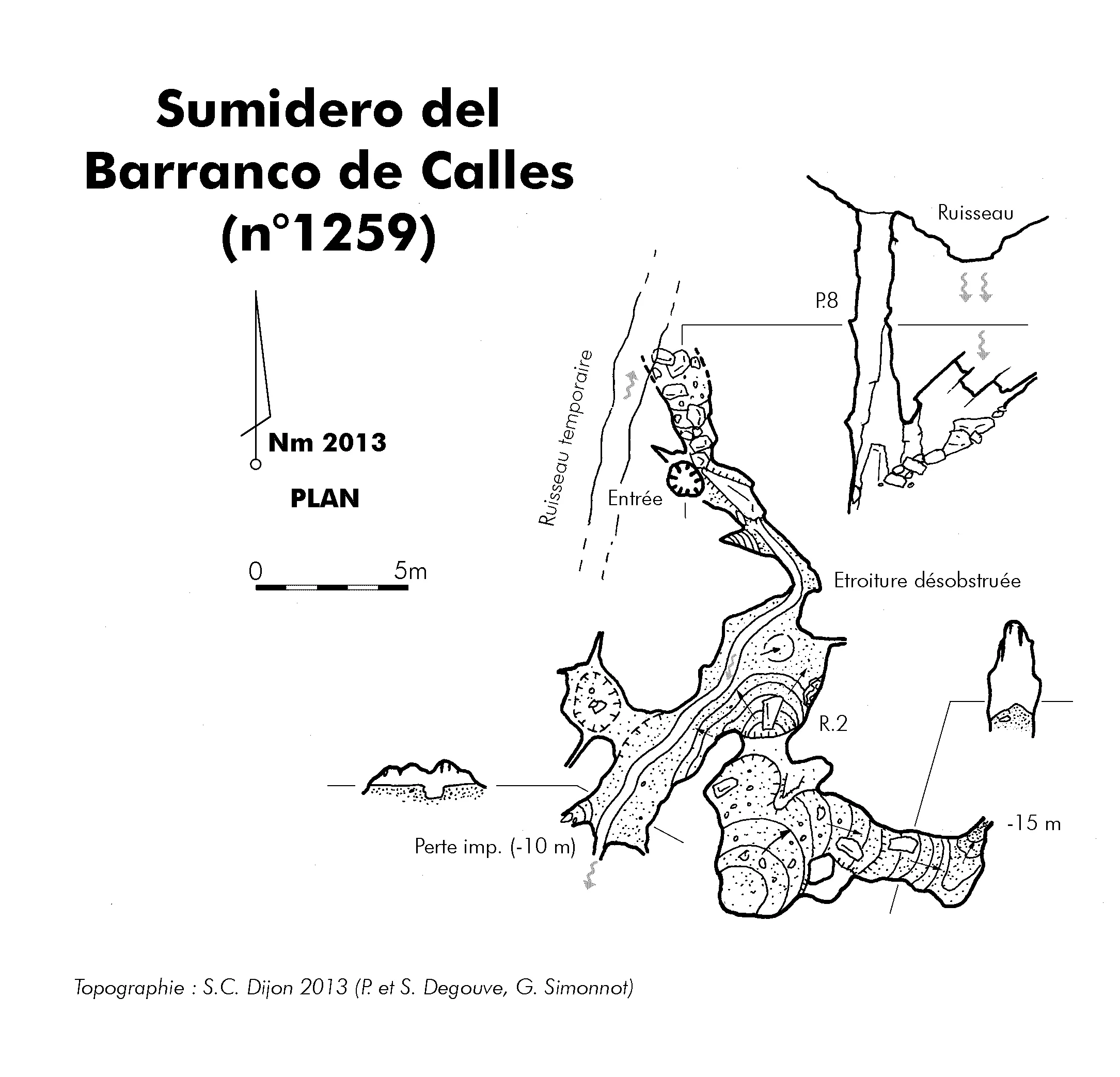
Situation : Canal de Calles, entre la cueva del Arena (n° 989) et le sumidero 1259.
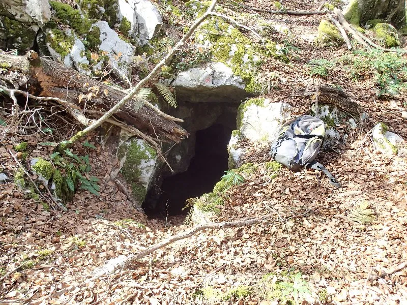
Description : La petite entrée (diamètre 0,8 m) est difficile à localiser en bordure de lapiaz. Un puits de 7 m s'évase un peu vers le bas (3 x 2 m). Le fond communique avec une toute petite salle latérale (trémie).
Développement : 10 m ; dénivellation : -7 m
Niveau géologique : 3-4
Historique des explorations : Le petit gouffre est repéré par Guy Simonnot le 13 avril 2015. Il est descendu en août 2017 (Guy Simonnot)
Topographie : croquis Spéléo-Club de Dijon 2017
User Comments (0)
No comments yet.
Be the first to share your experience!
Registered Explorations (0)
No explorations registered yet.
Register your visit to this cave!
Nearby caves
Source: Karsteau (Fédération Française de Spéléologie et Canyon) (www.karsteau.org), modified. CC BY-NC-SA (version not stated by the source), https://www.karsteau.org/karsteau/index.php Karsteau (Fédération Française de Spéléologie et Canyon) · Text by Karsteau (FFS) contributors · https://www.karsteau.org/karsteau/recherche/entree/recherche_entree.php?entree=24358 · data as of 2026