
Teufelsloch Rheinfelden
The Teufelsloch is a pit about 20 metres deep in a Lower Keuper doline zone in the Dornach forest area, whose passages have been explored to 105 m in length and 75 m in depth.
EspeleoWorld
Teufelsloch Rheinfelden
The Teufelsloch is a pit about 20 metres deep in a Lower Keuper doline zone in the Dornach forest area, whose passages have been explored to 105 m in length and 75 m in depth.
Rheinfelden (Baden)
Length: 105 m · Depth: 75 m
Updated record
https://espeleoworld.com/en/c/teufelsloch-rheinfelden-rheinfelden-baden
Information can change. Always verify coordinates, access, weather, and cave conditions before setting out.
The Teufelsloch is a pit about 20 metres deep in a Lower Keuper doline zone in the Dornach forest area, whose passages have been explored to 105 m in length and 75 m in depth.
Description
Morphology
The entrance funnel leads into a pit about 20 metres deep. Passages beneath the doline have been explored to 105 m in length and 75 m in depth.
Speleothems
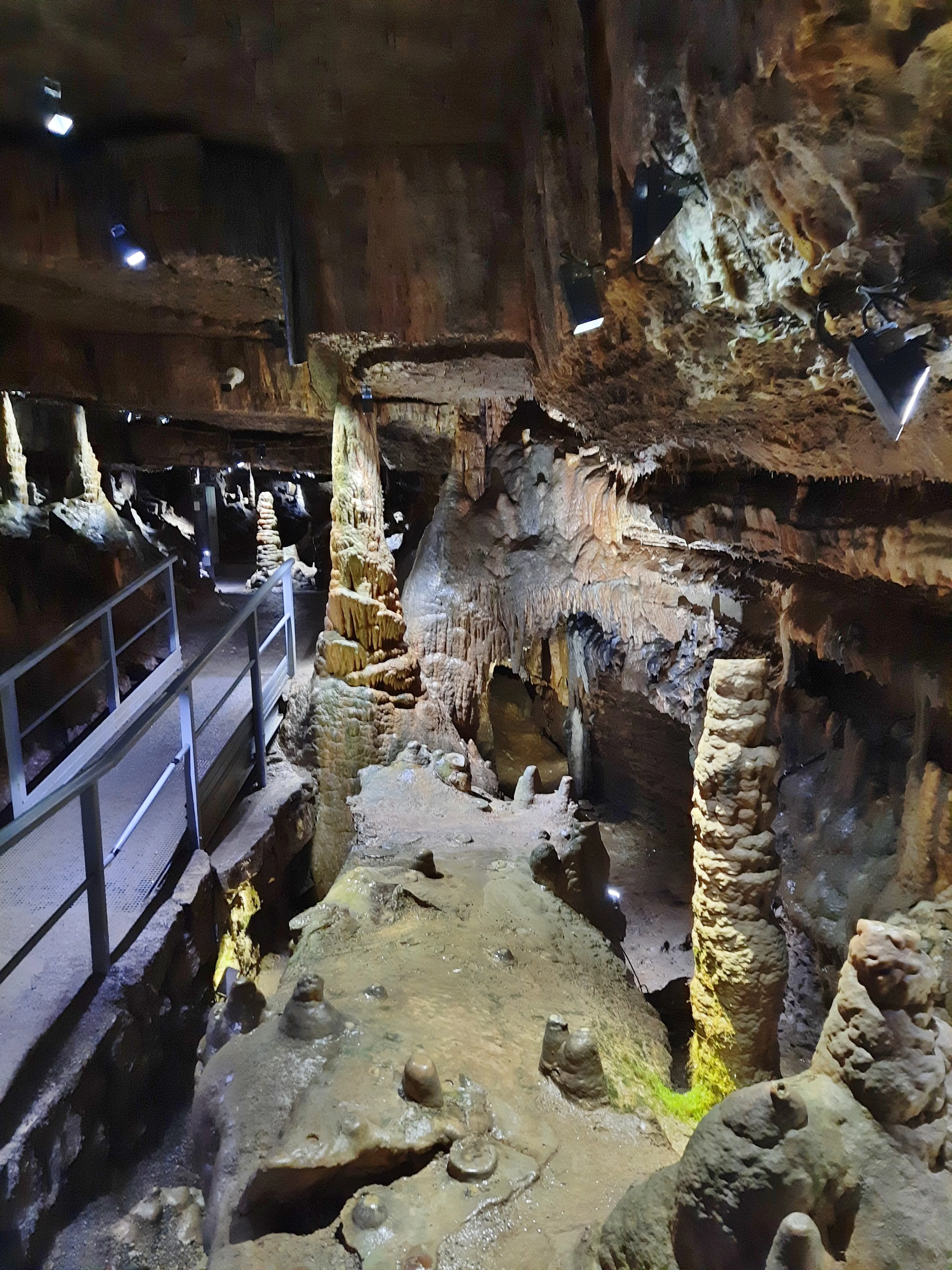
At a depth of about 10 metres, at the transition from the funnel to the pit and already in the Upper Muschelkalk, a prominent, broad stalactite has formed.
Hydrology
The surrounding ground drains via the pit.
User Comments (0)
No comments yet.
Be the first to share your experience!
Registered Explorations (0)
No explorations registered yet.
Register your visit to this cave!
Nearby caves
Contains information from Grottocenter (Wikicaves), grottocenter.org, made available under the Open Database License (ODbL 1.0, https://opendatacommons.org/licenses/odbl/1-0/), modified. · https://grottocenter.org/ui/entrances/65342 · data as of 2026 · Source: Grottocenter (Association Wikicaves), worldwide collaborative cave database (grottocenter.org), modified. CC BY-SA 3.0, https://creativecommons.org/licenses/by-sa/3.0/ Grottocenter (Wikicaves) · Text by BTH (Beschreibung) · adapted by Espeleoworld (normalized, translated); the adaptation is licensed CC BY-SA 3.0, https://creativecommons.org/licenses/by-sa/3.0/ · https://grottocenter.org/ui/entrances/65342 · data as of 2026 · Contains information from © OpenStreetMap contributors, www.openstreetmap.org, made available under the Open Database License (ODbL 1.0, https://opendatacommons.org/licenses/odbl/1-0/), modified. · names · obtained 2026-11-13 · https://www.openstreetmap.org/node/2507234887 · data as of 2026 · The derived data is available on request under the ODbL: [email protected]