
Sirgensteinhöhle
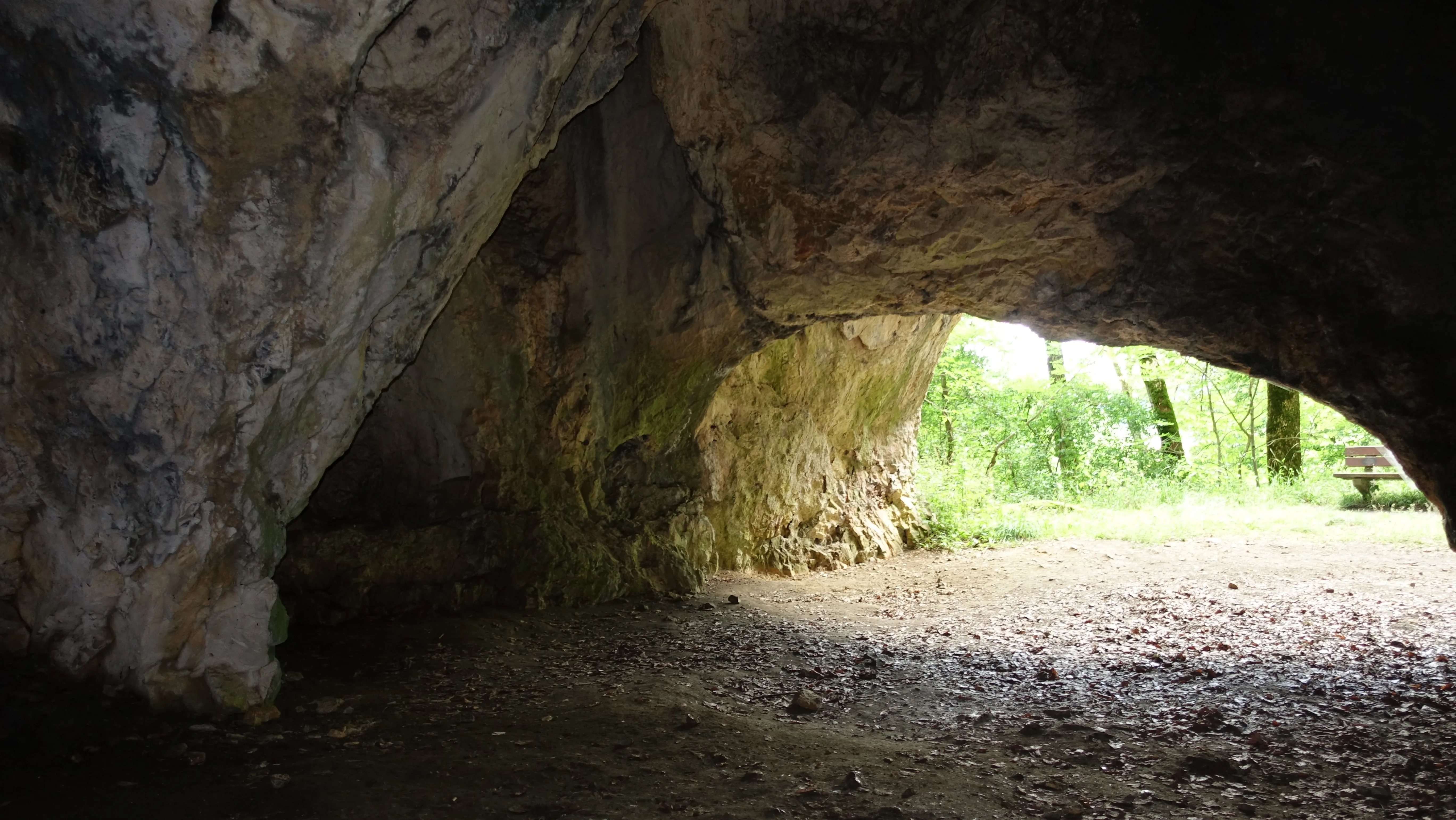
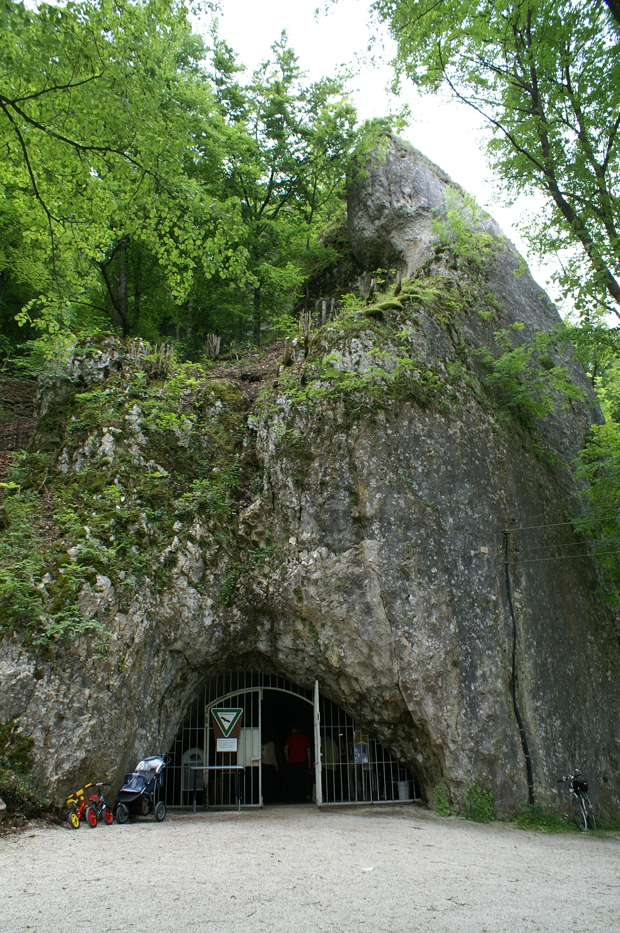
The Sirgenstein is a Stone Age dwelling site and a twenty-metre-high rock of the White Jura on the northwestern slope of the Ach valley.
EspeleoWorld
Sirgensteinhöhle
The Sirgenstein is a Stone Age dwelling site and a twenty-metre-high rock of the White Jura on the northwestern slope of the Ach valley.
Blaubeuren
Updated record
https://espeleoworld.com/en/c/sirgensteinhoehle-blaubeuren
Information can change. Always verify coordinates, access, weather, and cave conditions before setting out.
The Sirgenstein is a Stone Age dwelling site and a twenty-metre-high rock of the White Jura on the northwestern slope of the Ach valley.
Photos
© Franzfoto · CC BY-SA 4.0, https://creativecommons.org/licenses/by-sa/4.0/ · Wikimedia Commons · https://commons.wikimedia.org/wiki/File:Schelklingen_-_Sirgensteinh%C3%B6hle_im_Achtal.JPG
Description
Morphology
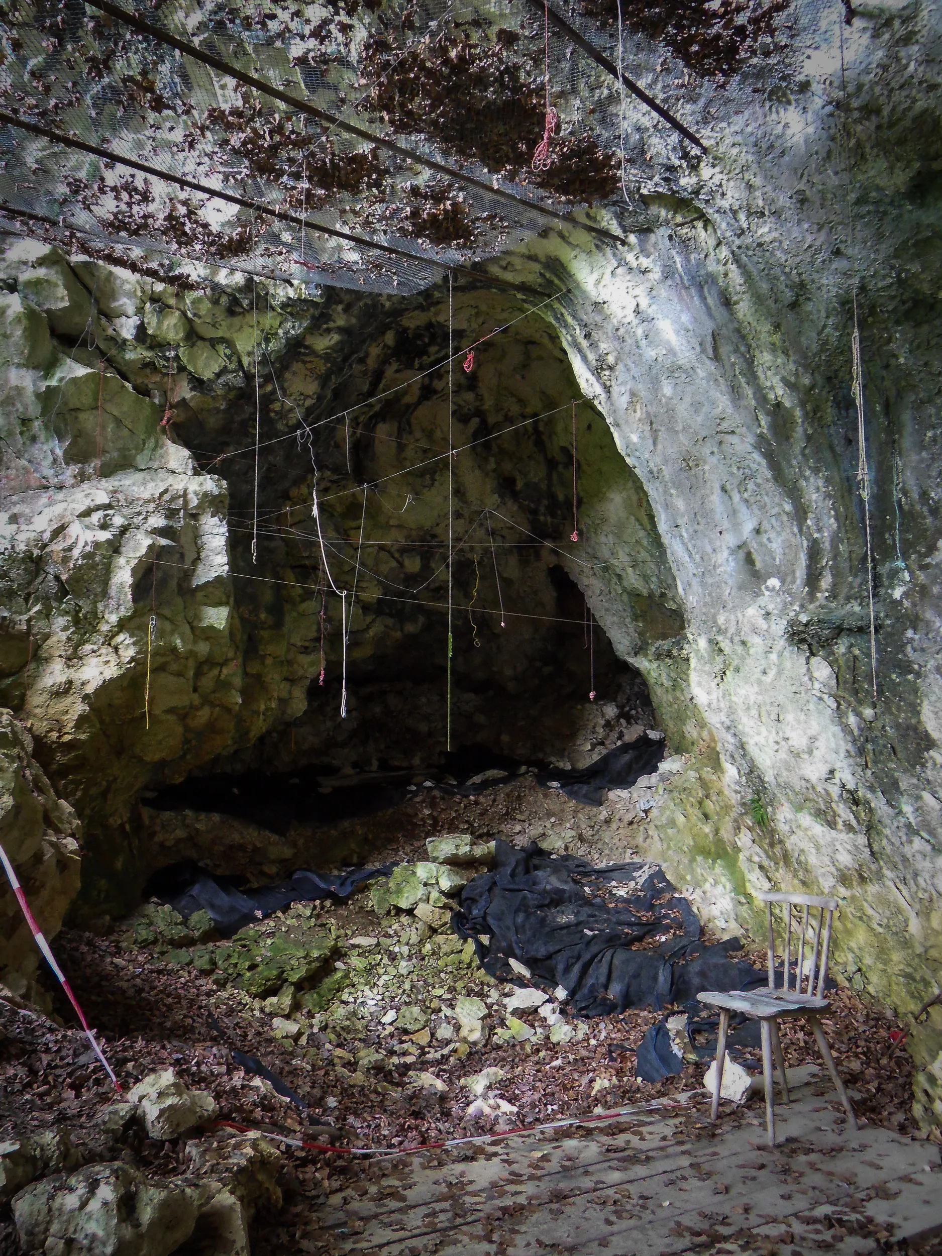
The Sirgenstein is a twenty-metre-high rock of the White Jura, situated at an elevation of 565 m above sea level. The karst cave is located in a sponge reef knoll roughly 35 metres above today's valley floor. The archaeological site is distinguished into the Sirgensteinhöhle, a Wohnhöhle (dwelling cave), as well as an abri on the south wall.
Other details
The Sirgenstein is a Stone Age dwelling site. The castle remnant Sirgenstein survives from the Middle Ages.
History
In 2017 the Sirgensteinhöhle was inscribed into the UNESCO World Heritage as part of the World Heritage site Caves and Ice Age Art in the Swabian Jura.
User Comments (0)
No comments yet.
Be the first to share your experience!
Registered Explorations (0)
No explorations registered yet.
Register your visit to this cave!
Nearby caves

Source: Geotopkataster Baden-Württemberg (Regierungspräsidium Freiburg – LGRB) (services.lgrb-bw.de), modified. Data licence Germany – attribution – version 2.0 (dl-de/by-2-0), https://www.govdata.de/dl-de/by-2-0 Datenquelle: Regierungspräsidium Freiburg - LGRB, www.lgrb-bw.de · data as of 2026 · Source: Wikidata – cave items (Germany) (www.wikidata.org), modified. CC0 1.0, https://creativecommons.org/publicdomain/zero/1.0/ Wikidata (CC0 1.0) · names · obtained 2026-11-13 · data as of 2026 · Source: German Wikipedia – article leads (cave descriptions) (de.wikipedia.org), modified. CC BY-SA 4.0, https://creativecommons.org/licenses/by-sa/4.0/ Wikipedia contributors (de.wikipedia.org), CC BY-SA 4.0 · Text by Wikipedia contributors (Sirgensteinhöhle) · adapted by Espeleoworld (normalized, translated); the adaptation is licensed CC BY-SA 4.0, https://creativecommons.org/licenses/by-sa/4.0/ · description · obtained 2026-11-13 · https://de.wikipedia.org/wiki/Sirgensteinh%C3%B6hle · data as of 2026