
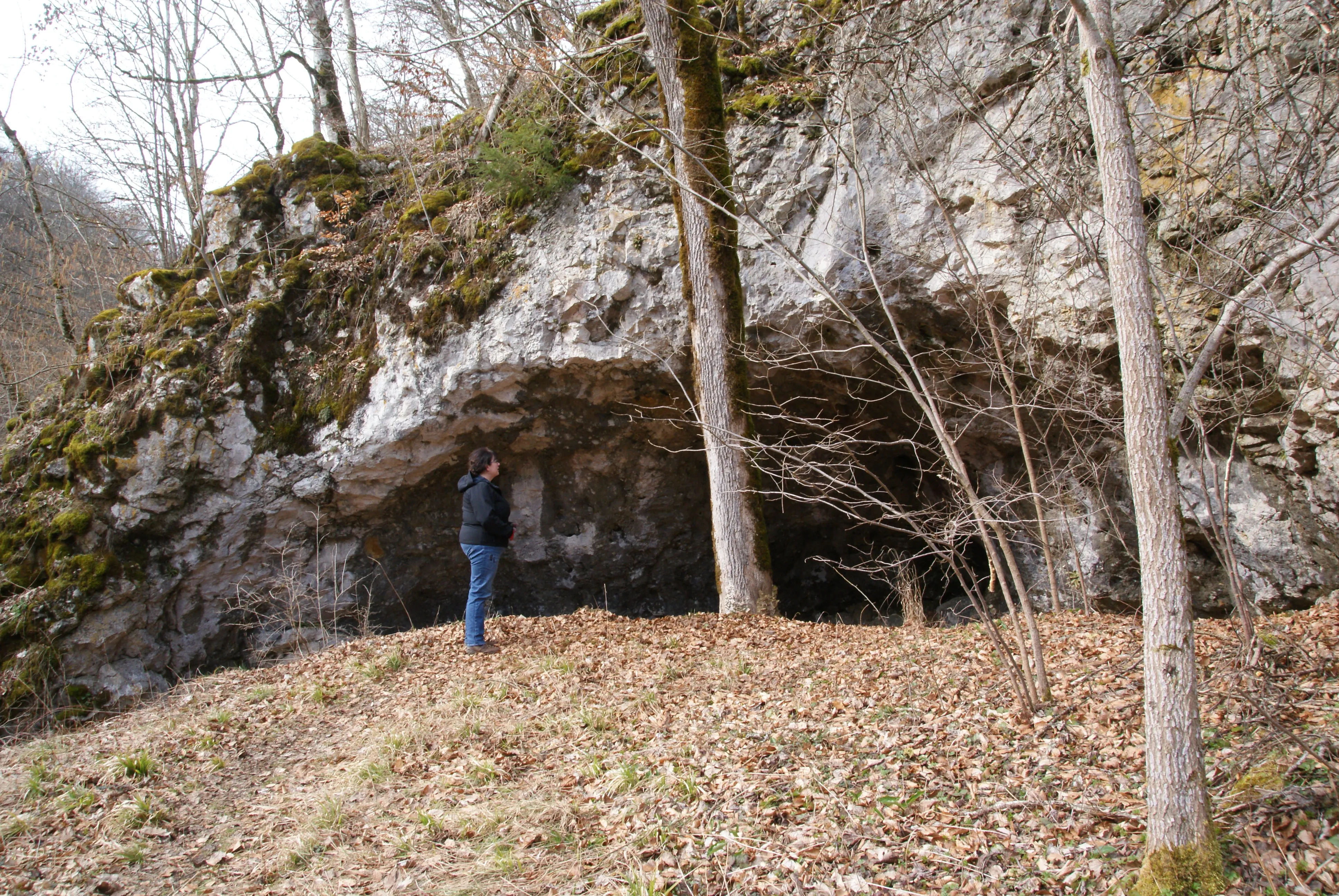
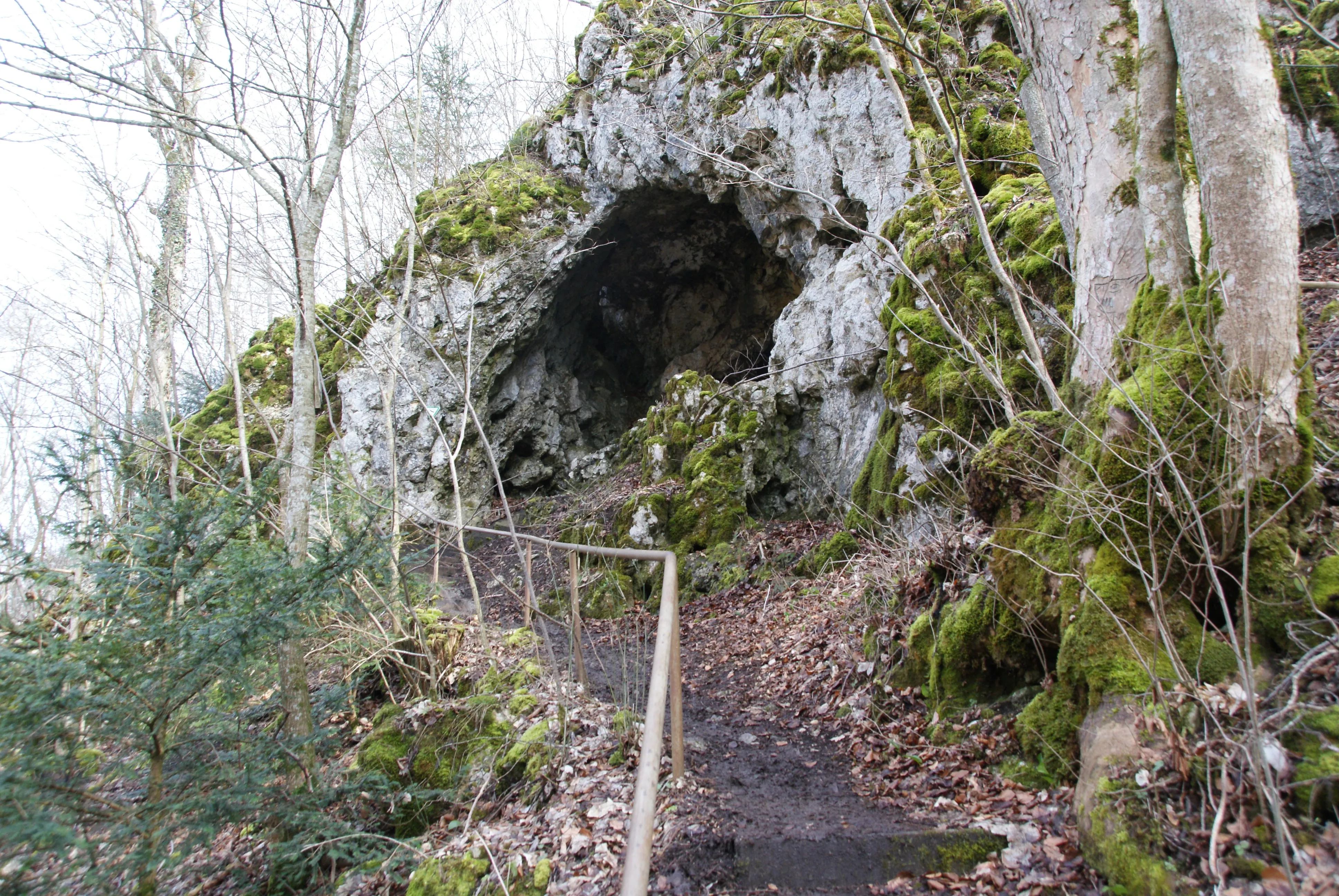
Schuntershöhle
The Schunterhöhle, also called Schonterhöhle, lies east of Briel at the foot of the Rappenstein on the Weilersteußlingen district.
EspeleoWorld
Schuntershöhle
The Schunterhöhle, also called Schonterhöhle, lies east of Briel at the foot of the Rappenstein on the Weilersteußlingen district.
Allmendingen
Updated record
https://espeleoworld.com/en/c/schuntershoehle-allmendingen
Information can change. Always verify coordinates, access, weather, and cave conditions before setting out.
The Schunterhöhle, also called Schonterhöhle, lies east of Briel at the foot of the Rappenstein on the Weilersteußlingen district.
Photos
© Karle3 · CC BY-SA 4.0, https://creativecommons.org/licenses/by-sa/4.0/ · Wikimedia Commons · https://commons.wikimedia.org/wiki/File:Kd3_20200308_04693_schonterhoehle.jpg
Description
Other details
The rock and the cave are protected under the name Rappenstein und Schunterhöhle as natural monument no. 84250020043 and under the name Felsrippe Rappenstein und Schuntershöhle am O-Hang des Rautals 1100 m NE von Briel also as a geotope.
History
It is said to have served around 1780 as a Wohnhöhle for a family named Schunter.
User Comments (0)
No comments yet.
Be the first to share your experience!
Registered Explorations (0)
No explorations registered yet.
Register your visit to this cave!
Nearby caves

Source: Geotopkataster Baden-Württemberg (Regierungspräsidium Freiburg – LGRB) (services.lgrb-bw.de), modified. Data licence Germany – attribution – version 2.0 (dl-de/by-2-0), https://www.govdata.de/dl-de/by-2-0 Datenquelle: Regierungspräsidium Freiburg - LGRB, www.lgrb-bw.de · data as of 2026 · Contains information from © OpenStreetMap contributors, www.openstreetmap.org, made available under the Open Database License (ODbL 1.0, https://opendatacommons.org/licenses/odbl/1-0/), modified. · names · obtained 2026-11-13 · https://www.openstreetmap.org/node/965211507 · data as of 2026 · Source: Wikidata – cave items (Germany) (www.wikidata.org), modified. CC0 1.0, https://creativecommons.org/publicdomain/zero/1.0/ Wikidata (CC0 1.0) · names · obtained 2026-11-13 · data as of 2026 · Source: German Wikipedia – article leads (cave descriptions) (de.wikipedia.org), modified. CC BY-SA 4.0, https://creativecommons.org/licenses/by-sa/4.0/ Wikipedia contributors (de.wikipedia.org), CC BY-SA 4.0 · Text by Wikipedia contributors (Schunterhöhle) · adapted by Espeleoworld (normalized, translated); the adaptation is licensed CC BY-SA 4.0, https://creativecommons.org/licenses/by-sa/4.0/ · description · obtained 2026-11-13 · https://de.wikipedia.org/wiki/Schunterh%C3%B6hle · data as of 2026 · The derived data is available on request under the ODbL: [email protected]