
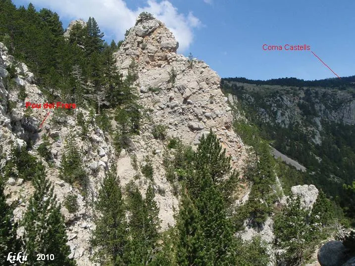
Pou del Frare
A 42-metre-long cave in Cabó (Boumort), with an entrance of 2.55 x 7.82 metres and a total elevation change of 15 metres (-6/+9).
EspeleoWorld
Pou del Frare
A 42-metre-long cave in Cabó (Boumort), with an entrance of 2.55 x 7.82 metres and a total elevation change of 15 metres (-6/+9).
Cabó · Alt Urgell
Length: 42 m · Depth: 15 m
Updated record
https://espeleoworld.com/en/c/pou-del-frare
Information can change. Always verify coordinates, access, weather, and cave conditions before setting out.
A 42-metre-long cave in Cabó (Boumort), with an entrance of 2.55 x 7.82 metres and a total elevation change of 15 metres (-6/+9).
Topographic
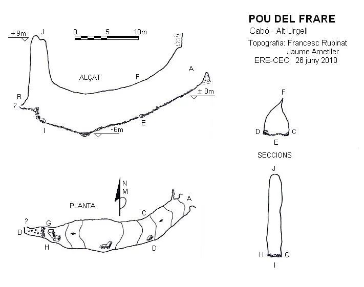

Espeleoindex · CC BY-NC 4.0, https://creativecommons.org/licenses/by-nc/4.0/ · Image © its author.
Photos

Espeleoindex · CC BY-NC 4.0, https://creativecommons.org/licenses/by-nc/4.0/ · Image © its author.
Description
Morphology
The entrance of 2.55 x 7.82 metres gives way to a gallery oriented towards the SW, but which immediately turns towards the W. The gallery begins with a slope of 29º that gradually softens until reaching -6 metres of depth; here begins a gentle slope climbing until reaching the end of the gallery, which maintains throughout its course regular dimensions of 5 x 6 metres. At this point it is necessary to climb a couple of metres to access a short conduit that ends in a narrow crawl, but the gallery rises to +14 metres of height. The total elevation change is 15 metres (-6/+9).
History
This cavity had been explored by J.M. Victoria in 1965 and cited in the magazine Montaña no. 100. In all later catalogues including the most current ones, this cavity is wrongly placed in the municipality of Conca de Dalt in the comarca of Pallars Jussà, instead of the municipality of Cabó in Alt Urgell, which is where it is really located.
User Comments (0)
No comments yet.
Be the first to share your experience!
Registered Explorations (0)
No explorations registered yet.
Register your visit to this cave!
Bibliography
- Senent, J.; Victoria, JM.(1965).-“Datos para el conocimiento espeleológico del macizo del Boumort”. Montaña (100):269-281 Centre Excursionista de Catalunya. Barcelona.
Nearby caves
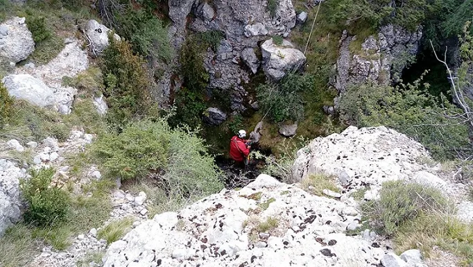
Pou dels Grallons
0.5 km · S
Abella de la Conca (Pallars Jussà)
1 topo.8 photos
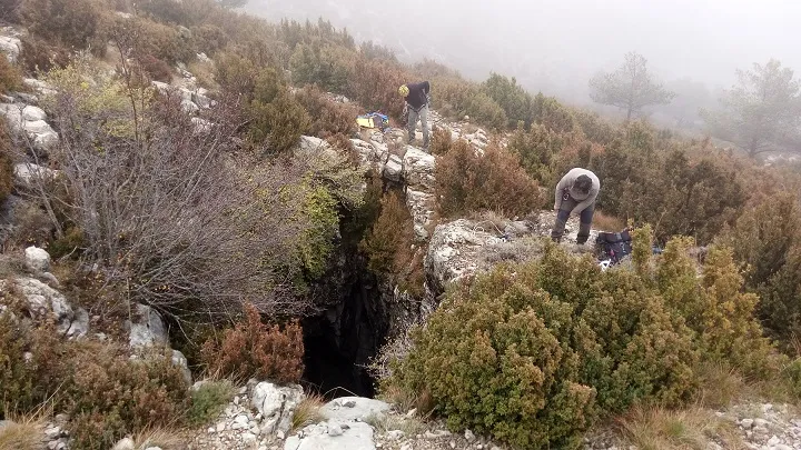
Grallera de la Gargalla
0.7 km · SW
Abella de la Conca (Pallars Jussà)
1 topo.3 photos
Avenc B-1 de Plandellet
0.7 km · SE
Cabó (Alt Urgell)
1 topo.2 photos
Avenc B-3 de Plandellet
0.9 km · SE
Cabó (Alt Urgell)
1 topo.1 photos
Source: Espeleoindex (espeleoindex.com), modified. CC BY-NC 4.0, https://creativecommons.org/licenses/by-nc/4.0/