
Larretxiki
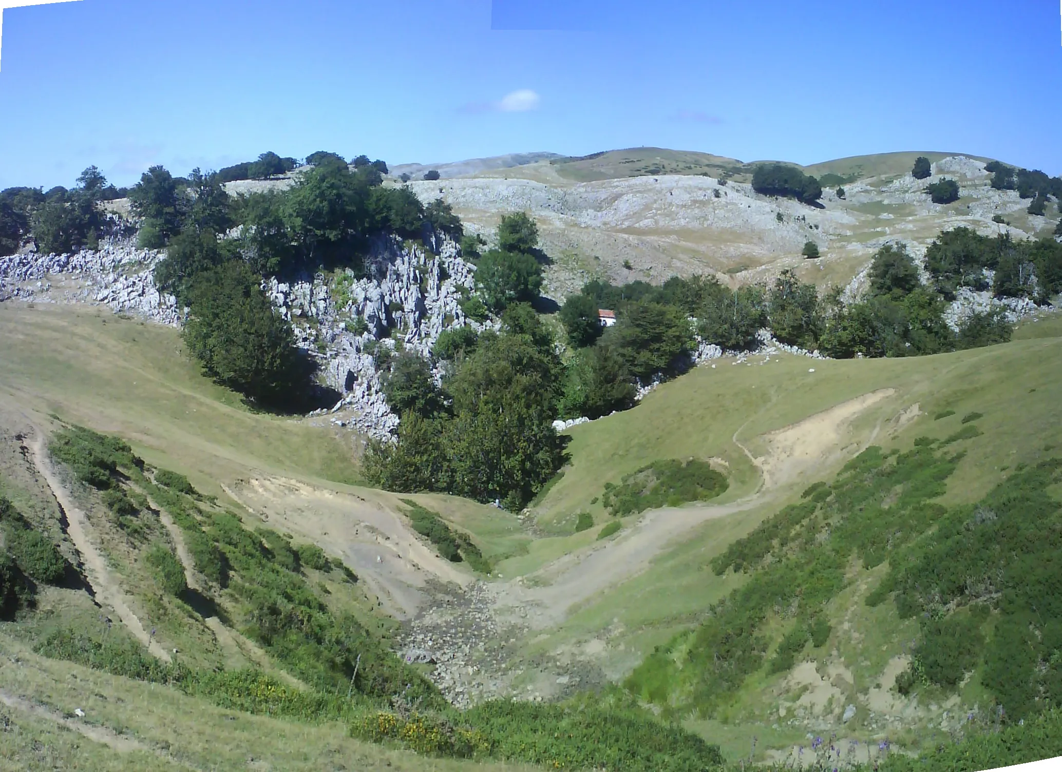
Pit in Aralar located in 1945 near the bordas of Larretxiki, with vertical drops and an active stream that reaches a depth of -446 m.
EspeleoWorld
Larretxiki
Pit in Aralar located in 1945 near the bordas of Larretxiki, with vertical drops and an active stream that reaches a depth of -446 m.
Sierra de Aralar
Length: 6815 m · Depth: 446 m
Updated record
https://espeleoworld.com/en/c/larretxiki-sierra-de-aralar
Information can change. Always verify coordinates, access, weather, and cave conditions before setting out.
Pit in Aralar located in 1945 near the bordas of Larretxiki, with vertical drops and an active stream that reaches a depth of -446 m.
Description
Morphology
The cavity consists of a vertical drop located near the bordas of Larretxiki, in Aralar, which after a series of vertical drops opens out into an impermeable plane with a southerly dip, reaching a depth of -446 m.
Hydrology
After a series of vertical drops accompanied by an active stream, the cavity opens out into an impermeable plane with a southerly dip.
Other details
Cavity located in 1945 by a group of naturalists (Aranzadi Zientzi Elkartea).
History
1978: Institución Príncipe de Viana & Departamento de Obras Publicas.
18-05-1985: Investigación G.E.S.
G.A.E.S.
ARANZADI
1989: ESTUDIO HIDROGEOLOGICO DEL SISTEMA KASRTICO DE ORMAZARRETA, Carlos Galán.
User Comments (0)
No comments yet.
Be the first to share your experience!
Registered Explorations (0)
No explorations registered yet.
Register your visit to this cave!
Nearby caves
Source: Gobierno de Navarra – Catálogo espeleológico de Navarra (datosabiertos.navarra.es), modified. CC BY 4.0, https://creativecommons.org/licenses/by/4.0/ Gobierno de Navarra · data as of 2022