
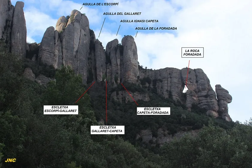
la Roca Foradada
Emblemàtica foradada de Montserrat
EspeleoWorld
la Roca Foradada
Emblemàtica foradada de Montserrat
Bruc, El · Anoia
Length: 13 m
Updated record
https://espeleoworld.com/en/c/la-roca-foradada-bruc
Information can change. Always verify coordinates, access, weather, and cave conditions before setting out.
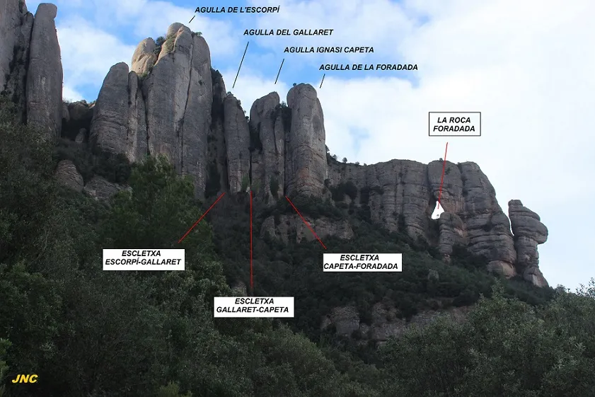
Emblematic perforated cave of Montserrat, a cavity that crosses the rocky crest from W to E, with triangular mouths at El Bruc and Marganell.
Topographic
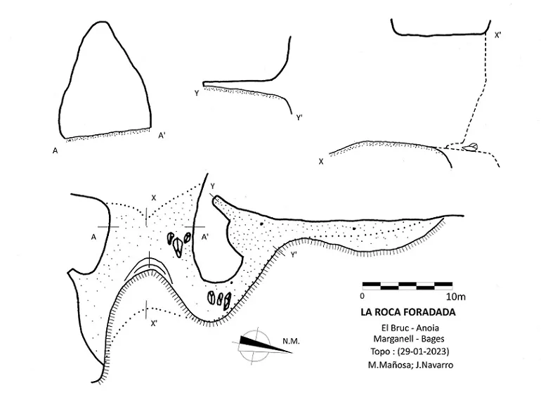
Espeleoindex · CC BY-NC 4.0, https://creativecommons.org/licenses/by-nc/4.0/ · Image © its author.
Photos
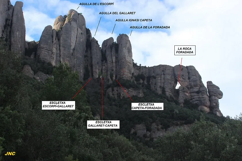
Espeleoindex · CC BY-NC 4.0, https://creativecommons.org/licenses/by-nc/4.0/ · Image © its author.
Description
Morphology
Cavity that crosses from W to E the rocky crest where it is located. Its mouths, of notable dimensions and triangular shape, cross the crest, each of them belonging to different municipalities. The one located to the W, through which access is gained and which is relatively flat, belongs to El Bruc; and the one located to the E, with an important central collapse, belongs to Marganell.
Progression
At the NE end of the Marganell mouth there is a passage between blocks that skirts the cliff along a suspended ledge, initially communicating with a small chamber with a low ceiling, and then continuing a few metres further in a Northerly direction.
User Comments (0)
No comments yet.
Be the first to share your experience!
Registered Explorations (0)
No explorations registered yet.
Register your visit to this cave!
Bibliography
- Totes les dades, topografia i fotografies han estat facilitades per Jordi Navarro i Montse Mañosa (Centre Excursionista de Castellar del Vallès)
Nearby caves
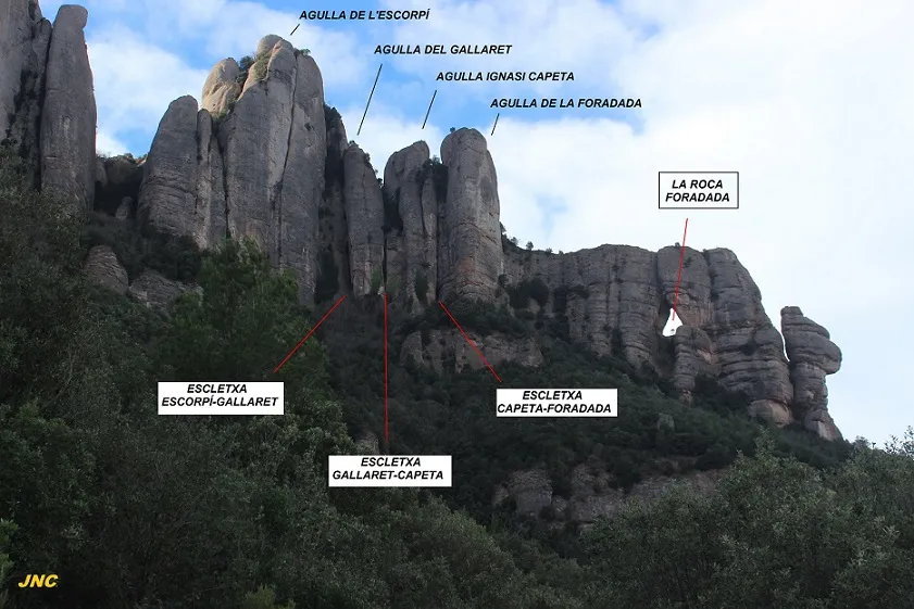


Source: Espeleoindex (espeleoindex.com), modified. CC BY-NC 4.0, https://creativecommons.org/licenses/by-nc/4.0/