
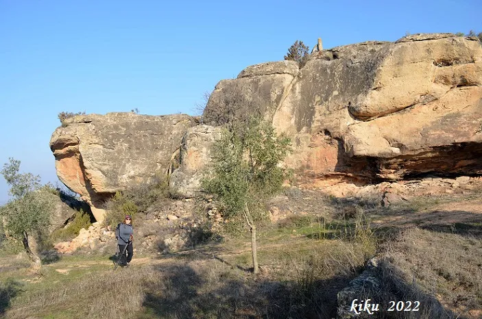
la Cova
A worked rock shelter at el Cogul, known and used since time immemorial, currently used as a hut.
EspeleoWorld
la Cova
A worked rock shelter at el Cogul, known and used since time immemorial, currently used as a hut.
Cogul, El · Garrigues
Length: 5 m
Updated record
https://espeleoworld.com/en/c/la-cova-cogul
Information can change. Always verify coordinates, access, weather, and cave conditions before setting out.
A worked rock shelter at el Cogul, known and used since time immemorial, currently used as a hut.
Topographic
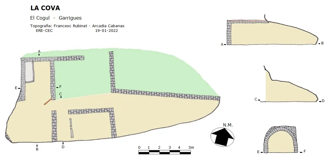
Espeleoindex · CC BY-NC 4.0, https://creativecommons.org/licenses/by-nc/4.0/ · Image © its author.
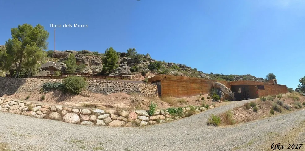
Photos
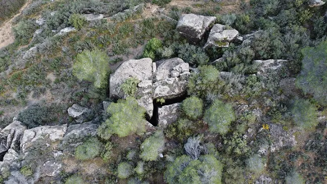
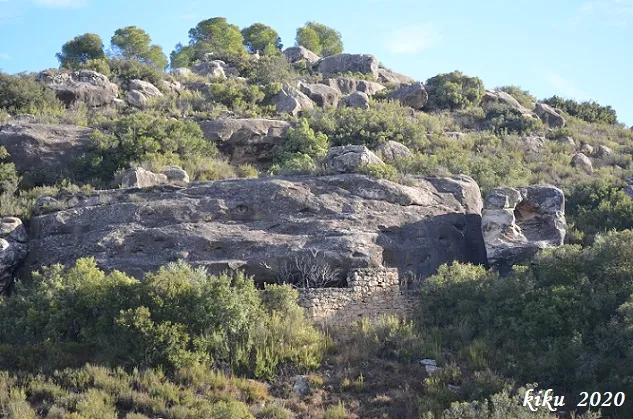
Espeleoindex · CC BY-NC 4.0, https://creativecommons.org/licenses/by-nc/4.0/ · Image © its author.
Description
Morphology
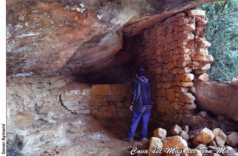
It is a worked rock shelter with a width of about 20 metres and a little more than 5 metres deep, with a height of about 2 metres at the porch, while at the back it is no more than 0.8 metres high. The interior is completely partitioned with walls almost half a metre thick; in one of the rooms we find a construction with a barrel vault. Outside there are remains of constructions that have been modified over time, reusing the stone of earlier constructions.
History
Known and used since time immemorial. It is currently used as a hut. It is already cited by Pascual Madoz in the 19th century, in the Diccionario Geográfico-Estadístico-Histórico de España y sus posesiones de Ultramar, while on page 24 he cites it as la Cova when placing it as a boundary with the municipal area of Albagés, on page 459 he calls it la Coba when referring to it as a municipal area within the jurisdiction of el Cogul.
User Comments (0)
No comments yet.
Be the first to share your experience!
Registered Explorations (0)
No explorations registered yet.
Register your visit to this cave!
Bibliography
- Esquerda Ribes, Mateu (2004).-”La cova de les Creus, la cova de la Pujola i el despoblat de la Cova al terme de Cogul”. IV Trobada d'Estudiosos de la Comarca de les Garrigues. 35-56. Les Borges Blanques.
- Madoz, Pascual (1895) "Articles sobre el Principat de Catalunya, al Diccionario Geográfico-Estadístico-Histórico de España y sus posesiones de Ultramar (Vol.I): 24-459 Curial. Barcelona.
- Totes les dades, coordenades topografia i fotografies han estat facilitades per Arcadia Cabanas i Francesc Rubinat (ERE-CEC).
Nearby caves


Source: Espeleoindex (espeleoindex.com), modified. CC BY-NC 4.0, https://creativecommons.org/licenses/by-nc/4.0/