

la Catedral
Large 25 m deep rock shelter in Peramola (Alt Urgell), formed along a softer stratum, with flowstone and floor coating.
EspeleoWorld
la Catedral
Large 25 m deep rock shelter in Peramola (Alt Urgell), formed along a softer stratum, with flowstone and floor coating.
Peramola · Alt Urgell
Length: 25 m
Updated record
https://espeleoworld.com/en/c/la-catedral
Information can change. Always verify coordinates, access, weather, and cave conditions before setting out.
Large 25 m deep rock shelter in Peramola (Alt Urgell), formed along a softer stratum, with flowstone and floor coating.
Topographic


Espeleoindex · CC BY-NC 4.0, https://creativecommons.org/licenses/by-nc/4.0/ · Image © its author.
Photos

Espeleoindex · CC BY-NC 4.0, https://creativecommons.org/licenses/by-nc/4.0/ · Image © its author.
Description
Morphology
Wide rock shelter about 25 metres deep by 22 wide that has taken advantage of a softer stratum for its development. The floor presents a gentle slope that steepens in its final stretch.
Speleothems
At the back of the rock shelter a small flowstone is observed.
Hydrology
In certain places of the cave a floor coating can be seen, superimposed on the clayey floor, the result of a certain hydrological reactivation in the form of dripping.
Other details
Vegetation occupies extensive parts of the cavity.
History
Known since time immemorial, it has been cited in numerous hiking itineraries.
User Comments (0)
No comments yet.
Be the first to share your experience!
Registered Explorations (0)
No explorations registered yet.
Register your visit to this cave!
Bibliography
- Dades, topografia i fotografies facilitades per Alfred Montserrat (ERE - CEC)
- Coordenades facilitades per Gerard Remolins
Nearby caves
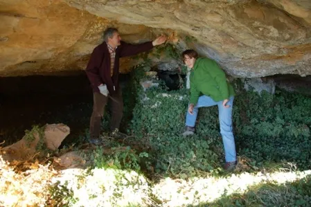
Espluga de la Font del Cerveró
0.3 km · S
Peramola (Alt Urgell)
1 topo.2 photos
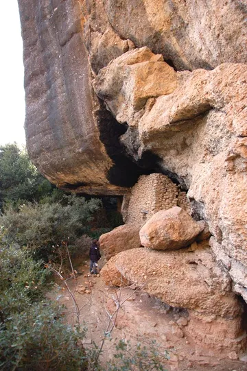
Espluga de la Masia del Cerveró
0.3 km · S
Peramola (Alt Urgell)
1 topo.5 photos
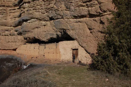
la Casa del Corb
0.5 km · SW
Peramola (Alt Urgell)
1 topo.4 photos
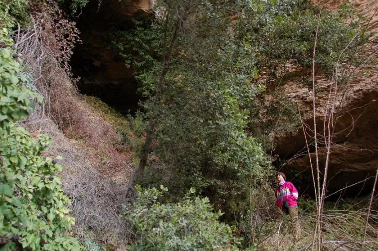
Balma de la Font del Begalot
0.7 km · SW
Peramola (Alt Urgell)
1 topo.6 photos
Source: Espeleoindex (espeleoindex.com), modified. CC BY-NC 4.0, https://creativecommons.org/licenses/by-nc/4.0/