
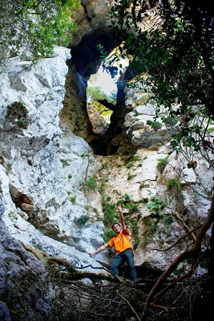
l'Ull de Montmajor
Curiosa foradada al bosc del Quer a prop de Montmajor, Montagut i Oix.
EspeleoWorld
l'Ull de Montmajor
Curiosa foradada al bosc del Quer a prop de Montmajor, Montagut i Oix.
Montagut i Oix · Garrotxa
Length: 35 m · Depth: 19 m
Updated record
https://espeleoworld.com/en/c/l-ull-de-montmajor
Information can change. Always verify coordinates, access, weather, and cave conditions before setting out.
Foradada in the bosc del Quer, near Montmajor, Montagut i Oix.
Topographic
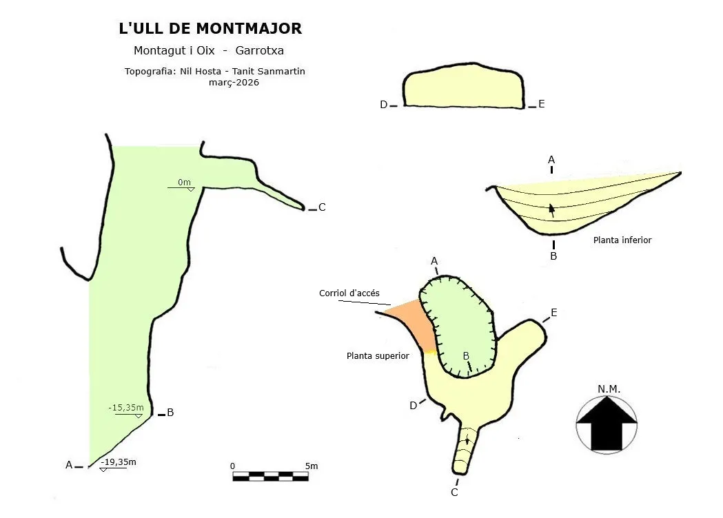
Espeleoindex · CC BY-NC 4.0, https://creativecommons.org/licenses/by-nc/4.0/ · Image © its author.
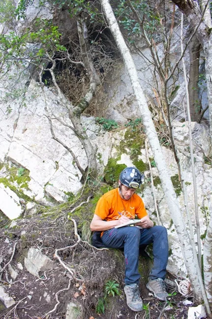
Photos
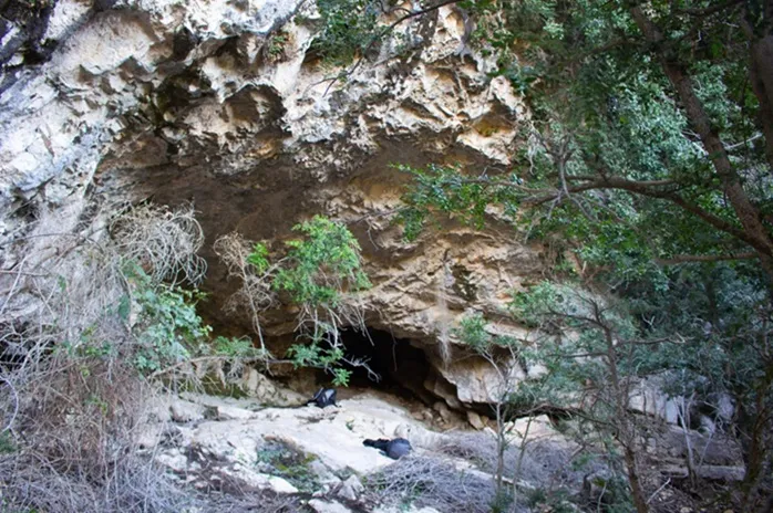
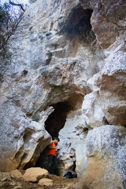
Espeleoindex · CC BY-NC 4.0, https://creativecommons.org/licenses/by-nc/4.0/ · Image © its author.
Description
Morphology
The Foradada has the shape of a shaft and descends 15 metres to the base in a ramp, covered with vegetation and remains of trees. At the upper part a small cave opens with two short conduits of about 15 metres in length. The total length is 35 metres with a drop of -19.35 m.
Progression
A small path gives access to the upper part of the Foradada.
History
Nil Hosta and Tanit Sanmartin located and explored it in March 2026.
User Comments (0)
No comments yet.
Be the first to share your experience!
Registered Explorations (0)
No explorations registered yet.
Register your visit to this cave!
Bibliography
Totes les dades, coordenades, topografia i fotografies han estat facilitades per Nil Hosta i Tanit Sanmartin. Abril de 2026.
Nearby caves


Source: Espeleoindex (espeleoindex.com), modified. CC BY-NC 4.0, https://creativecommons.org/licenses/by-nc/4.0/