
Iturrumburu
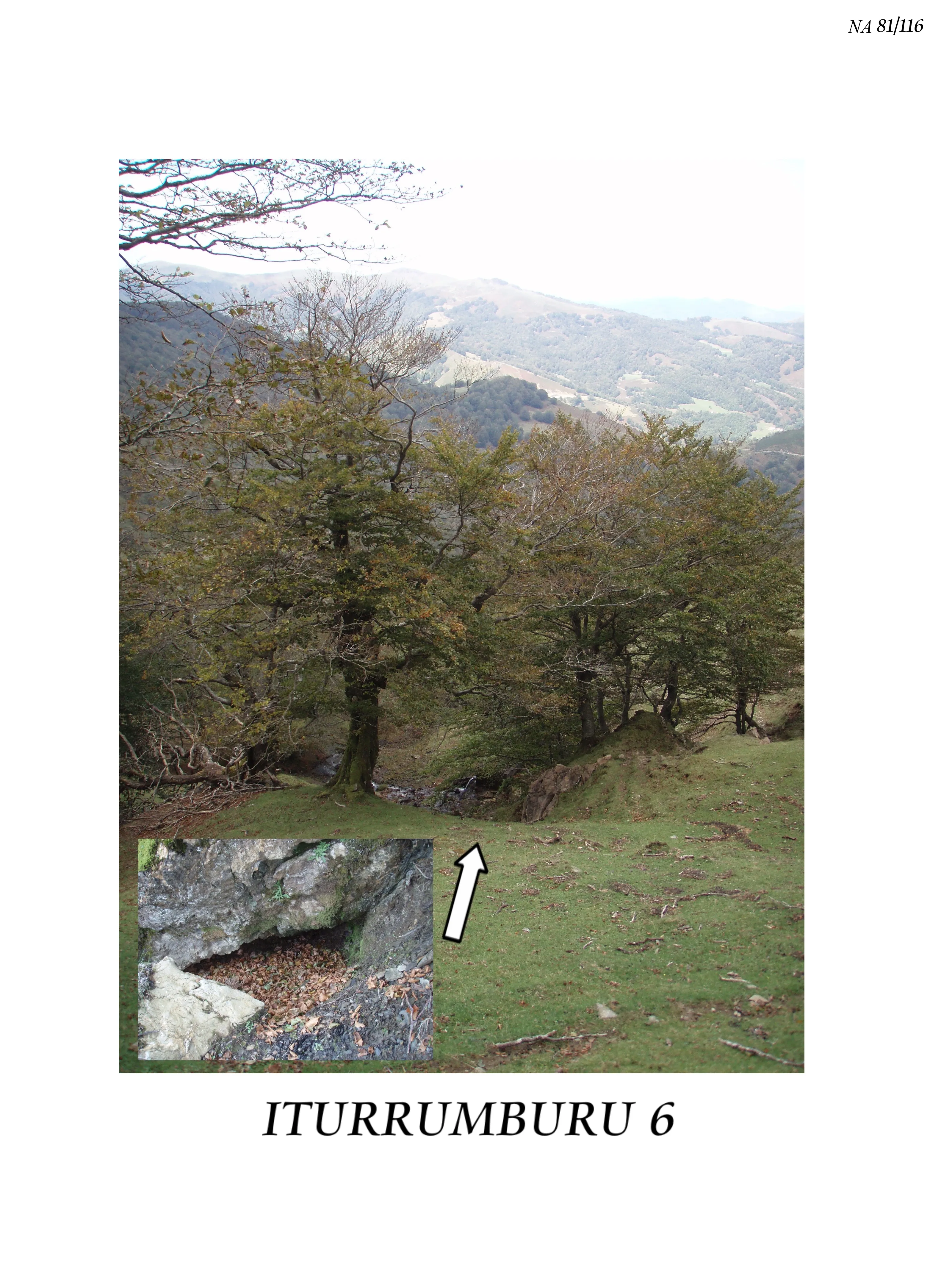
Cavity located southwest of Mount Iturrumburu, in an oval-shaped depression at about 1,200 m altitude, with a 16-metre shaft and a total development of -92 metres.
EspeleoWorld
Iturrumburu
Cavity located southwest of Mount Iturrumburu, in an oval-shaped depression at about 1,200 m altitude, with a 16-metre shaft and a total development of -92 metres.
Erro
Length: 308 m · Depth: 92 m
Updated record
https://espeleoworld.com/en/c/iturrumburu-erro-navarra-2
Information can change. Always verify coordinates, access, weather, and cave conditions before setting out.
Cavity located southwest of Mount Iturrumburu, in an oval-shaped depression at about 1,200 m altitude, with a 16-metre shaft and a total development of -92 metres.
Description
Morphology
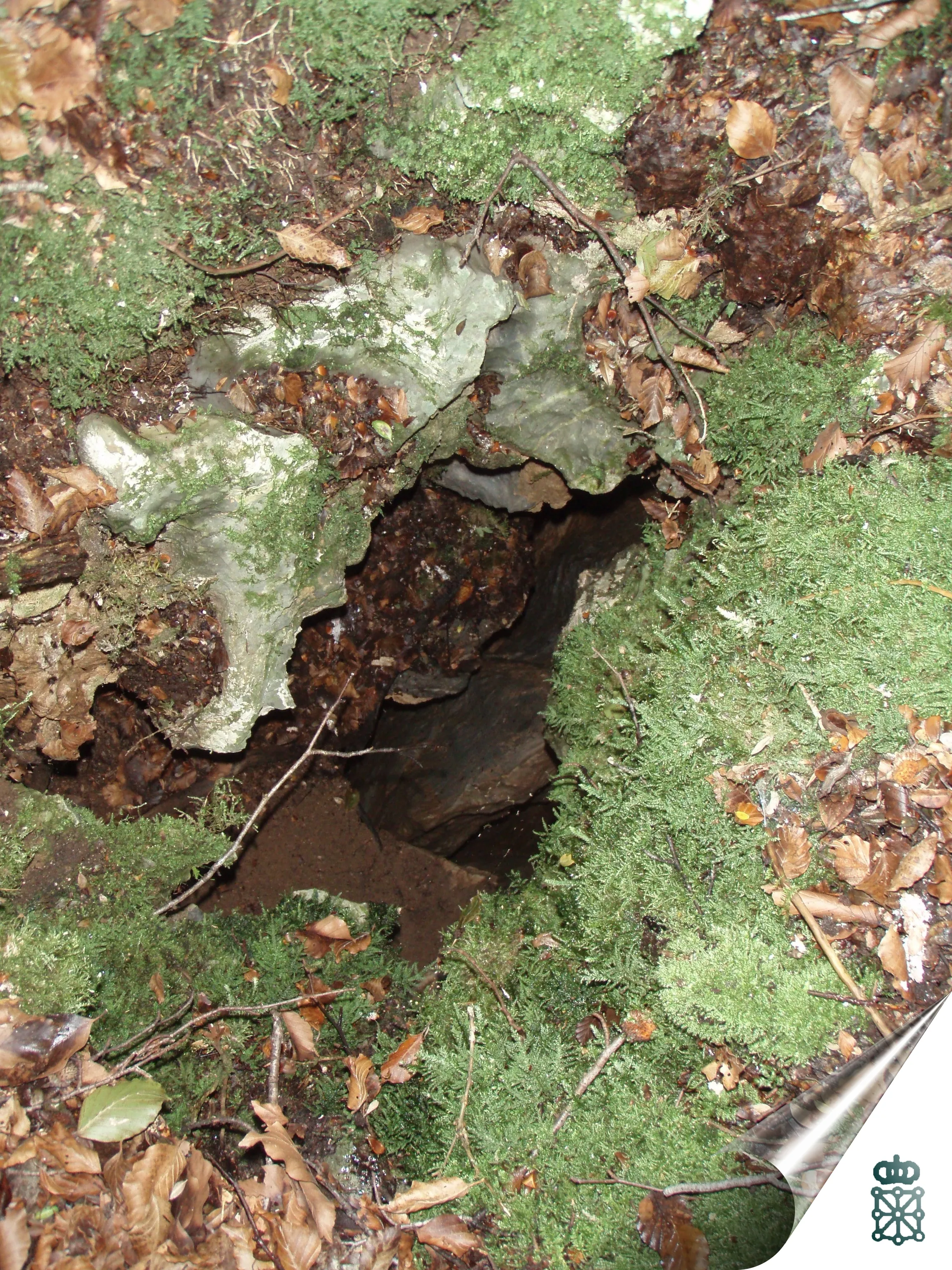
The cavity opens in an oval-shaped depression. A 16-metre shaft leads to a steep ramp; the steep slope continues after an R-5 and an R-4 and two verticals of 2 and 12 metres, with a total of -92 metres.
Progression
A 16-metre shaft leads to a steep ramp; the steep slope continues after an R-5 and an R-4 and two verticals of 2 and 12 metres, to a total of -92 metres.
History
In 2006 it was investigated by Sorogain G.Otxola.
User Comments (0)
No comments yet.
Be the first to share your experience!
Registered Explorations (0)
No explorations registered yet.
Register your visit to this cave!
Nearby caves
Source: Gobierno de Navarra – Catálogo espeleológico de Navarra (datosabiertos.navarra.es), modified. CC BY 4.0, https://creativecommons.org/licenses/by/4.0/ Gobierno de Navarra · data as of 2022