
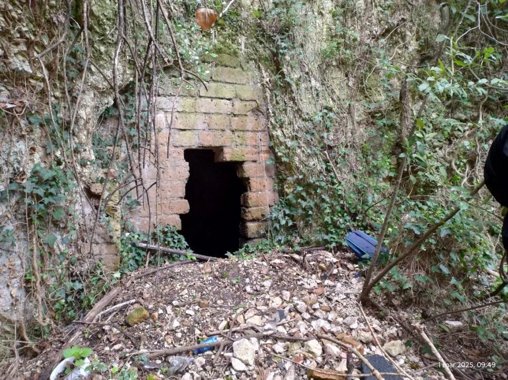
Grotta di San Casciano
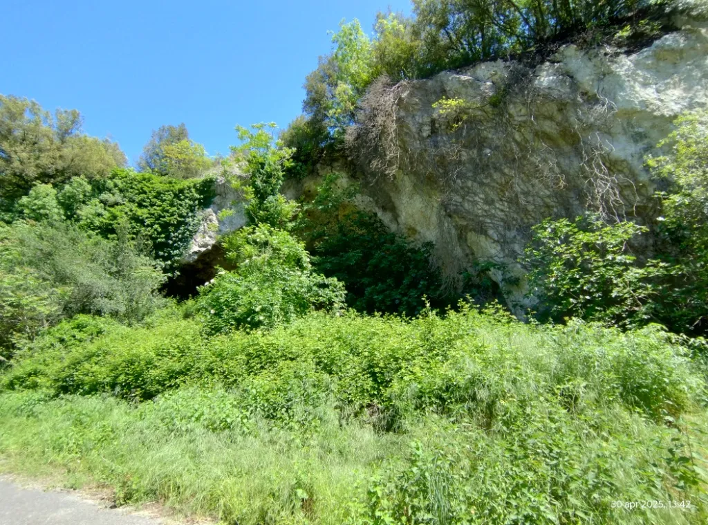
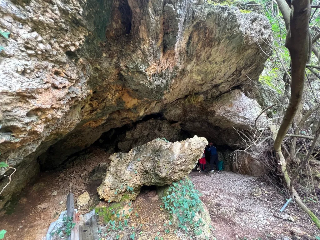
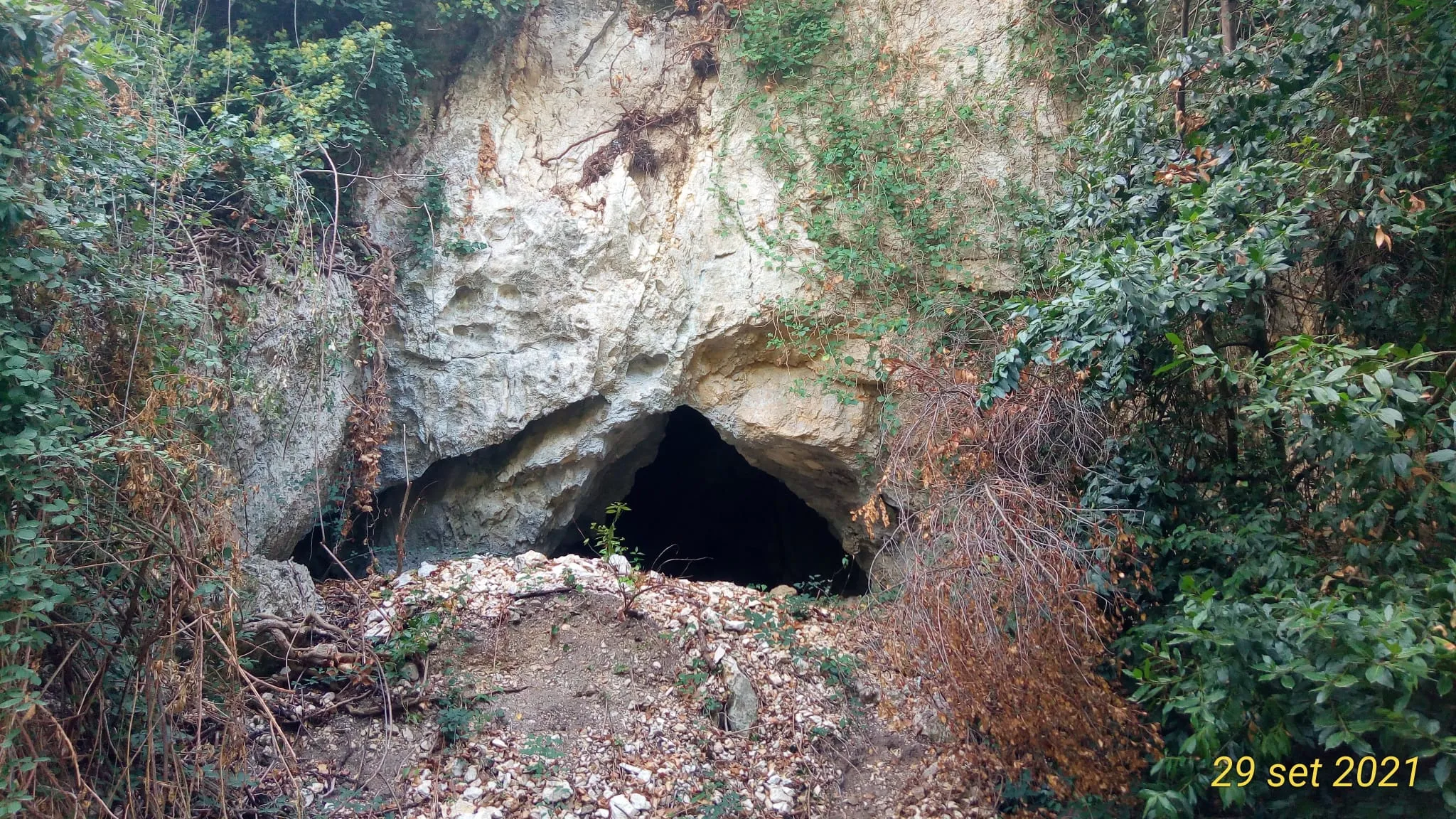
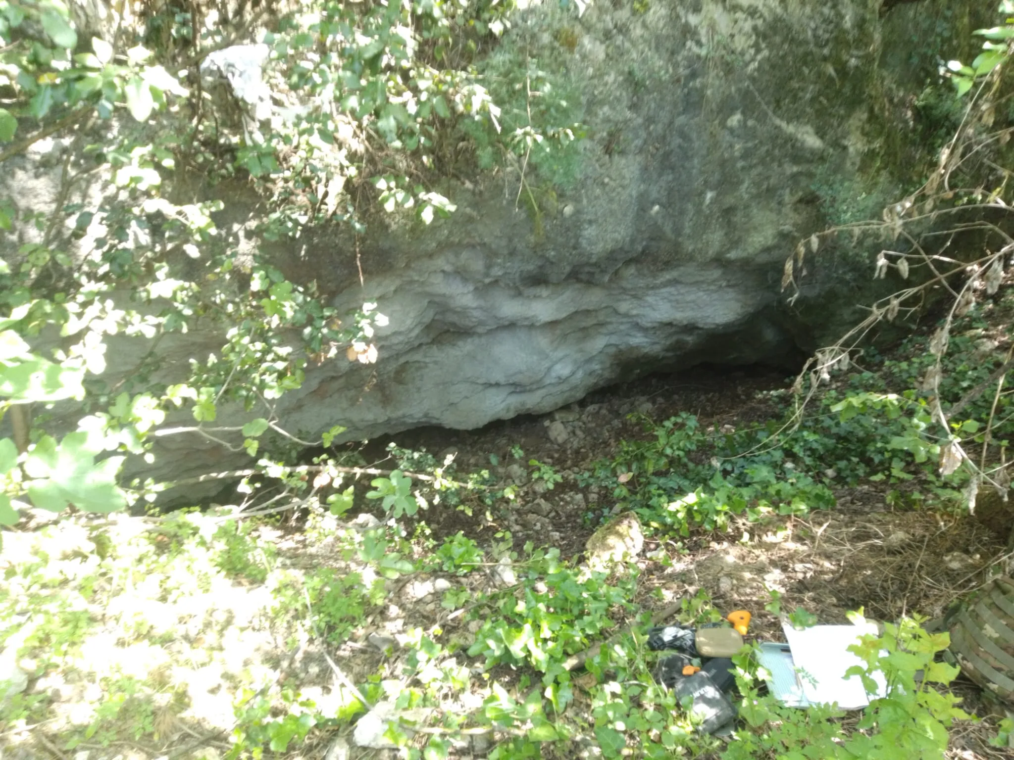
Cave with a predominantly horizontal trend, formed by three adjacent chambers and three entrances, one of which is suspended.
EspeleoWorld
Grotta di San Casciano
Cave with a predominantly horizontal trend, formed by three adjacent chambers and three entrances, one of which is suspended.
Narni
Length: 44 m
Updated record
https://espeleoworld.com/en/c/grotta-di-san-casciano-narni-terni
Information can change. Always verify coordinates, access, weather, and cave conditions before setting out.
Cave with a predominantly horizontal trend, formed by three adjacent chambers and three entrances, one of which is suspended.
Topographic
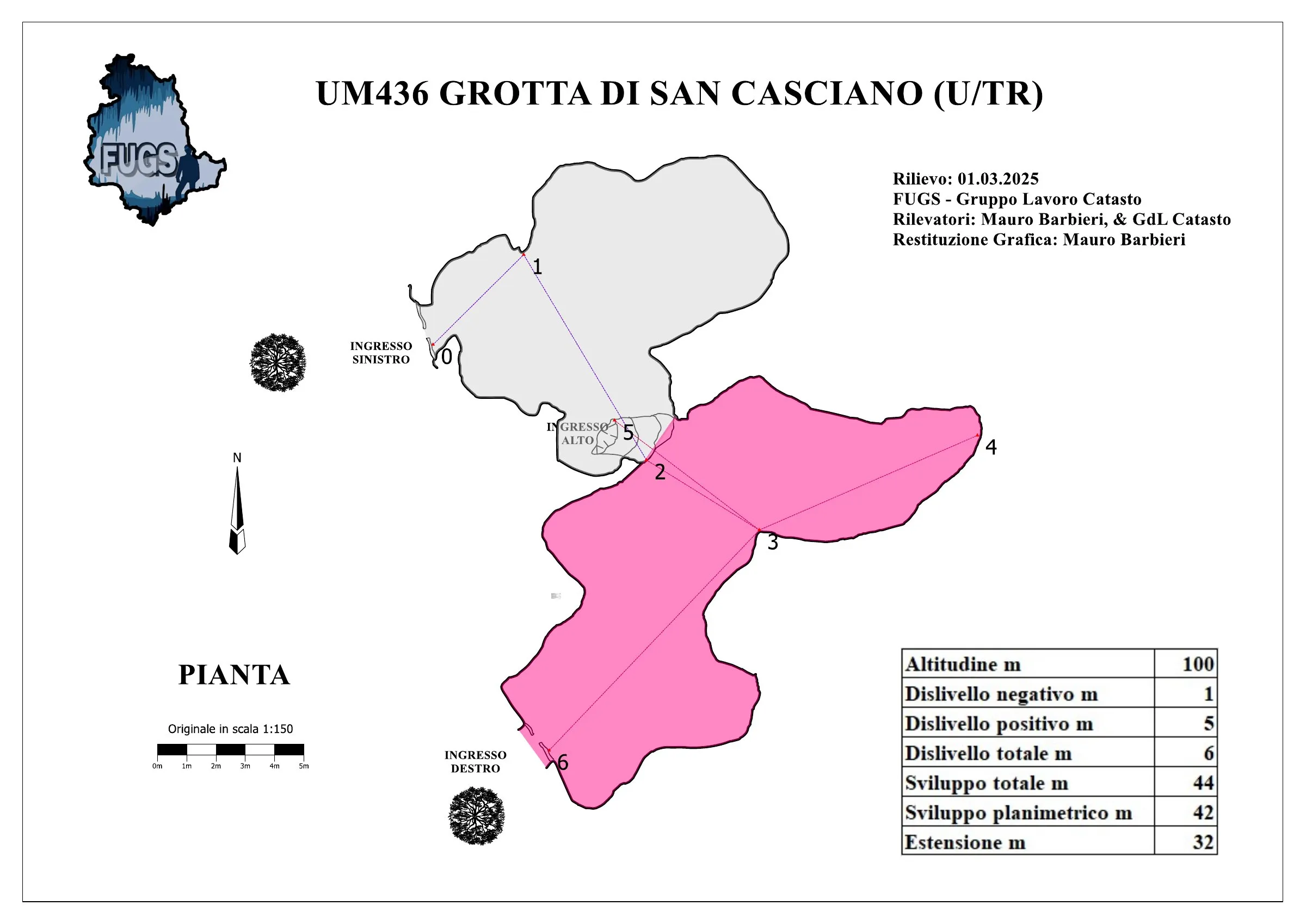
© Mauro Barbieri · CC BY-SA 4.0, https://creativecommons.org/licenses/by-sa/4.0/ · Federazione Umbra Gruppi Speleologici (FUGS), Catasto Speleologico dell'Umbria · https://catasto.fugs.it/index.php?mod=caves&op=view&id=436
Photos
© Mauro Barbieri · LicenseRef-FUGS-media-per-item · Federazione Umbra Gruppi Speleologici (FUGS), Catasto Speleologico dell'Umbria · https://catasto.fugs.it/index.php?mod=caves&op=view&id=436
Description
Morphology
Cave with three adjacent chambers and three entrances, one of which is suspended.
Trend: Predominantly horizontal.
Geology: MAS Limestone - Lower-Upper Jurassic (Sinemurian-Pliensbachian); massive limestones; massive.
Hydrology
Hydrology and meteorology: internal temperature 10 °C; humidity 87 %; no air flows; measurements coinciding with the external weather conditions on 01/03/2025.
Progression
Traversability: Easy; recommended period all year round.
Hazards: Dangerous access, Landslides/collapses.
Other details
Pollution: Solid waste, intensity High, solid waste of various kinds easily removable.
History
In the '60s the cave was inhabited by populations of nomads.
Protection of historical-archaeological sites: No.
Notes on the name: It takes its name from the nearby Monastery.
Bio
Chiroptera: Presence of one bat on 01/03/2025.
Other hypogean fauna: Various bone remains of small mammals, dolichopoda.
Environmental and biological protections: No.
User Comments (0)
No comments yet.
Be the first to share your experience!
Registered Explorations (0)
No explorations registered yet.
Register your visit to this cave!
Nearby caves


Source: Catasto Cavità Umbria (Federazione Umbra Gruppi Speleologici, FUGS) (catasto.fugs.it), modified. LicenseRef-FUGS-no-licence-stated Federazione Umbra Gruppi Speleologici (FUGS), Catasto Speleologico dell'Umbria · https://catasto.fugs.it/index.php?mod=caves&op=view&id=436 · data as of 2025 · Source: Catasto Cavità Umbria (Federazione Umbra Gruppi Speleologici, FUGS) (catasto.fugs.it), modified. LicenseRef-FUGS-media-per-item Federazione Umbra Gruppi Speleologici (FUGS), Catasto Speleologico dell'Umbria · data as of 2025