
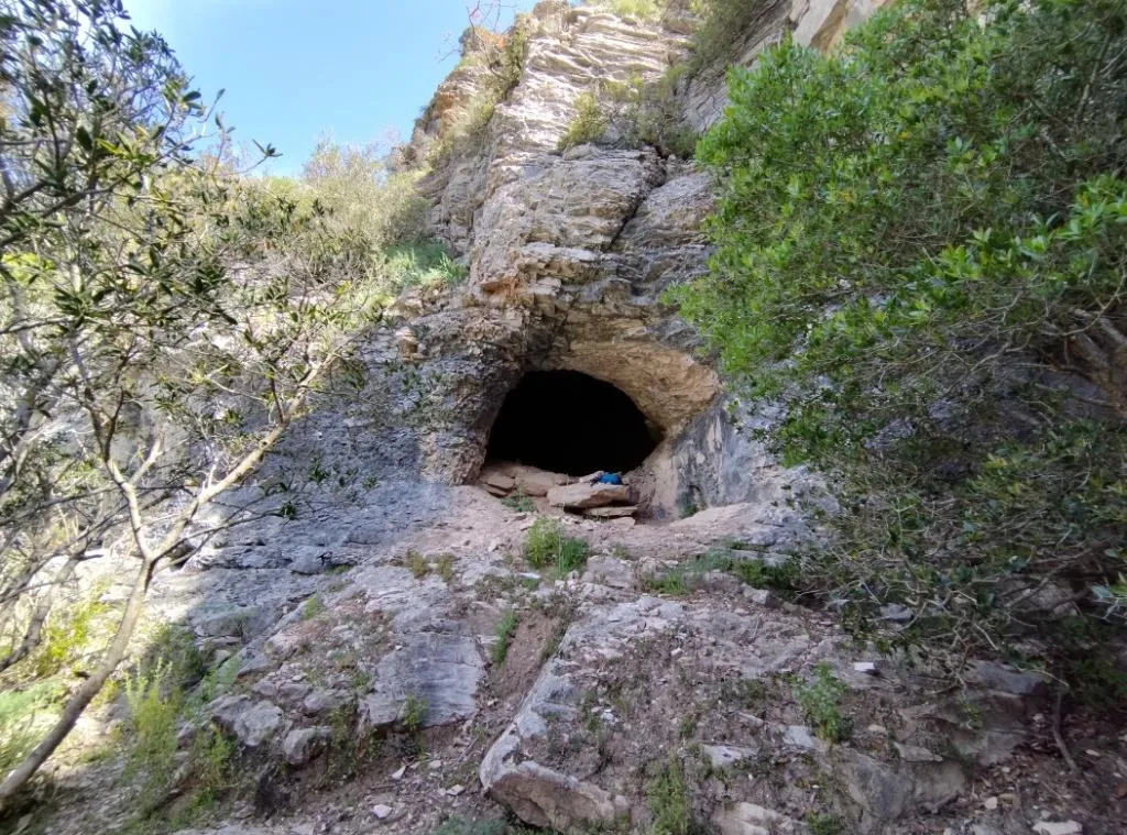
Grotta delle Capre
Horizontal cavity formed by a comfortable cavern elongated from east to west, with a low passage to the west and a comfortable opening to the south.
EspeleoWorld
Grotta delle Capre
Horizontal cavity formed by a comfortable cavern elongated from east to west, with a low passage to the west and a comfortable opening to the south.
Orvieto
Length: 30 m · Depth: 2 m
Updated record
https://espeleoworld.com/en/c/grotta-delle-capre-orvieto-terni
Information can change. Always verify coordinates, access, weather, and cave conditions before setting out.
Horizontal cavity formed by a comfortable cavern elongated from east to west, with a low passage to the west and a comfortable opening to the south.
Photos
© Mauro Barbieri · LicenseRef-FUGS-media-per-item · Federazione Umbra Gruppi Speleologici (FUGS), Catasto Speleologico dell'Umbria · https://catasto.fugs.it/index.php?mod=caves&op=view&id=226
Description
Morphology
The cavity is formed by a comfortable cavern elongated from east to west, communicating with the outside through a low passage to the west and a comfortable opening to the south. There is also a further small entrance, again to the west. Trend: horizontal. Passability: easy; recommended period: all year round.
Geology: SAA Scaglia Rossa - Upper Cretaceous-Middle Eocene (Turonian-Lutetian); stratified micritic limestones; stratified. The cave develops along an east-west oriented fracture.
Speleothems
No speleothems; earthy floor.
Hydrology
The cavity is dry.
Other details
It is in communication, not accessible at the moment, with the Grotta dei Cinghiali UM596.
History
Archaeology and palethnology: no excavations have been carried out in the cavity, but given the south-facing exposure, the nature of the ground, the comfort of the environment and the proximity of water, it is possible that a digging operation could lead to appreciable results, as have already been obtained in the nearby Grotte del Forello UM225 and di San Francesco UM52.
Protection of historical-archaeological sites: no.
User Comments (0)
No comments yet.
Be the first to share your experience!
Registered Explorations (0)
No explorations registered yet.
Register your visit to this cave!
Bibliography
PUCCIONI N. (1914) Altre ricerche preistoriche nei pressi di Titignano (Umbria) PUCCIONI N. (1916) Le caverne e i trogloditi preistorici
Nearby caves
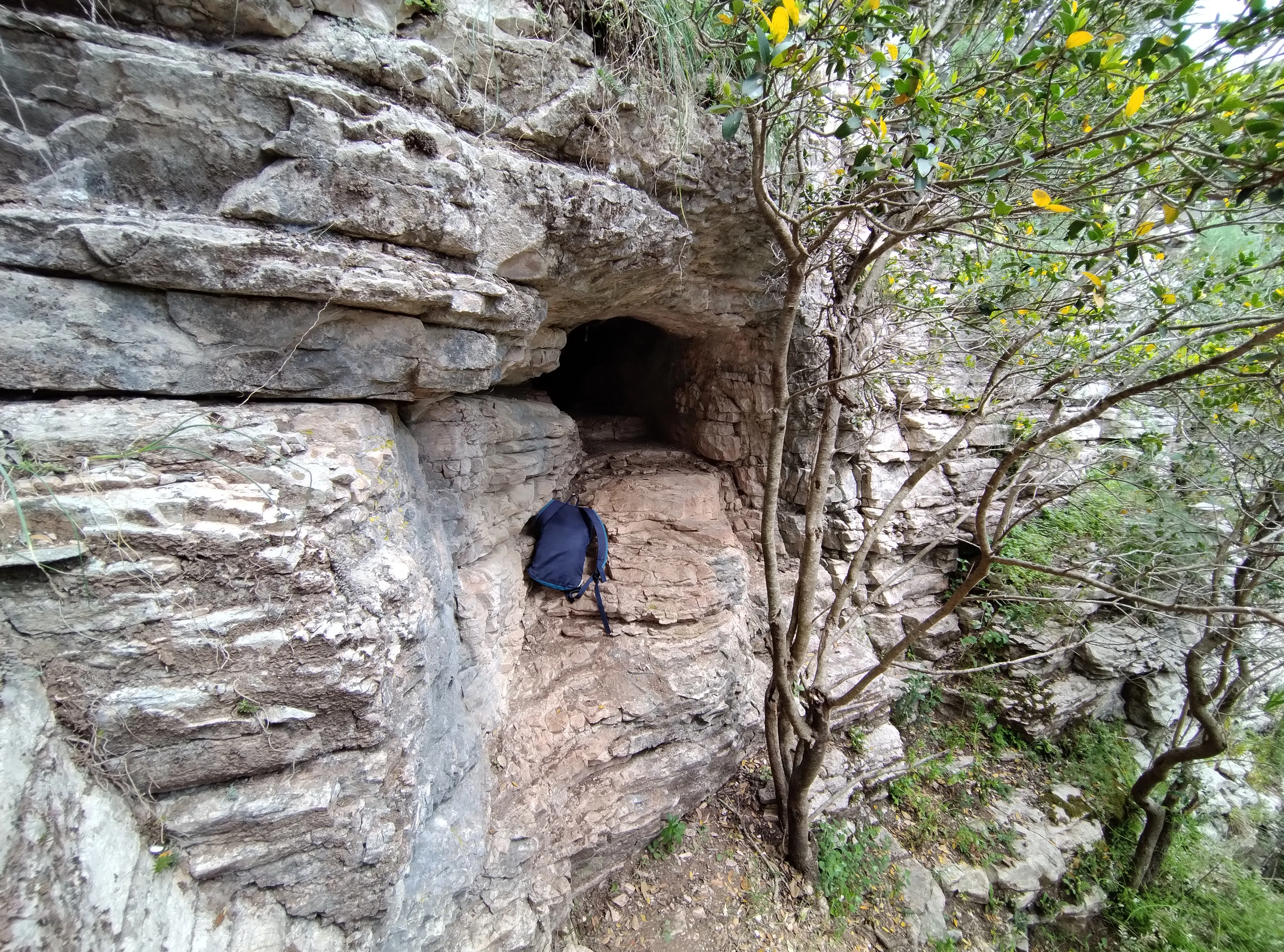
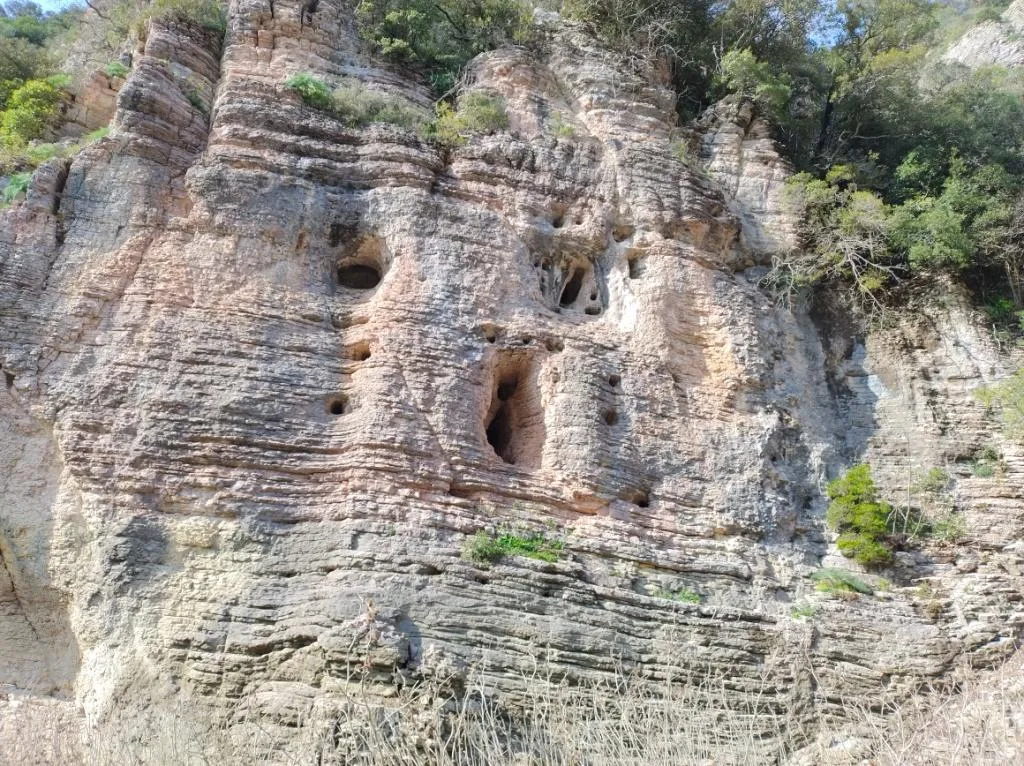
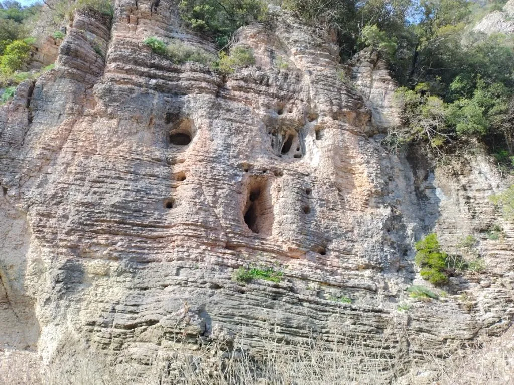

Source: Catasto Cavità Umbria (Federazione Umbra Gruppi Speleologici, FUGS) (catasto.fugs.it), modified. LicenseRef-FUGS-no-licence-stated Federazione Umbra Gruppi Speleologici (FUGS), Catasto Speleologico dell'Umbria · https://catasto.fugs.it/index.php?mod=caves&op=view&id=226 · data as of 2025 · Source: Catasto Cavità Umbria (Federazione Umbra Gruppi Speleologici, FUGS) (catasto.fugs.it), modified. LicenseRef-FUGS-media-per-item Federazione Umbra Gruppi Speleologici (FUGS), Catasto Speleologico dell'Umbria · data as of 2025