
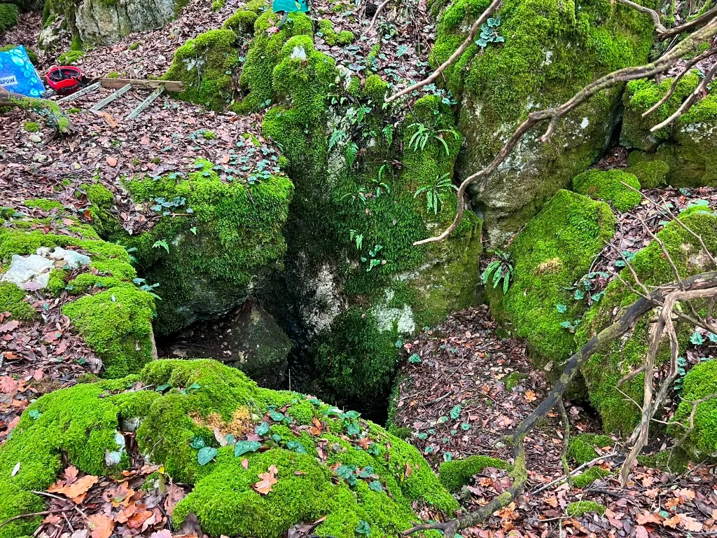
Grotta della Cesa Vecchia
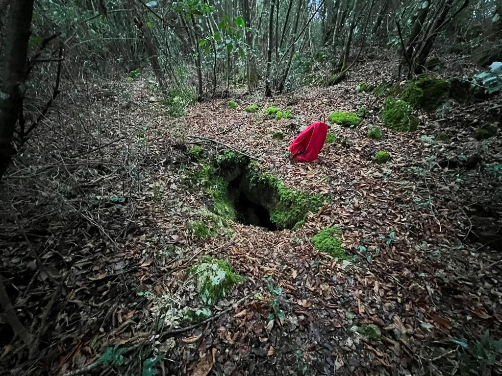
A cavity with a funnel-shaped entrance reachable in the bosco, accessed via a fissure pit of about 15 m and characterized by parallel galleries richly decorated with speleothems.
EspeleoWorld
Grotta della Cesa Vecchia
A cavity with a funnel-shaped entrance reachable in the bosco, accessed via a fissure pit of about 15 m and characterized by parallel galleries richly decorated with speleothems.
Narni
Length: 130 m · Depth: 40 m
Updated record
https://espeleoworld.com/en/c/grotta-della-cesa-vecchia-narni-terni
Information can change. Always verify coordinates, access, weather, and cave conditions before setting out.
A cavity with a funnel-shaped entrance reachable in the bosco, accessed via a fissure pit of about 15 m and characterized by parallel galleries richly decorated with speleothems.
Photos
© Roberto Pettirossi · LicenseRef-FUGS-media-per-item · Federazione Umbra Gruppi Speleologici (FUGS), Catasto Speleologico dell'Umbria · https://catasto.fugs.it/index.php?mod=caves&op=view&id=120
Description
Morphology
Cavity accessed via a fissure pit of about 15 m that develops following a main joint articulated by the presence of huge floor collapses that create several parallel galleries.
Trend: Horizontal/Vertical.
Geology: MAS Limestone Massiccio - Lower-Upper Jurassic (Sinemurian-Pliensbachian); massive limestones; Massive.
Speleothems
The cavity is richly decorated with speleothems.
Hydrology
Hydrology and meteorology: internal temperature 13.9 °C; humidity 99 %; no air flows; measurements on 03/01/2026.
Progression
Traversability: Demanding; recommended period All year round.
Rigging: Fixed.
Progression difficulty: Pits, Jumps, Slides, Squeezes, Ascents.
Hazards: Dangerous access, Landslides/collapses, Pits that discharge.
Other details
Pollution: Solid waste, Medium intensity.
History
Notes on the name: It takes its name from the local toponym.
User Comments (0)
No comments yet.
Be the first to share your experience!
Registered Explorations (0)
No explorations registered yet.
Register your visit to this cave!
Nearby caves

Source: Catasto Cavità Umbria (Federazione Umbra Gruppi Speleologici, FUGS) (catasto.fugs.it), modified. LicenseRef-FUGS-no-licence-stated Federazione Umbra Gruppi Speleologici (FUGS), Catasto Speleologico dell'Umbria · https://catasto.fugs.it/index.php?mod=caves&op=view&id=120 · data as of 2025 · Source: Catasto Cavità Umbria (Federazione Umbra Gruppi Speleologici, FUGS) (catasto.fugs.it), modified. LicenseRef-FUGS-media-per-item Federazione Umbra Gruppi Speleologici (FUGS), Catasto Speleologico dell'Umbria · data as of 2025