
Forat dels Graus
Small cave with a 28 m passage in Carme (l'Anoia), known for years and explored by the SIE – CEA in November 1981.
EspeleoWorld
Forat dels Graus
Small cave with a 28 m passage in Carme (l'Anoia), known for years and explored by the SIE – CEA in November 1981.
Carme · Anoia
Length: 28 m · Depth: 3 m
Updated record
https://espeleoworld.com/en/c/forat-dels-graus
Information can change. Always verify coordinates, access, weather, and cave conditions before setting out.
Small cave with a 28 m passage in Carme (l'Anoia), known for years and explored by the SIE – CEA in November 1981.
Topographic
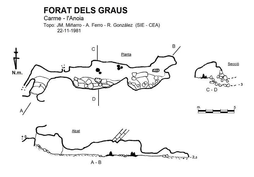
Espeleoindex · CC BY-NC 4.0, https://creativecommons.org/licenses/by-nc/4.0/ · Image © its author.
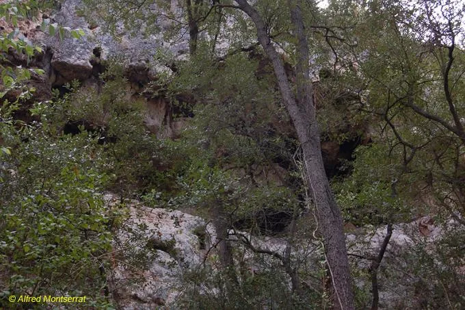
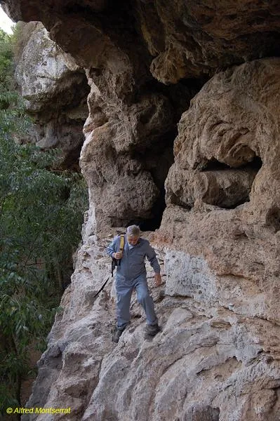
Photos
Espeleoindex · CC BY-NC 4.0, https://creativecommons.org/licenses/by-nc/4.0/ · Image © its author.
Description
Morphology
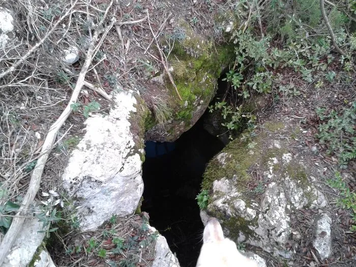
Through a small entrance one reaches a short 1 metre drop that gives access to a short, slightly descending slope. On the right a low-roofed conduit opens, only 3 metres long, which leads into a gallery 8 metres long, 4 wide and a couple of metres high. The right-hand side is occupied by an accumulation of blocks among which a small pit forms that ends immediately due to the accumulation of the very blocks where it originates. At the end of this gallery a new very low-roofed passage leads to the final gallery, with a low roof and also on the right-hand side with an accumulation of blocks very similar to the preceding gallery.
Speleothems
On the floor of this gallery two isolated points can be observed where two groups of stalagmites originate, thick but of little height.
History
Known for quite a few years, it appears on old hiking maps. In the most recent cartography it is called Forat de les Graus (in the CGC, badly georeferenced).
The only concrete data we know are those from the exploration by members of the SIE – CEA in November 1981.
User Comments (0)
No comments yet.
Be the first to share your experience!
Registered Explorations (0)
No explorations registered yet.
Register your visit to this cave!
Bibliography
- Dades inèdites arxiu J. M. Miñarro
- Coordenades i fotografia boca extretes de wikiloc:Ruta Orpí; (Autor: Pep Argelich)
Nearby caves


Source: Espeleoindex (espeleoindex.com), modified. CC BY-NC 4.0, https://creativecommons.org/licenses/by-nc/4.0/