
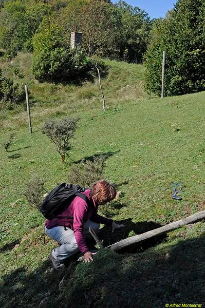
Esquerda del Coll de la Creueta
Esquerda de 18 metres de fondària a Camprodon (Ripollès)
EspeleoWorld
Esquerda del Coll de la Creueta
Esquerda de 18 metres de fondària a Camprodon (Ripollès)
Camprodon · Ripollès
Length: 30 m · Depth: 18 m
Updated record
https://espeleoworld.com/en/c/esquerda-del-coll-de-la-creueta
Information can change. Always verify coordinates, access, weather, and cave conditions before setting out.
An 18-metre-deep fissure in Camprodon (Ripollès), known to local people and explored on 13 March 1973 by the Grup Espeleològic Pedraforca.
Topographic
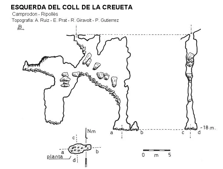
Espeleoindex · CC BY-NC 4.0, https://creativecommons.org/licenses/by-nc/4.0/ · Image © its author.
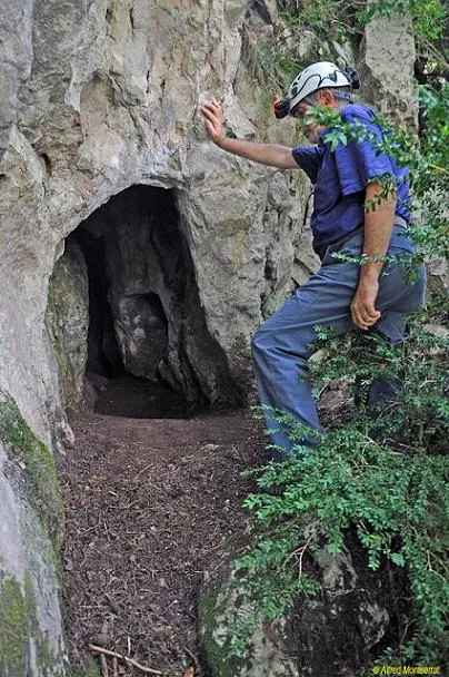
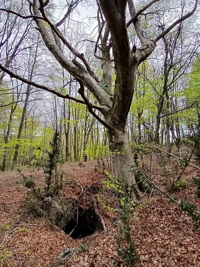
Photos
Espeleoindex · CC BY-NC 4.0, https://creativecommons.org/licenses/by-nc/4.0/ · Image © its author.
Description
Morphology
It is a narrow fissure, occupied by a large quantity of blocks wedged in the walls. A depth of -18 metres can be reached via the two shafts open at the ends of the main fissure.
History
This cavity was known to the local people. On 13 March 1973, it is explored by the Grup Espeleològic Pedraforca.
User Comments (0)
No comments yet.
Be the first to share your experience!
Registered Explorations (0)
No explorations registered yet.
Register your visit to this cave!
Bibliography
- Borràs,J;Miñarro,JM;Talavera,F.(1980).-”el Ripollès, la Garrotxa i l'Alt Empordà” Catàleg Espeleològic de Catalunya (vol.4):1-296. ed. Políglota. Barcelona.
- Montserrat Nebot, Alfred (1974).-”Alt Ter” Ildobates (V):12-54. Grup Espeleològic Pedraforca.
- Coordenades, fotos i dades facilitades per Alfred Montserrat (ERE-CEC).
Nearby caves


Source: Espeleoindex (espeleoindex.com), modified. CC BY-NC 4.0, https://creativecommons.org/licenses/by-nc/4.0/