
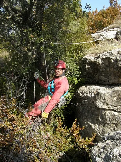
Esquerda del Camí de l'oró
Avenc de 47 metres de fondària als plans superiors del Montsec d'Ares, Àger.
EspeleoWorld
Esquerda del Camí de l'oró
Avenc de 47 metres de fondària als plans superiors del Montsec d'Ares, Àger.
Àger · Noguera
Length: 268 m · Depth: 47 m
Updated record
https://espeleoworld.com/en/c/esquerda-del-cami-de-l-oro
Information can change. Always verify coordinates, access, weather, and cave conditions before setting out.
A 47-metre-deep pit in the upper plans of the Montsec d'Ares, Àger, explored on 6 April 2008 by the Grup Espeleològic de Lleida.
Topographic
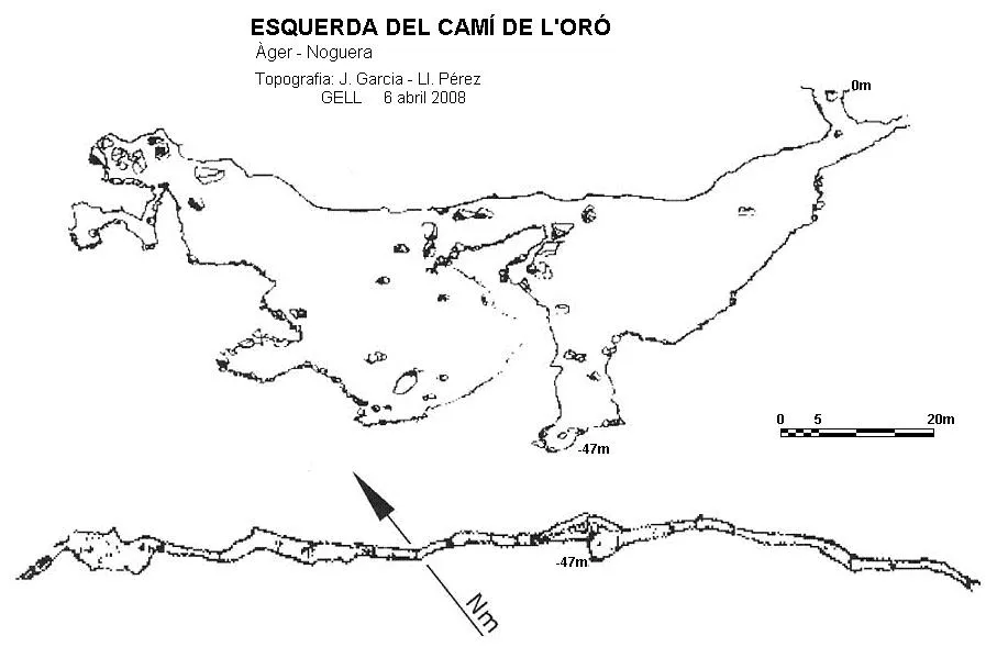
Espeleoindex · CC BY-NC 4.0, https://creativecommons.org/licenses/by-nc/4.0/ · Image © its author.
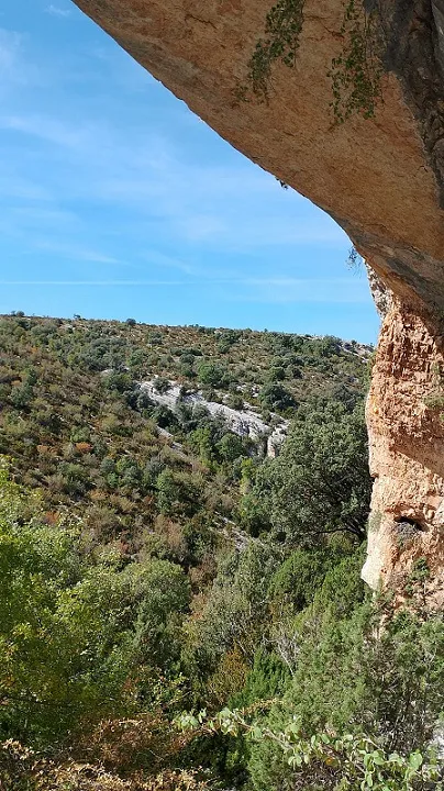
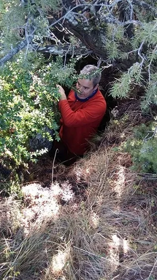
Photos
Espeleoindex · CC BY-NC 4.0, https://creativecommons.org/licenses/by-nc/4.0/ · Image © its author.
Description
Morphology
The entrance presents us with a series of short verticals that take us to the bottom of the fissure, where we continue descending by means of a ramp until it stabilises. The fissure descends by a new vertical until reaching the point of maximum depth of the cavity. The gallery at this point is considerably wider, taking an ascending direction until it ends choked under some large blocks. Further on there is a flat stretch of short length and a ledge with two small continuations. Above and also between blocks we manage to ascend until reaching a point where the presence of roots indicates proximity to the exterior.
Progression
To continue we will advance in opposition before descending the last vertical and climbing 8 metres to find the continuation. Between blocks and seeking a narrow passage that places us above the previous climb, the gallery leads us to a new vertical that we will descend by its widest part, until linking a few metres from the floor with a new drop that will leave us definitively at the bottom of the fissure. A few metres before, however, we will have to overcome these blocks, seeking the upper parts; a delicate passage between blocks must be passed. Immediately we see a new drop that after an ascending ramp places us in a flat stretch of short length, which obliges us to make a new climb in order to access a ledge with two small continuations. Below, after overcoming a narrow passage and a small drop, we advance between blocks until all the continuations are choked.
History
Discovered from the information provided by J.R. Segura while he was making the Guia Excursionista del Montsec d'Ares, members of the Grup Espeleològic de Lleida explore it on 6 April 2008.
User Comments (0)
No comments yet.
Be the first to share your experience!
Registered Explorations (0)
No explorations registered yet.
Register your visit to this cave!
Bibliography
- Valles, Jordi de. (2009).”Alt Urgell, Noguera, Pla d'Urgell, Segarra, Solsonès, Urgell” Catàleg Espeleològic de Catalunya (Volum 2):170. Espeleo Club de Gràcia-Federació Catalana d'Espeleologia.
- Fotografies facilitades per Josep Mª Molgó (GELL). Dades actualitzades el novembre de 2020.
Nearby caves


Source: Espeleoindex (espeleoindex.com), modified. CC BY-NC 4.0, https://creativecommons.org/licenses/by-nc/4.0/