
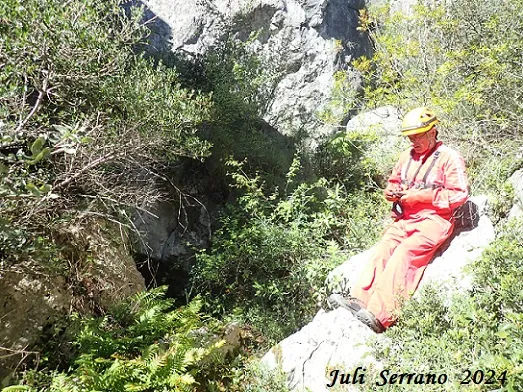
Esquerda de Penya Roja
Interessant conjunt d'esquerdes a la Penya Roja (Vilaverd).
EspeleoWorld
Esquerda de Penya Roja
Interessant conjunt d'esquerdes a la Penya Roja (Vilaverd).
Vilaverd · Conca de Barberà
Length: 40 m · Depth: 6 m
Updated record
https://espeleoworld.com/en/c/esquerda-de-penya-roja
Information can change. Always verify coordinates, access, weather, and cave conditions before setting out.
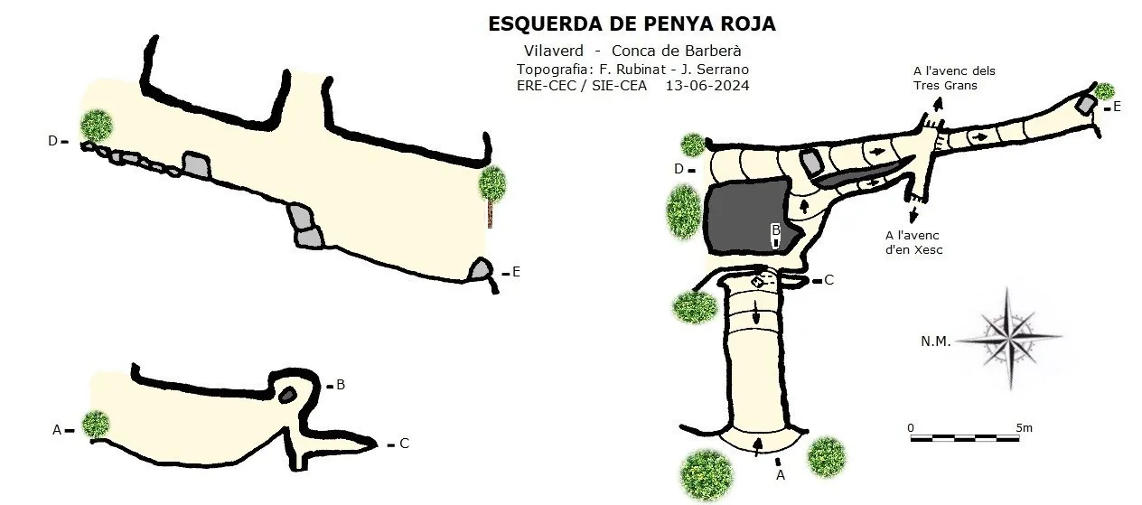
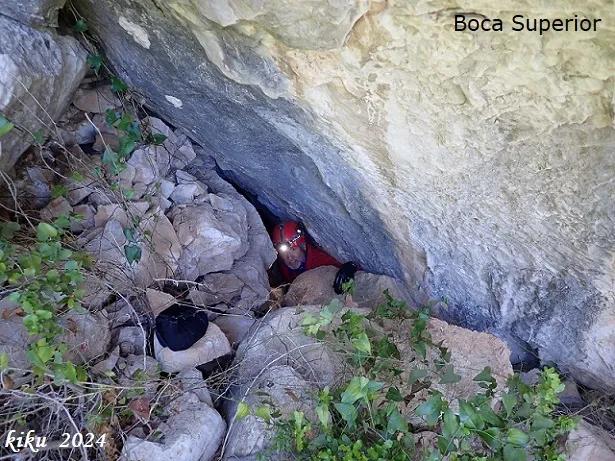
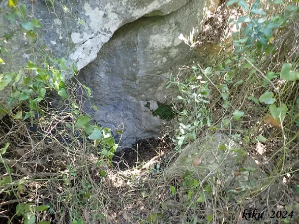
A set of fissures at the Penya Roja (Vilaverd), structured along two main perpendicular intersecting joints, with parallel secondary fissures.
Topographic

Espeleoindex · CC BY-NC 4.0, https://creativecommons.org/licenses/by-nc/4.0/ · Image © its author.
Photos

Espeleoindex · CC BY-NC 4.0, https://creativecommons.org/licenses/by-nc/4.0/ · Image © its author.
Description
Morphology
It is located at the Penya Roja and is structured along two main perpendicular intersecting joints, forming some secondary fissures parallel to the previous ones. The most principal axis follows a direction S10N, while the perpendicular ones follow the direction E10W. The fissure develops in some stretches covered and in others open to the sky.
Progression
Through the E access it emerges just beside the mouth of the avenc dels Tres (pit of the Tres) Grans, while through the end of the W side, one reaches the avenc d'en Xesc.
History
Known since long ago.
User Comments (0)
No comments yet.
Be the first to share your experience!
Registered Explorations (0)
No explorations registered yet.
Register your visit to this cave!
Bibliography
- Borràs, J.; Miñarro,JM.; Talavera, F. (1978).-Catàleg Espeleològic de Catalunya. Vol. 2 (l'Alt Camp, la Conca de Barberà,el Baix Penedès i el Tarragonès):246 pp. Ed. Poliglota. Barcelona.
- Dades, coordenades topografia i fotografies facilitades per Juli Serrano (SIE-CEA) i Francesc Rubinat (ERE-CEC). Juny de 2024.
Nearby caves
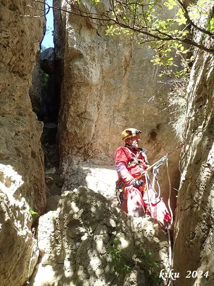
Avencs dels Tres Grans - Xesc
0.0 km · SE
Vilaverd (Conca de Barberà)
3 topo.8 photos
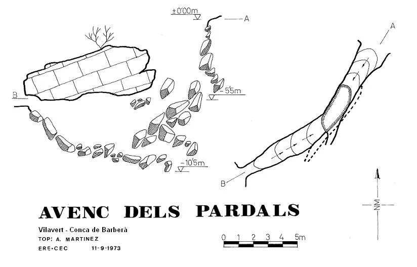
Avenc dels Pardals
0.0 km · SE
Vilaverd (Conca de Barberà)
1 topo.
Avenc del Xalau
0.0 km · E
Vilaverd (Conca de Barberà)
4 topo.12 photos
Cova de les Golfes del Xalau
0.0 km · E
Vilaverd (Conca de Barberà)
1 topo.3 photos
Source: Espeleoindex (espeleoindex.com), modified. CC BY-NC 4.0, https://creativecommons.org/licenses/by-nc/4.0/