
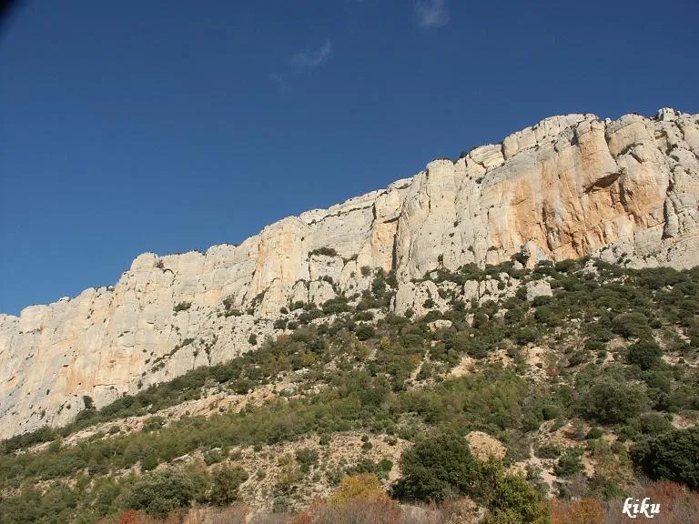
Escletxa de la Trona
A cavity with 35 metres of passage in the municipality of Àger, with a total elevation change of +20 metres.
EspeleoWorld
Escletxa de la Trona
A cavity with 35 metres of passage in the municipality of Àger, with a total elevation change of +20 metres.
Àger · Noguera
Length: 35 m · Depth: 20 m
Updated record
https://espeleoworld.com/en/c/escletxa-de-la-trona
Information can change. Always verify coordinates, access, weather, and cave conditions before setting out.
A cavity with 35 metres of passage in the municipality of Àger, with a total elevation change of +20 metres.
Topographic
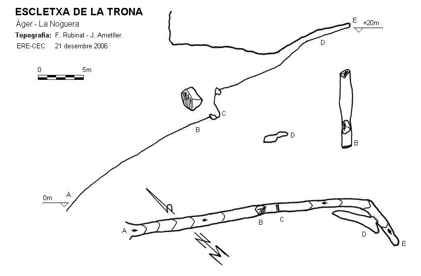
Espeleoindex · CC BY-NC 4.0, https://creativecommons.org/licenses/by-nc/4.0/ · Image © its author.
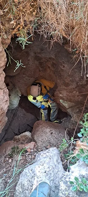
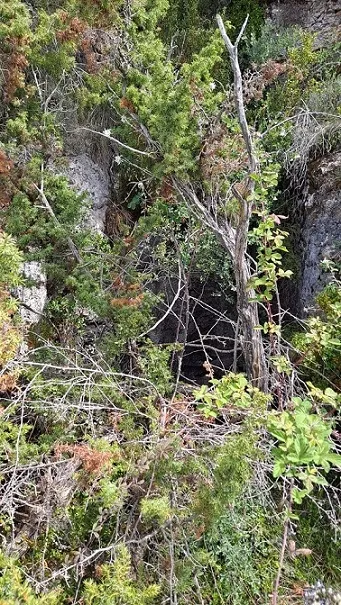
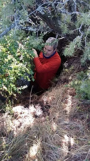
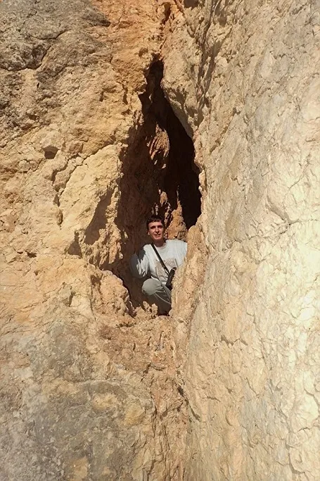
Photos
Espeleoindex · CC BY-NC 4.0, https://creativecommons.org/licenses/by-nc/4.0/ · Image © its author.
Description
Morphology
A very tall fissure but one that is closed by the ceiling. The floor climbs a steep slope up to a large block wedged between the walls. At this point we find a small step that must be climbed. The gallery continues climbing while the height diminishes until it finally closes. Almost at the end we find a small gallery on the right. The total elevation change is +20 metres and the passage 35 metres.
Progression
The floor climbs a steep slope up to a large block wedged between the walls; at this point we find a small step that must be climbed. The gallery continues climbing while the height diminishes until it finally closes. Almost at the end we find a small gallery on the right.
History
This cavity was first explored on 30 March 1972 by the GRE Balaguer, but no further news was had of it. At the beginning of the “80”s a shepherd mentioned its existence to Joan Pallarès and Francesc Rubinat but he did not know how to indicate specifically where it was located. Twenty-five years later the latter, accompanied by Jaume Ametller, located it, and they would still have to return another time to make the survey.
User Comments (0)
No comments yet.
Be the first to share your experience!
Registered Explorations (0)
No explorations registered yet.
Register your visit to this cave!
Bibliography
Arxiu Francesc Rubinat
Nearby caves


Source: Espeleoindex (espeleoindex.com), modified. CC BY-NC 4.0, https://creativecommons.org/licenses/by-nc/4.0/