
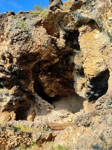
el Tut
A 40-metre-long cave in Cerneres (Josa i Tuixén), used as a sheep shelter.
EspeleoWorld
el Tut
A 40-metre-long cave in Cerneres (Josa i Tuixén), used as a sheep shelter.
Josa i Tuixén · Alt Urgell
Length: 40 m · Depth: 3 m
Updated record
https://espeleoworld.com/en/c/el-tut
Information can change. Always verify coordinates, access, weather, and cave conditions before setting out.
A 40-metre-long cave in Cerneres (Josa i Tuixén), used as a sheep shelter.
Topographic
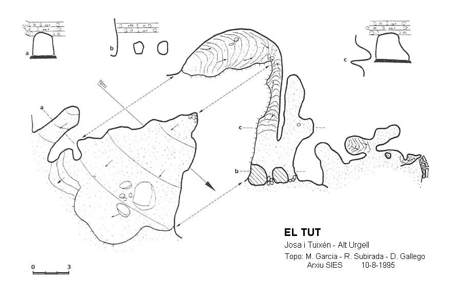

Espeleoindex · CC BY-NC 4.0, https://creativecommons.org/licenses/by-nc/4.0/ · Image © its author.
Photos

Espeleoindex · CC BY-NC 4.0, https://creativecommons.org/licenses/by-nc/4.0/ · Image © its author.
Description
Morphology
Cavity 40 metres long. It is oriented towards the E. One of the chambers, with a surface area of 80 square metres, allows us access by means of some rocks that form a staircase, to an upper level where the most hidden and deep rooms are found. A path that skirts the exterior of the cavity also gives access to the upper levels, where we find some circular-shaped openings that give access to the interior, these being semi-obstructed artificially with blocks.
Other details
Cavity currently used as a sheep shelter.
History
Known in the area since time immemorial despite not appearing in speleological catalogues.
On 30 April 1978, during a campaign carried out by a collective of French groups in the Serra del Cadí, they explore the cavity and cite it with the initials 'SoC1'.
On 10 August 1995, the SIES d'Esplugues explores and surveys it again.
Erroneously cited as Cova del TUT, which is repetitive, in the ICGC cartography, we find it cited correctly.
User Comments (0)
No comments yet.
Be the first to share your experience!
Registered Explorations (0)
No explorations registered yet.
Register your visit to this cave!
Bibliography
C.D.S. 11 Aude (1978).-Memoire champ Sierra del Cadí 1978. S.S.Plantaurel, S.C. MJC de Narbonne et Group TAMS de Narbonne. (document inèdit)
Valles, Jordi de.(2009).-'Alt Urgell, Noguera, Pla d'Urgell, Segarra, Solsonès, Urgell'. Catàleg Espeleològic de Catalunya (vol.2):108-109 Gràcia/FCE.
Coordenades i fotografies de Joan Ramon Segura, extretes del blog (excursions deljoanramon.blogspot.com)
Nearby caves

Cova Petita de Cerneres
0.4 km · NW
Josa i Tuixén (Alt Urgell)
2 topo.3 photos
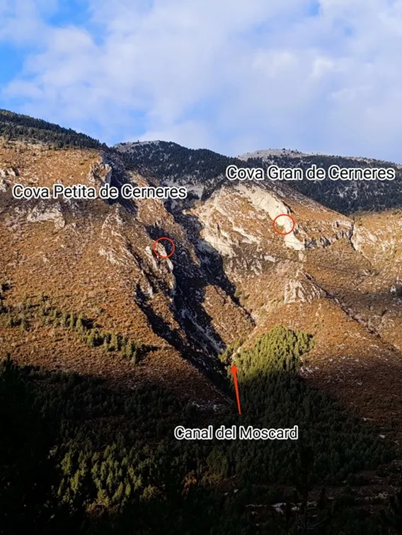
Cova Gran de Cerneres
0.5 km · N
Josa i Tuixén (Alt Urgell)
2 topo.8 photos
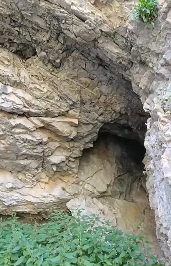
Cova del Torrent dels Cortils
2.1 km · E
Josa i Tuixén (Alt Urgell)
1 topo.6 photos
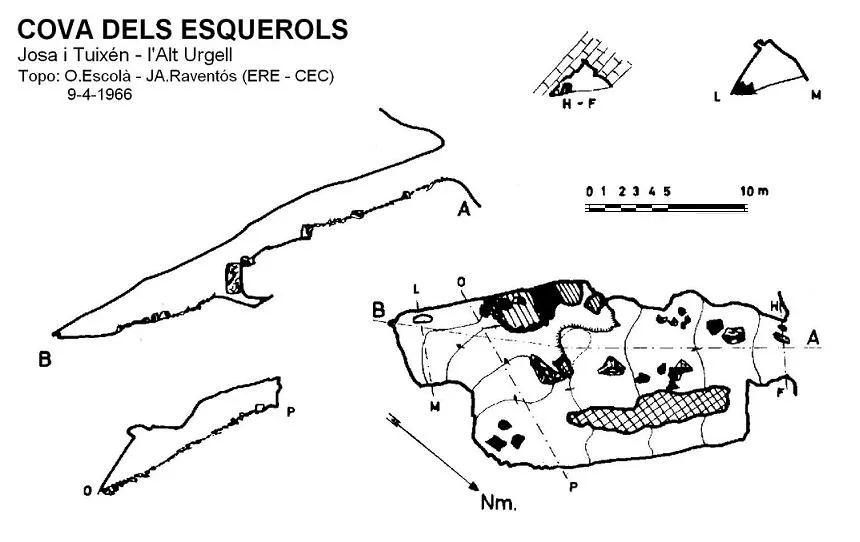
Cova dels Esquerols
2.3 km · W
Josa i Tuixén (Alt Urgell)
1 topo.
Source: Espeleoindex (espeleoindex.com), modified. CC BY-NC 4.0, https://creativecommons.org/licenses/by-nc/4.0/