
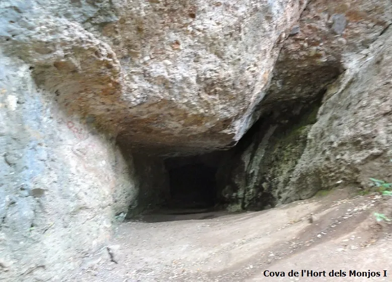
Coves de l'Hort dels Monjos
Conjunt de coves properes al camí d'accés a la Mola.
EspeleoWorld
Coves de l'Hort dels Monjos
Conjunt de coves properes al camí d'accés a la Mola.
Matadepera · Vallès Occidental
Length: 22 m
Updated record
https://espeleoworld.com/en/c/coves-de-l-hort-dels-monjos
Information can change. Always verify coordinates, access, weather, and cave conditions before setting out.
A group of four caves near the access path to La Mola, with a total length of 53 metres.
Topographic
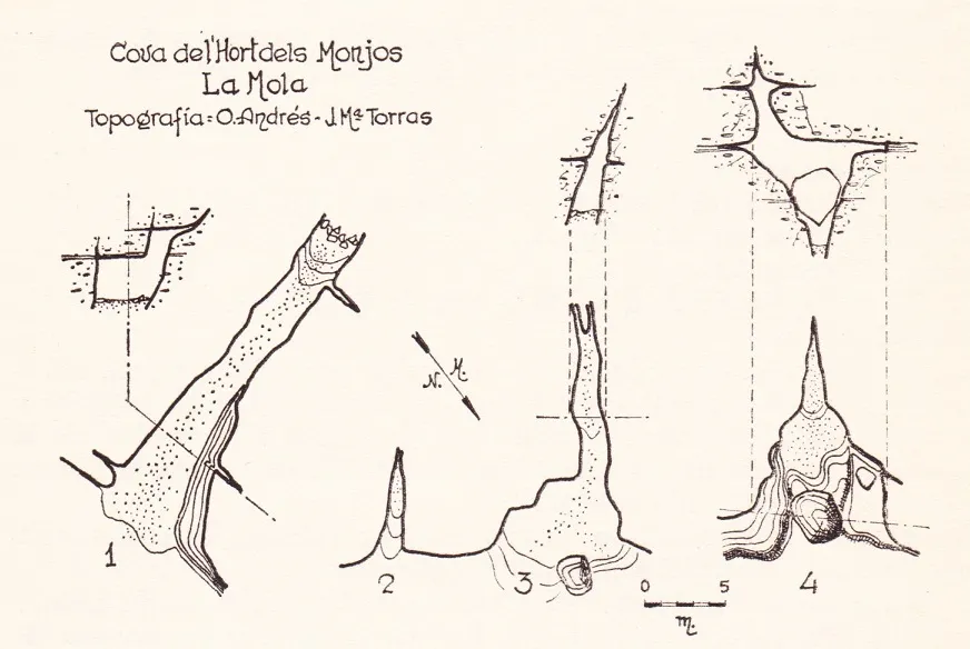

Espeleoindex · CC BY-NC 4.0, https://creativecommons.org/licenses/by-nc/4.0/ · Image © its author.
Photos

Espeleoindex · CC BY-NC 4.0, https://creativecommons.org/licenses/by-nc/4.0/ · Image © its author.
Description
Morphology
The group is made up of four cavities which, although of short length, are quite roomy; the four caves together total 53 metres of length.
The first develops along a bedding plane where we find a joint running E-W with a length of 22 metres.
The second and third cavities are two small joints running S45W with lengths of 5 and 14 metres respectively.
The fourth is a joint similar to the two previous ones; the original entrance is quite modified due to a major collapse. Its length is 12 metres.
History
A cavity known for many years to hikers, although it does not appear cited in the old catalogues. The first reference we find is in the Guia de Sant Llorenç del Munt (CE Terrassa, 1935) where they speak of a single fissure of little importance. These data are repeated in later citations. The GES - CMB visited them for the first time in September 1950 and on many other occasions throughout the 1950s and 1960s. The only survey known of the whole group was possibly made around 1961 or 1962 and in it the whole group of the four small cavities already appears. There is a later survey (Mansell-Badiella 1984) but only the first cave is shown in it.
User Comments (0)
No comments yet.
Be the first to share your experience!
Registered Explorations (0)
No explorations registered yet.
Register your visit to this cave!
Bibliography
- CET. (1935).-Guia monogràfica de Sant Llorenç del Munt i la Mola pp:38-57.
- GES-CMB (1974).-Catalogo Espeleologico de la Provincia de Barcelona (II):1-198.CMB.
- Termes, F. (1951).-”Catálogo espeleológico de la región de Sant Llorens del Munt-Serra del Obac (Provincia de Barcelona)”. Speleon (2-4):225-233. Oviedo.
- Valles Tena, Jordi de (2016).-”Bages, Barcelonès, Maresme, Vallès Occidental, Vallès Oriental” Catàleg Espeleològic de Catalunya (vol.5):380-380. ECG/FCE
- Fotografies i altres dades extretes del blog: trailsantllorenc.blogspot (de Lluís R. Hernández, de Matadepera)
Nearby caves
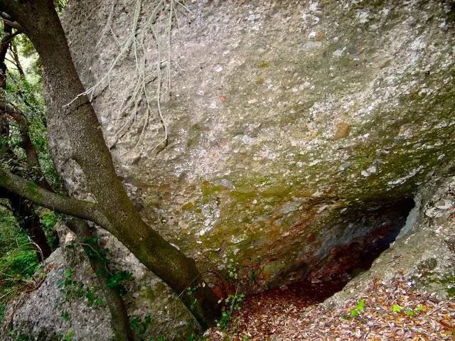
Cova de la Canal de Can Pobla
0.1 km · SW
Matadepera (Vallès Occidental)
1 topo.1 photos
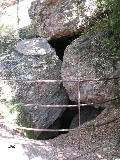
Avenc de Can Pobla
0.2 km · SW
Matadepera (Vallès Occidental)
1 topo.4 photos
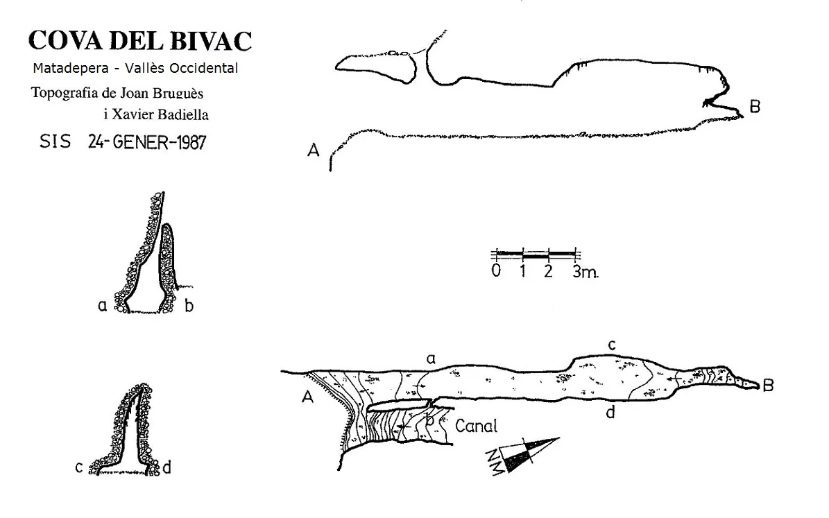
Cova del Bivac
0.2 km · W
Matadepera (Vallès Occidental)
1 topo.
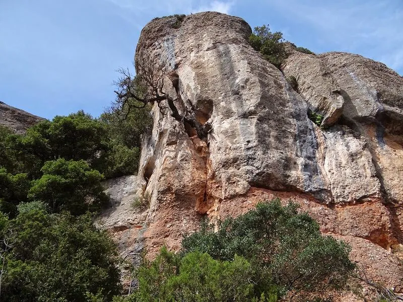
Foradades de la Soleia
0.3 km · SE
Matadepera (Vallès Occidental)
1 topo.2 photos
Source: Espeleoindex (espeleoindex.com), modified. CC BY-NC 4.0, https://creativecommons.org/licenses/by-nc/4.0/