
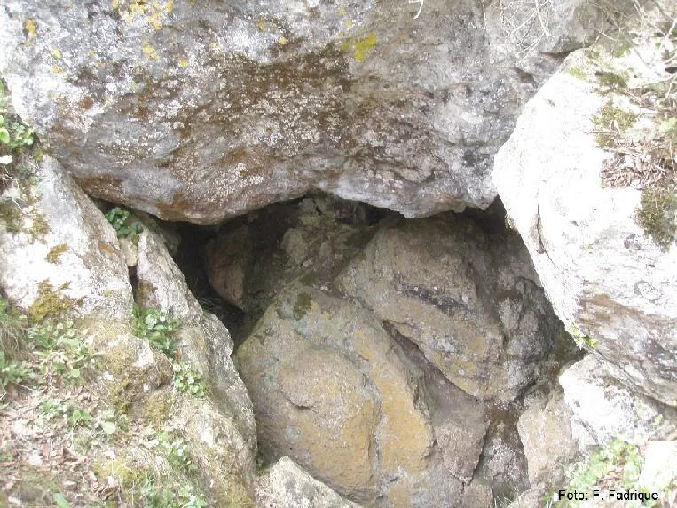
Cova Freda
Small cave with 54 m of passage in Torrelles de Foix, at the puig de les Torres, with two entrances and a vertical drop of -12.80 m.
EspeleoWorld
Cova Freda
Small cave with 54 m of passage in Torrelles de Foix, at the puig de les Torres, with two entrances and a vertical drop of -12.80 m.
Torrelles de Foix · Alt Penedès
Length: 54 m · Depth: 13 m
Updated record
https://espeleoworld.com/en/c/cova-freda-torrelles-de-foix
Information can change. Always verify coordinates, access, weather, and cave conditions before setting out.
Small cave with 54 m of passage in Torrelles de Foix, at the puig de les Torres, with two entrances and a vertical drop of -12.80 m.
Topographic
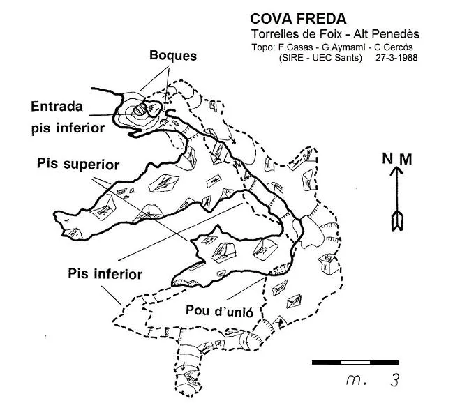

Espeleoindex · CC BY-NC 4.0, https://creativecommons.org/licenses/by-nc/4.0/ · Image © its author.
Photos

Espeleoindex · CC BY-NC 4.0, https://creativecommons.org/licenses/by-nc/4.0/ · Image © its author.
Description
Morphology
Cave with two entrances. The deepest part of the cave is at -12.80 m. The initial chamber is about 5 metres long by 2.50 wide. The upper chamber is about 3×4 metres and another small chamber is about 4×3 metres.
Progression
We will enter through the lower entrance, which is the most accessible. We overcome an R-1.40 and find a joint through which we can advance about 5 metres in a SW direction; at the upper part there is the access to the second entrance and to the upper gallery.
We will choose to enter through a crawlway in a SE direction that descends to turn right with an R-0.60. We find ourselves in a gallery that after 3 metres leads us to a chamber about 5 metres long by 2.50 wide; at the end of this chamber we will see the continuation, we will ignore on the right a chimney that connects us with the upper galleries.
The continuation is a passage that leads us to another chamber, after overcoming an R-1. After 4 metres we see a gully, an old sinkhole of the cavity, and we will descend an R-2.70; we reach the deepest part of the cave: -12.80 m. Here we see that the cavity could still continue further, but it becomes impracticable. It is also observed that desobstruction work or archaeological test pits have been carried out.
In a N direction we will find a series of ascending steps that connect with the upper gallery. On this upper route we first find a chamber about 3×4 metres, which at the end connects with the aforementioned chimney, via an R-1.40. If we look at the ceiling, we see that the gallery continues after an R+1 followed by an R+0.90. We reach another small chamber about 4×3 metres where, towards the E, a passage leads us to the upper entrance and we close the small circuit of this cavity.
Other details
At first it was known as Avenc de les Torres (and so it appears on the ICGC map, although wrongly located), but it seems that the most correct name would be that of Cova Freda (because of the cold air that comes out of the entrance), although some residents of the nearby development have renamed it as Cova del Dragó.
History
It seems that the first documented visit to the cavity is from the mid-1940s by Joan Alayo (collaborator of the Museu de Vilafranca) and Josep Anton Salvà (then owner of the land). In 1968 more complete work is done by J.M. Masachs and A. Comas (Museu de Vilafranca). In May 1969 Antoni Ferrer and other members of the Grup Espeleològic Talaia make a first topographic survey (we do not know it).
In these visits different archaeological materials have been collected, from the Neolithic to medieval.
In March 1988, members of SIRE – UEC Sants visit it and make the topography. Later we know of the visits of our friend Floren Fadrique for biospeleological purposes.
At the beginning of February 2017, members of the GE Badalona relocate it and make a detailed record of the cavity.
Bio
Coleoptera:
- Troglocharinus espanyoli roselli
User Comments (0)
No comments yet.
Be the first to share your experience!
Registered Explorations (0)
No explorations registered yet.
Register your visit to this cave!
Bibliography
- Aymamí, G. (1988).- “Contribució al coneixement espeleològic de l'Alt Penedès (12ª nota)”. Excursionisme (159): 254-255. Unió Excursionista de Catalunya. Barcelona. Barcelona.
- Altres dades a Inventari Arqueològic de la Generalitat de Catalunya (invarque.cultura.gencat.cat)
- Revisió de coordenades, foto boca i dades biospeleològiques facilitades per Floren Fadrique (SIE – CEA).
- Actualització de fitxa, topografia i fotografies extretes del web: geb.cat (del GE Badalona). Apunt del 8-2-2017. Dades de: E. Porcel, J. Cuenca i X. Samarra (GEB)
Nearby caves
Avenc del Rot
1.1 km · E
Torrelles de Foix (Alt Penedès)
2 topo.3 photos
Avenc Petit del Puig Pedregós
1.1 km · E
Torrelles de Foix (Alt Penedès)
2 topo.3 photos
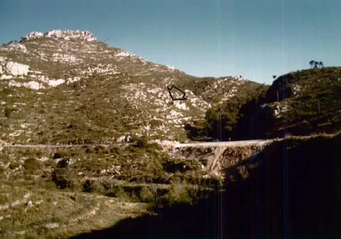
Abric O Cova de la Masia
1.1 km · S
Torrelles de Foix (Alt Penedès)
4 topo.4 photos
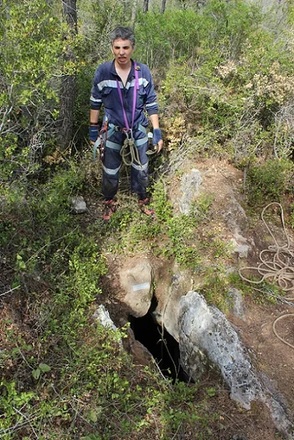
Avenc Josep Cuadrench
1.1 km · E
Torrelles de Foix (Alt Penedès)
2 topo.5 photos
Source: Espeleoindex (espeleoindex.com), modified. CC BY-NC 4.0, https://creativecommons.org/licenses/by-nc/4.0/